£61589
Reached of our £50,000 goalWomen Deserve Better, DONATE TODAY
Every donation counts, donate here to give to Ovarian Cancer Action (registered charity number 1109743)
Click Here to DonateKeep up to date , follow our progress towards our targets.
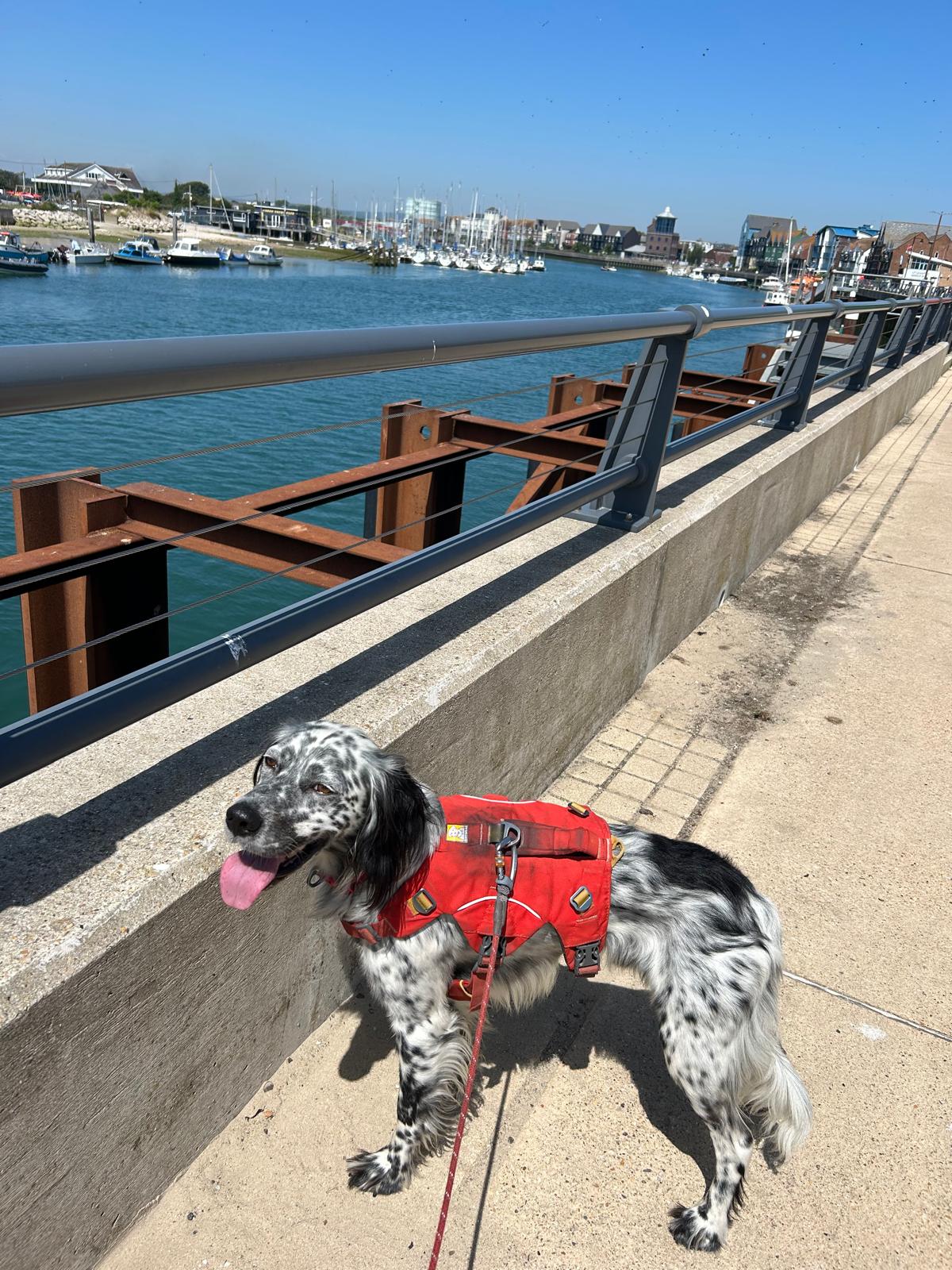
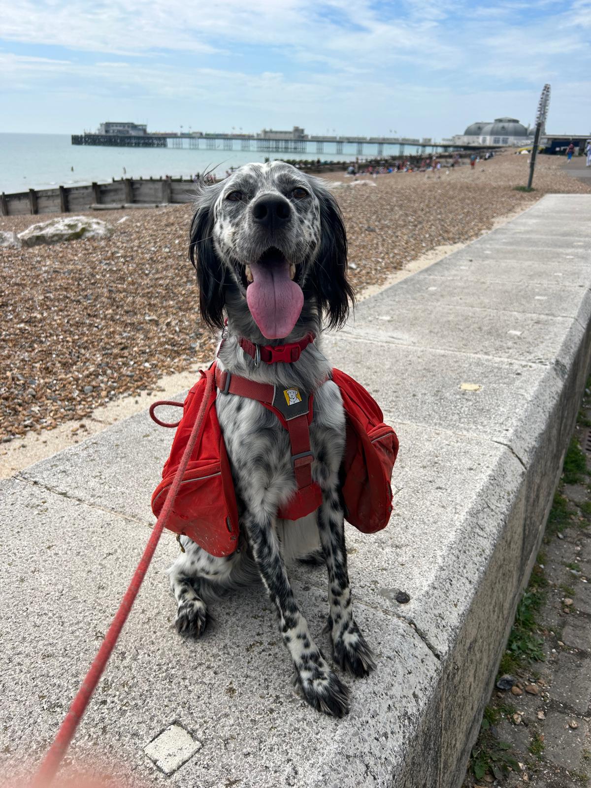
Follow Louis and Nicks adventures here or via Facebook and Instagram. Links on the contact page will take you straight there where we aim to keep you posted on all things interesting.
3/11/2025 12:13:37 PM

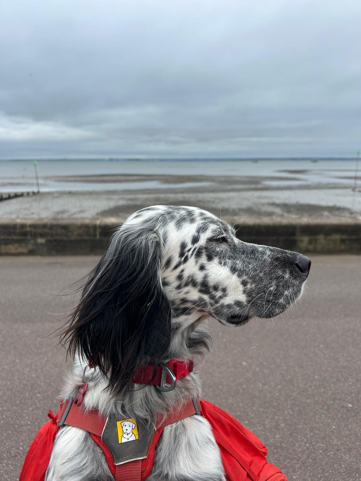
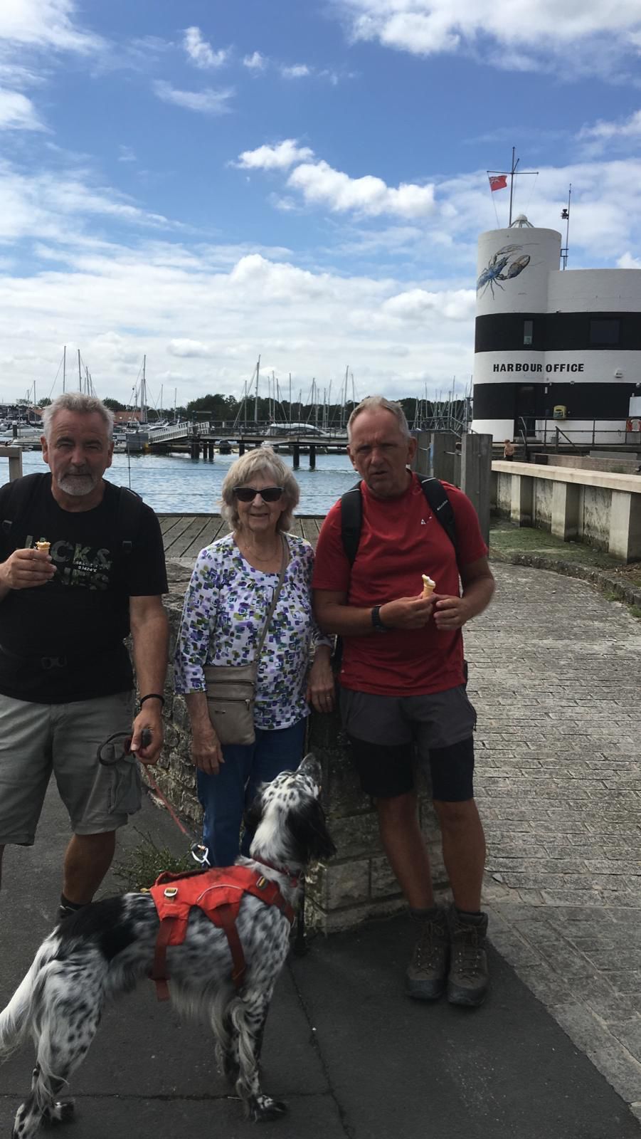
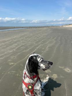
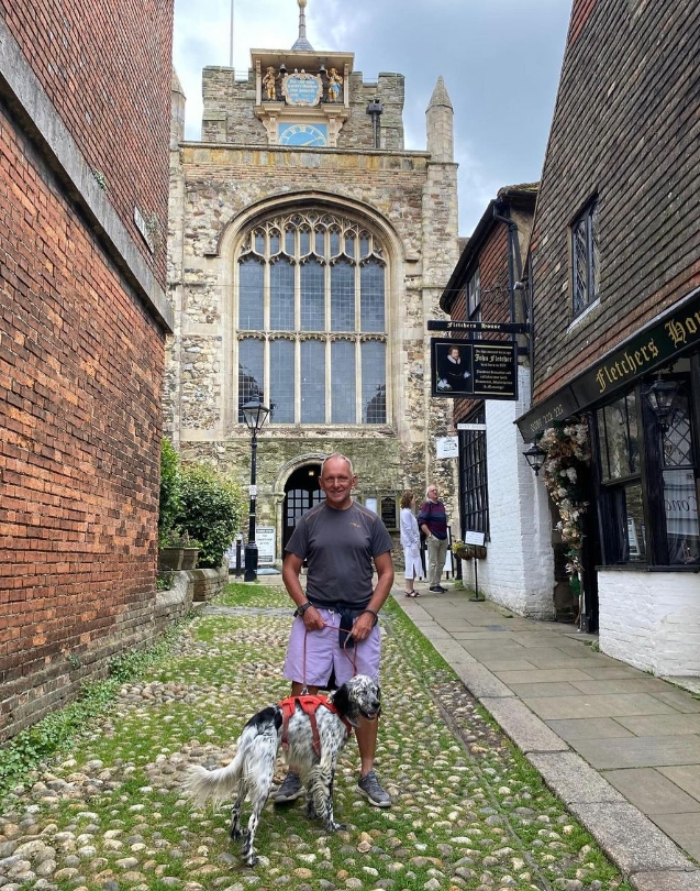
9th March 2025: Our day at Crufts
Not Our Day This Time - what an honour to stand in the main arena as a finalist at Crufts, such an internationally acclaimed event. A winner anyway we are proud to have represented ourselves and shared the message of Ovarian Cancer Action over the last year. Our prize money is to be shared between two great canine charities Hounds For Heroes and the Cinnamon Trust. A HUGE thank you for all your support, encouragement and donations that will make a difference. Louis 🐾 & Nick ❤

Where am i now
3/8/2025 4:46:20 PM
Preparation for Crufts Day
Many thanks to those that have voted for Louis as Hero Dog of the year 2025 at Crufts. There are still a couple of days remaining if you haven’t . And you can vote more than once 🐾
Follow the link for a short video of our story and of course the voting button. 😊
https://crufts.org.uk/whats-on/the-kennel-club-hero-dog-award
Where am i now
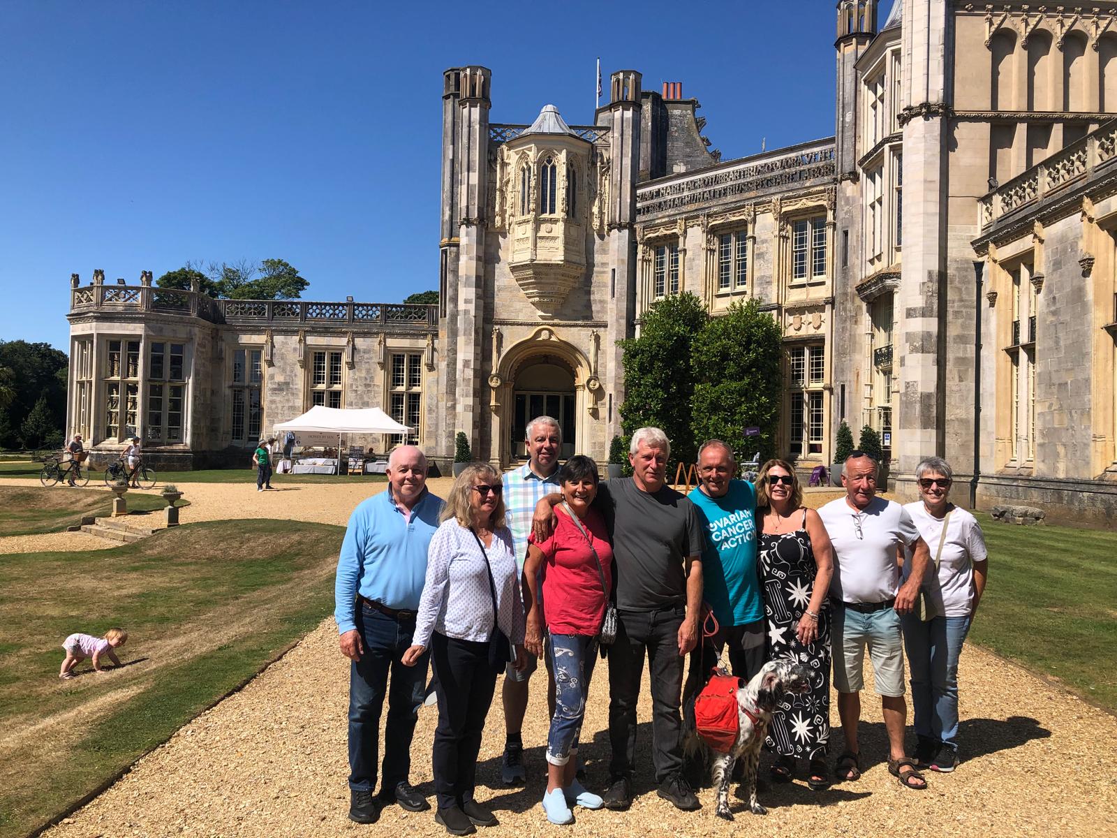
We began our adventure 364 days ago at Highcliffe castle in Dorset. Tomorrow, almost one year to the day Louis is appearing at Crufts having raised £61,278.
Thank you to everyone, for all the kindness, generosity and support you have shown on our journey. It has been truly humbling.
2/19/2025 11:21:27 AM
Update 19th February 2025
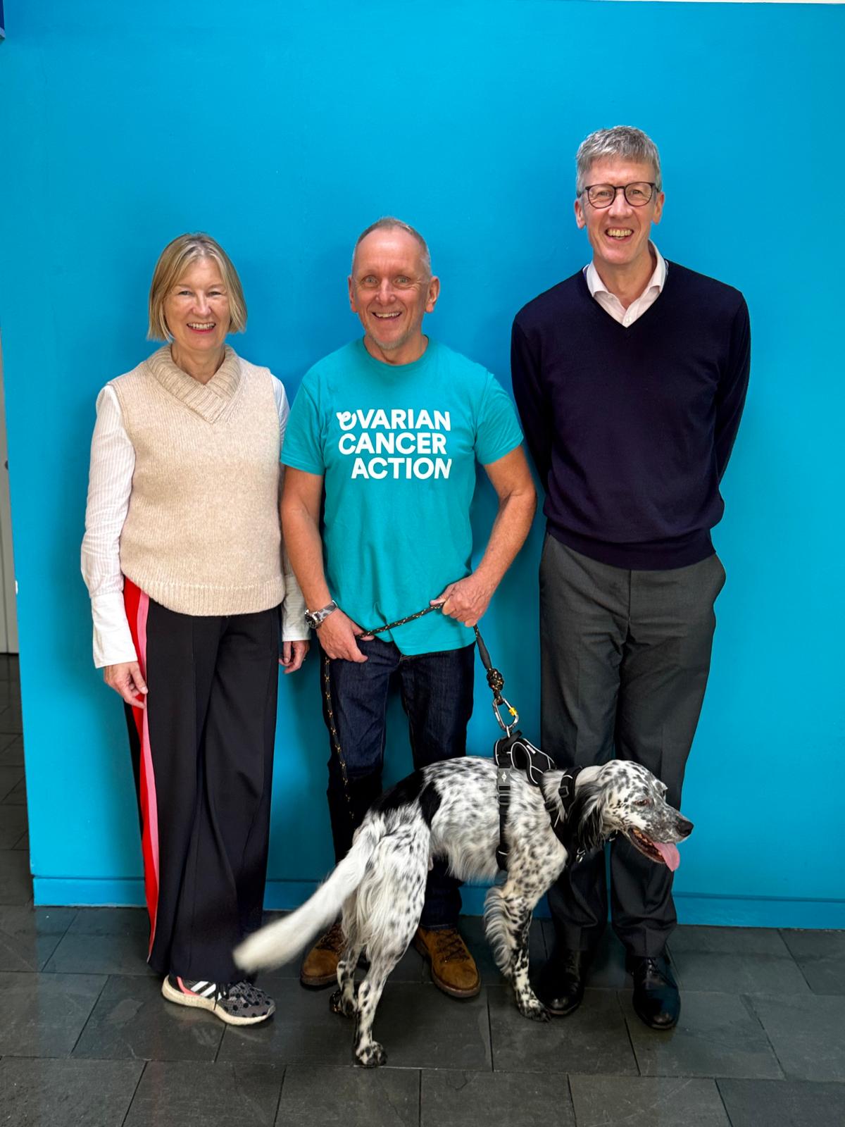
Louis has been announced by the prestigious kennel club as a finalist for this years Hero Dog Award. He will appear at the worlds biggest celebration of dogs, Crufts on Sunday 9th March, and on Channel 4 where the winner will be announced.
Louis exemplifies why dogs are known as "mans best friend" and we would ask you to show your support by voting for such an extraordinary dog and his unwavering loyalty, love and companionship
Please share our message and follow the link to a short video and vote for Louis and the Nick
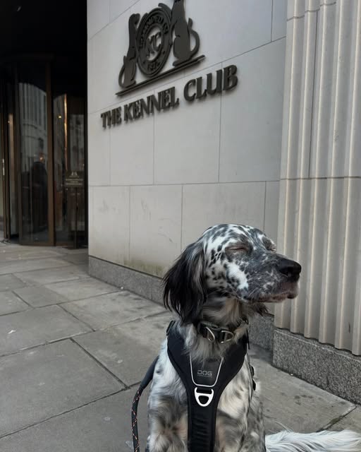
Where am i now
Lovely day at the Kennel Club. they said I might get an award! watch the you tube clip to learn more. Learn more about Louis and Nick
12/24/2024 9:36:33 PM

Update 24th December 2024
Where am i now
Merry Christmas to all that have supported us this year. We are truly grateful for the encouragement and kindness we have received during our trip around the English coastline. We will be back with exciting news in the New Year 😊🐾
11/15/2024 12:42:35 PM
Update 9th November 2024
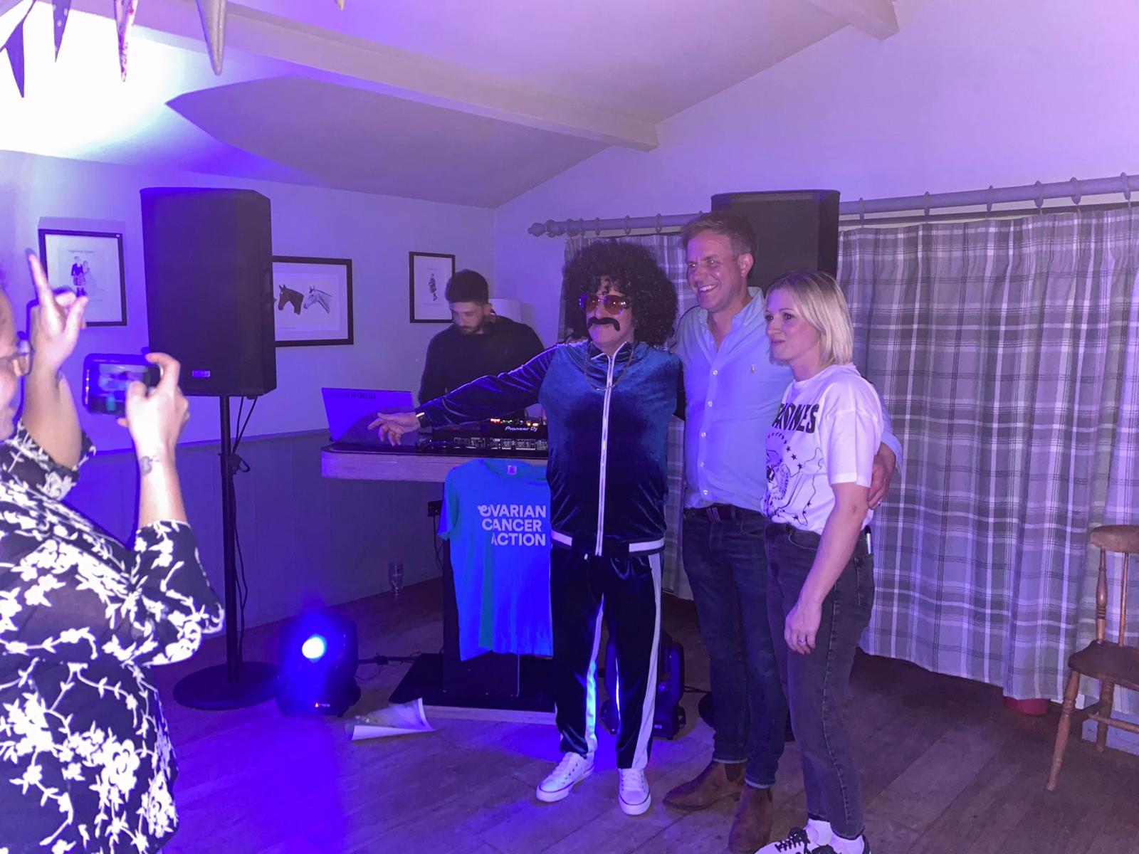
On Saturday 9th November was our final fundraising event. Hosted by Prince Leopold Inn was an 80s themed night enjoyed by all. Many thanks to Paul & Emily for your hospitality and generosity. DJ Henry Ford for keeping the party going and Wayne for his fundraising activities as he couldn’t be there on the night. We expect to be able to add just over another £1000 when all the money is collected. Thank you to all that supported the event and all of kindness and generosity of everybody we have met on our incredible journey.
Where am i now
10/3/2024 6:38:04 AM
Day 162 October 2024
That’s A Wrap - many thanks for Carey, Ian and all at Ovarian Cancer Action for the warm welcome and kind words to celebrate myself and Louis completing our coastline adventure. Over 162 days we walked 2300 miles and have raised a fantastic £57,413 and still going. We have a couple of fundraising events in the diary and are confident that we will reach £60k by the time we close everything on the 11th November. Thank you all who have kept us motivated with your encouragement, kind words and generous donations. We are truly humbled and grateful. We have met so many fantastic people along the way and enjoyed many places in England that we had never before visited. We have so many fond memories of you all . Until next time Nick & Louis ❤️🐾
Where am i now
We are home.
9/17/2024 3:35:34 PM
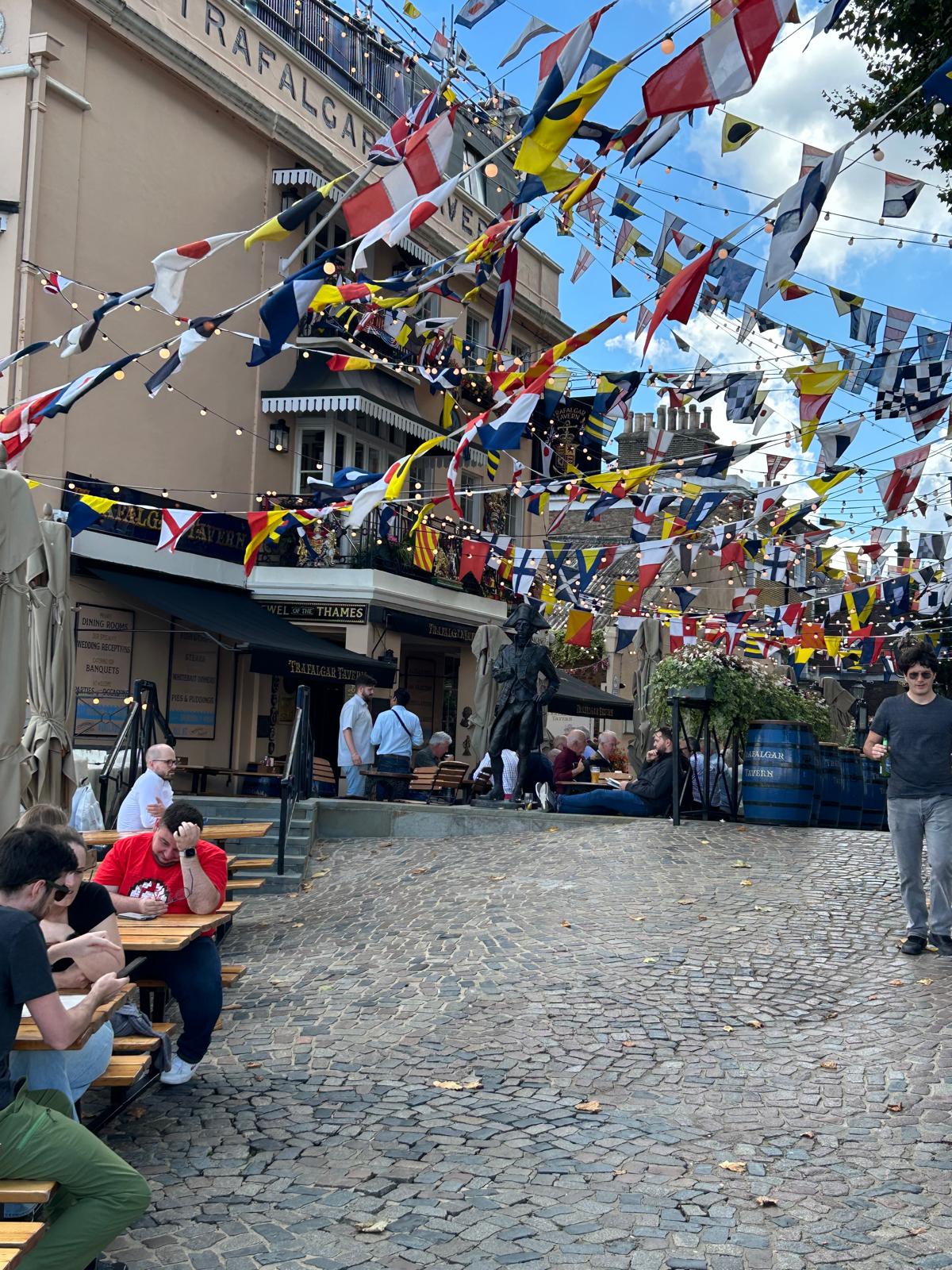
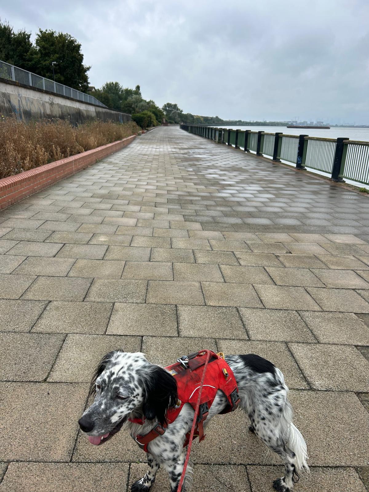
Day 161 18th September : Greenwich to Hammersmith

Today, our last walking day along the river Thames to Hammersmith taking in all the sights as a tourist for the day. We mark this last day with a huge thank you to everyone who has supported, encouraged and donated to our cause. We are truly grateful. In the coming weeks we have a couple of final fundraising events planned and will post updates until November when we hang up our boots and lead and take time to reflect on this massive undertaking. Thank you all. Nick & Louis
Where am i now
A few interesting things about our destination Hammersmith.
First Suspension Bridge: Hammersmith Bridge, built in 1827, was the first suspension bridge over the River Thames. Historic Underground Line: The Hammersmith and City line, which opened in 1864, was the first underground railway line in the world. Cultural Hub: Hammersmith is home to the Lyric Theatre, a renowned venue for contemporary theatre and arts. Smallest Bar in England: The Dove, an 18th-century pub on the northern bank of the Thames, boasts the smallest bar in England. Gandhi’s Connection: Mahatma Gandhi lived in Hammersmith while studying law in the 1880s. First Colour TV Broadcast: Riverside Studios in Hammersmith was the site of the first-ever colour television broadcast by the BBC. Sporting History: Hammersmith is home to several historic rowing clubs and is near the halfway point of the annual Oxford-Cambridge Boat Race.
9/6/2024 7:13:02 AM
Day 160 5th September: Update


Nearly There - following 3 days in Kent and London we’ve walked a further 46 miles. The end is in sight (Greenwich to Hammersmith) as we walk to the Ovarian Cancer Action research centre later in September. We’re looking forward to a warm reception from friends and staff. Massive thanks for all your support and donations - now tipped over £50k 😊🐾
Where am i now
9/4/2024 6:02:34 AM
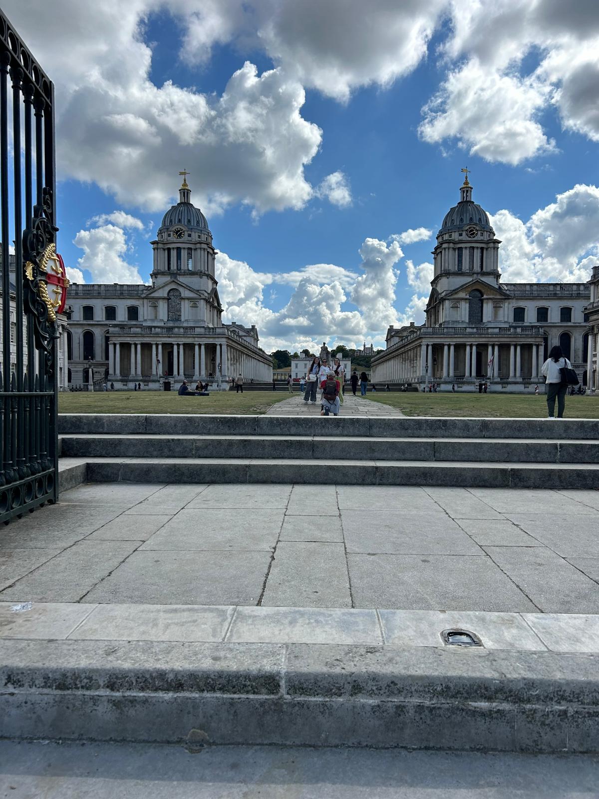
Day 159 4th September : Erith to Greenwich

We will make it to Greenwich today, past london city airport on the north bank, up to the Thames barrier and to our final destination near the O2 centre (Millennium Dome). More updates to follow in he coming weeks.
Where am i now
Erith is an area in south-east London, England, 13.3 miles east of Charing Cross. Before the creation of Greater London in 1965, it was in the historical county of Kent. Erith owes its existence to the Thames and was, until the 1850s, essentially a small riverside port, given prominence by King Henry VIII's decision to open a naval dockyard in the town. The position of the dockyard is approximately, where the 'Riverside Gardens' are now. His famous warship, Henri Grace à Dieu, was fitted out there in 1515. [5] At that time, and until the 19th Century, Erith was a popular anchorage. Ships often discharged some cargo here before proceeding through the shallows upstream.
Greenwich is notable for its maritime history and for giving its name to the Greenwich Meridian (0° longitude) and Greenwich Mean Time. The town became the site of a royal palace, the Palace of Placentia, from the 15th century and was the birthplace of many Tudors, including Henry VIII and Elizabeth I. The palace fell into disrepair during the English Civil War and was demolished to eventually be replaced by the Royal Naval Hospital for Sailors, designed by Sir Christopher Wren and his assistant Nicholas Hawksmoor. These buildings became the Royal Naval College in 1873, and they remained a military education establishment until 1998 when they passed into the hands of the Greenwich Foundation.
The palace was created by Humphrey, Duke of Gloucester, Henry V's younger brother and regent to his son - Henry VI - in 1447. It was the principal residence of Henry VII whose sons Henry (later Henry VIII) and Edmund Tudor were born here, and baptised in St Alphege's. Henry favoured Greenwich over nearby Eltham Palace, the former principal royal palace in south London, but which was not on the River Thames and so was less accessible. Henry extended Greenwich Palace and it became his principal London seat until Whitehall Palace was built in the 1530s. Henry VIII married Catherine of Aragon and Anne of Cleves at Greenwich, and both Mary (18 February 1516) and Elizabeth (7 September 1533) were born at Greenwich. His son Edward VI also died there at age 15.
9/2/2024 9:20:59 PM
Day 158 3rd September : Northfleet to Dartford

Today we will travel from Northfleet to Dartford.
It was a big day yesterday as we were informed we had hit our target of £50,000. A truly heartfelt thanks to all our supporters, it means so much to get to that target.
Where am i now
Dartford, a town on the south bank of the Thames in Kent, has a rich history and plenty of interesting attractions. In prehistoric times, the first people appeared in the Dartford area around 250,000 years ago: a tribe of prehistoric hunter-gatherers whose exemplar is called Swanscombe Man. Many other archaeological investigations have revealed a good picture of occupation of the district with important finds from the Stone Age, the Bronze Age and the Iron Age. When the Romans engineered the Dover to London road (afterwards named Watling Street), it was necessary to cross the River Darent by ford, giving the settlement its name. Roman villas were built along the Darent Valley, and at Noviomagus (Crayford).
Thomas Walter Jennings created the Vox musical brand, with products such as the AC15 and AC30 amplifiers originating in Dartford. The AC30 reputed to be Queen Guitarist, Brian May's favourite amplifier/
8/29/2024 9:11:20 AM
Day 157 2nd September Isle of Grain to Northfleet

As part of our plan to complete as much of the available, walkable King Charles III England Coast path. We plan to head off to Kent on Monday and Tuesday next week.
Where am i now
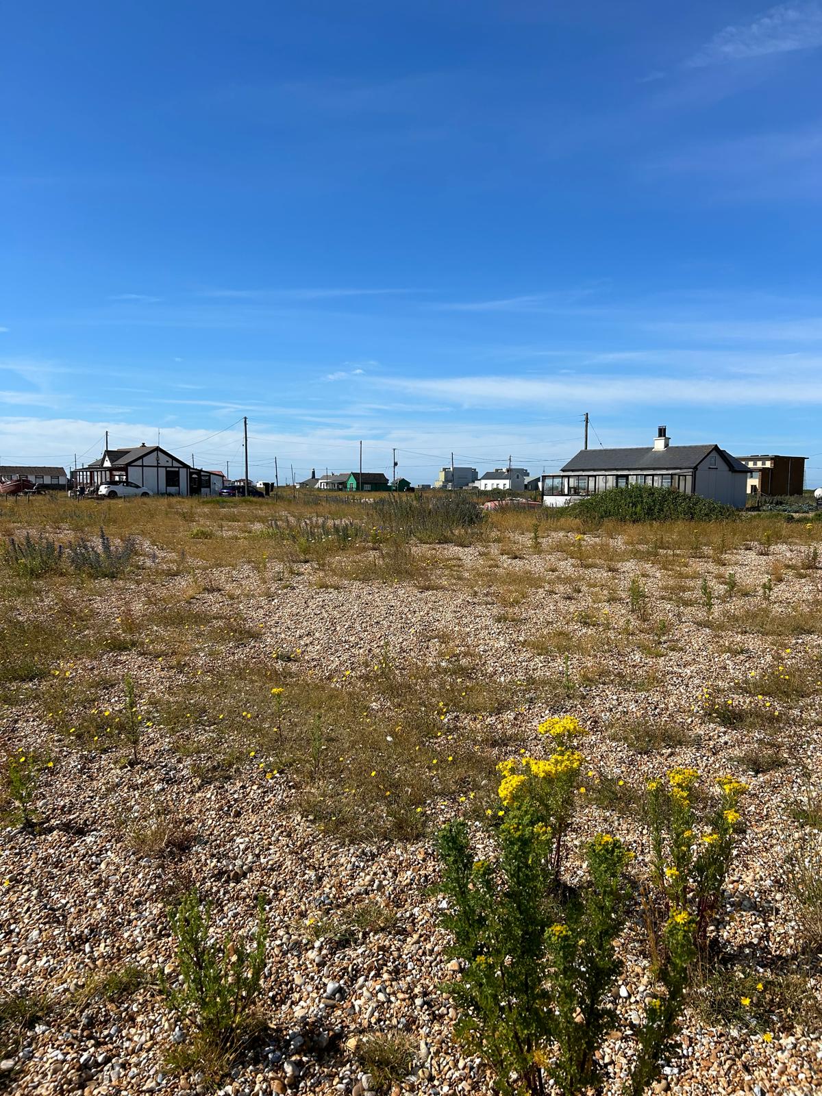
Grain Tower: Constructed in 1855, the Grain Tower is a fort located about a quarter of a mile offshore. Accessible at low tide, it was used for coastal defence during the World Wars. Concrete emplacements and shelters were added during this period.
Marsh Fever: In warm years, the incidence of “marsh fever” (malaria) was extremely high. However, since the removal of livestock from marshy areas, native mosquito populations have declined, and Britain’s last recorded outbreak of malaria was in 1918.
8/20/2024 2:28:26 PM
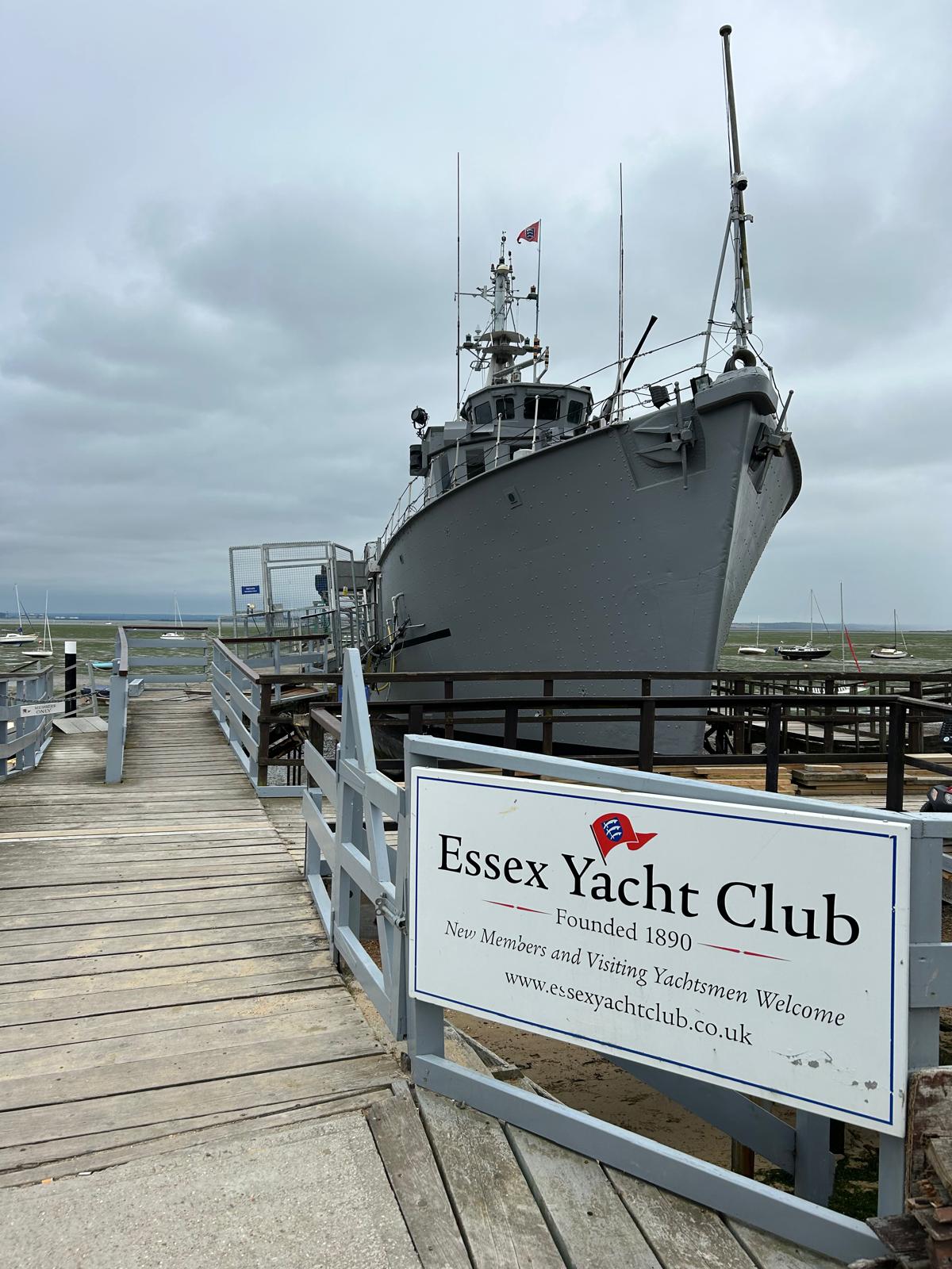
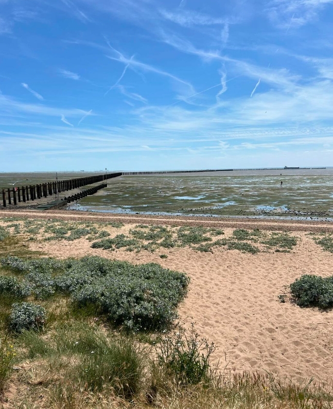
Day 156 21st August: Benfleet to Tilbury
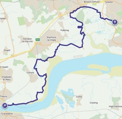
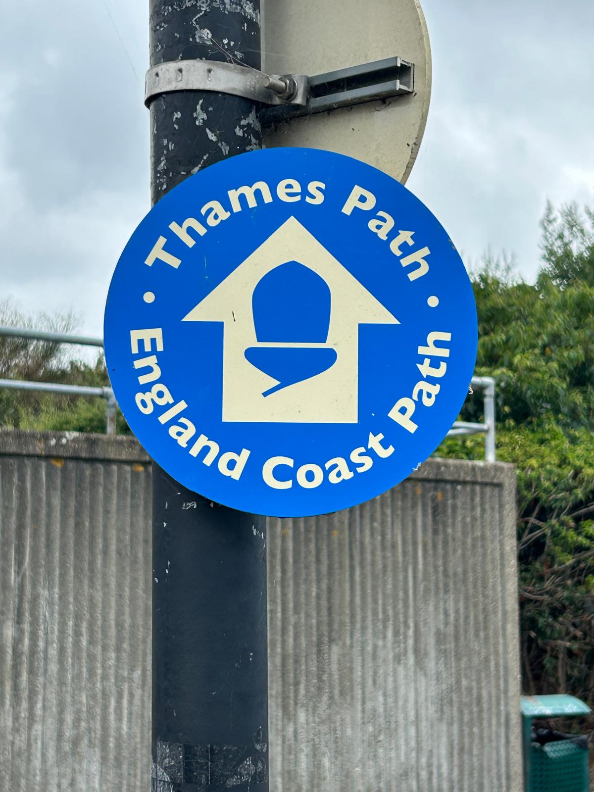
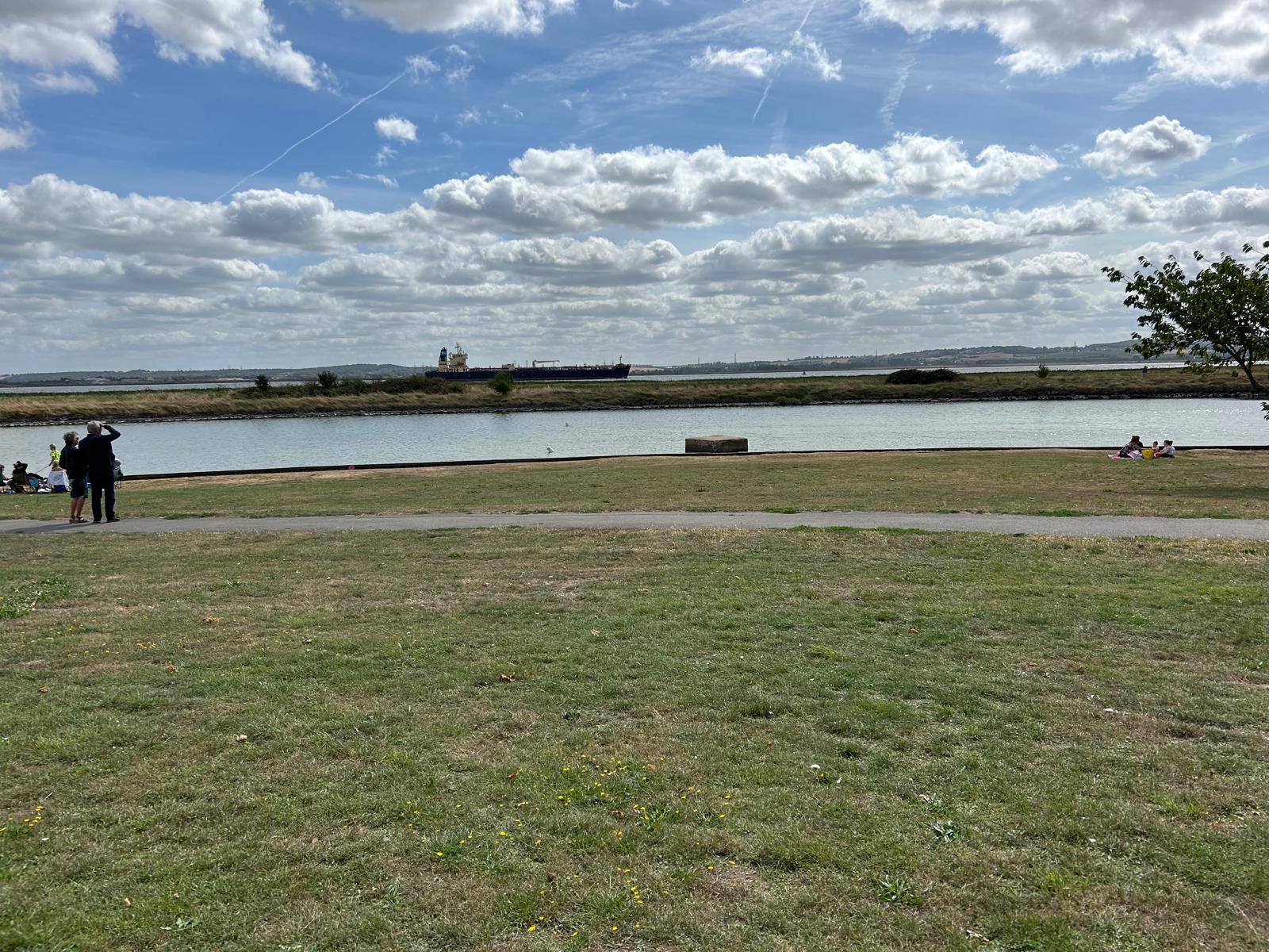
After a week at home Louis and I will travel to Essex to complete the coastal path from Benfleet to Tilbury a 21 mile walk which will be a mixture of marshland, mudflats, industrial and of course the Thames estuary. Unfortunately the Tilbury to Gravesend ferry has not been running since April this year which means we will have to find another route into Kent as we have a couple of days to walk from Grain Island back inland. We aim to tackle these in future weeks.

Where am i now
The battle of Benfleet.
The Battle of Benfleet was an 894 battle between the Vikings and the Anglo-Saxons commanded by Edward the Elder and Æthelred, Lord of the Mercians, the son and son-in-law of Alfred the Great respectively. The battle was part of a campaign started by the Vikings in 892 to raid and potentially occupy lands in England, having been defeated by the armies of France. As part of this campaign the invaders were supported by those Vikings who had settled in England following an earlier invasion launched in 865. The battle was a victory for the Anglo-Saxons who successfully captured a number of women and children, as well as capturing or destroying the Viking ships.
The Port of Tilbury is a port on the River Thames at Tilbury in Essex, England. It is the principal port for London, as well as being the main United Kingdom port for handling the importation of paper. There are extensive facilities for containers, grain, and other bulk cargoes. There are also facilities for the importation of cars.
8/13/2024 10:08:44 AM
13th August Update
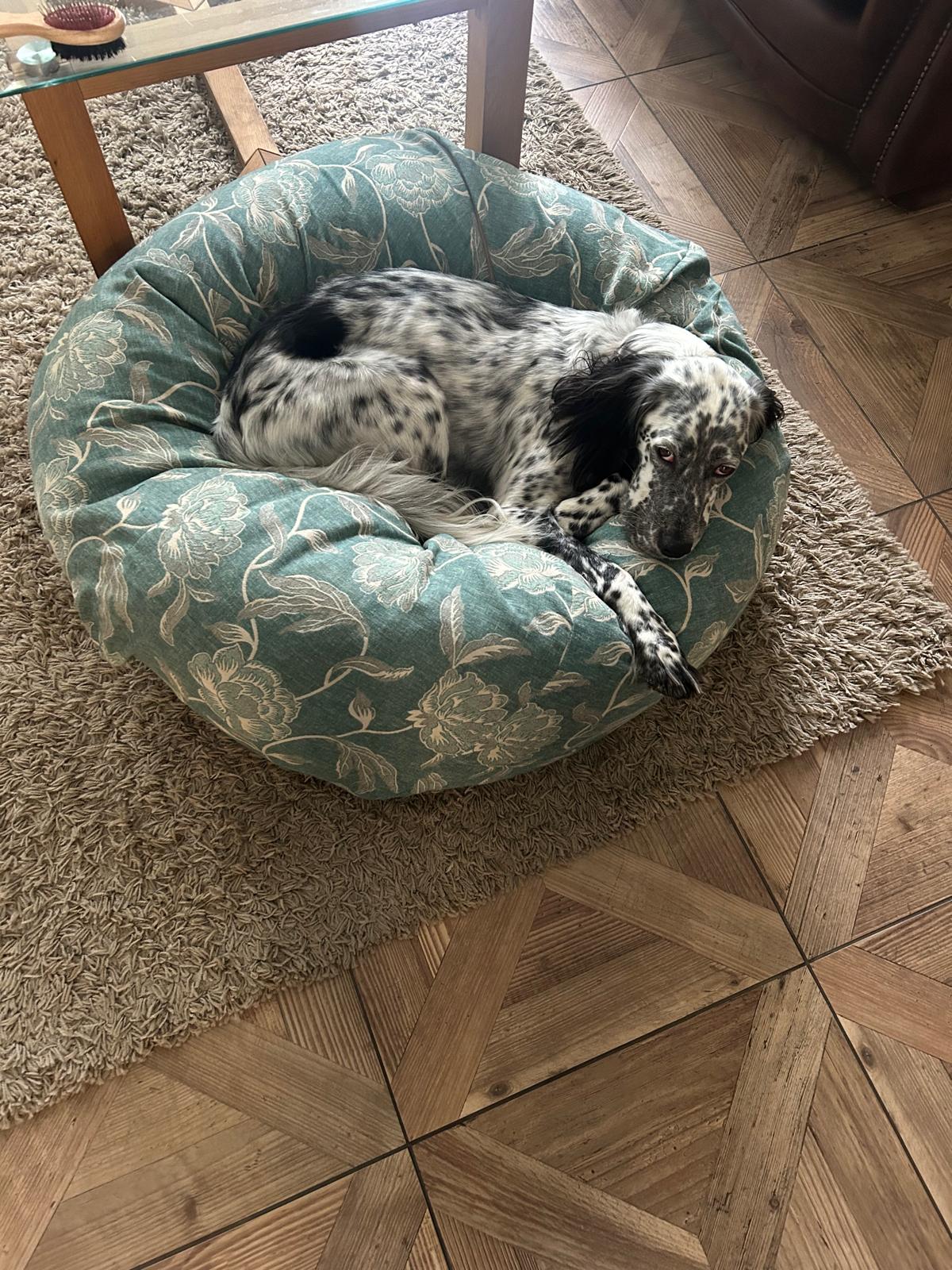
See Louis reaction to being back in his garden below. There may just be a bird in that bush!
Louis was happy to be back checking out the garden
Where am i now
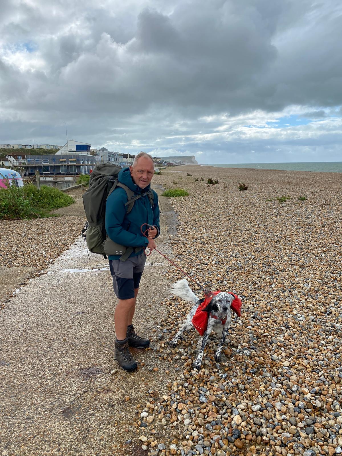
Sunday August 11th and we arrived back to a warm welcome at Highcliffe Castle. With a 100 miles or so still complete from Essex and Kent back down the Thames estuary to close our adventure at the Ovarian Cancer Action research centre in Hammersmith during September. We are heading home which will feel strange after so long being away. We will post regular updates. Thank you all for following us on our journey and your support and kind donations.
8/11/2024 2:58:38 AM
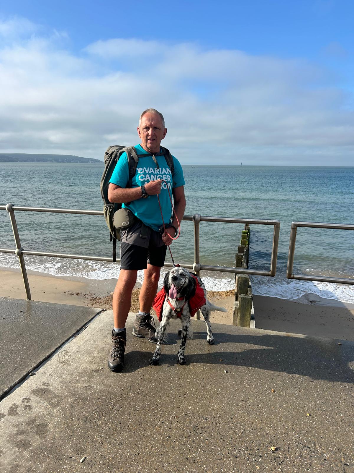
Day 155 August 11th: Milford on Sea to Highcliffe Castle

Where am i now
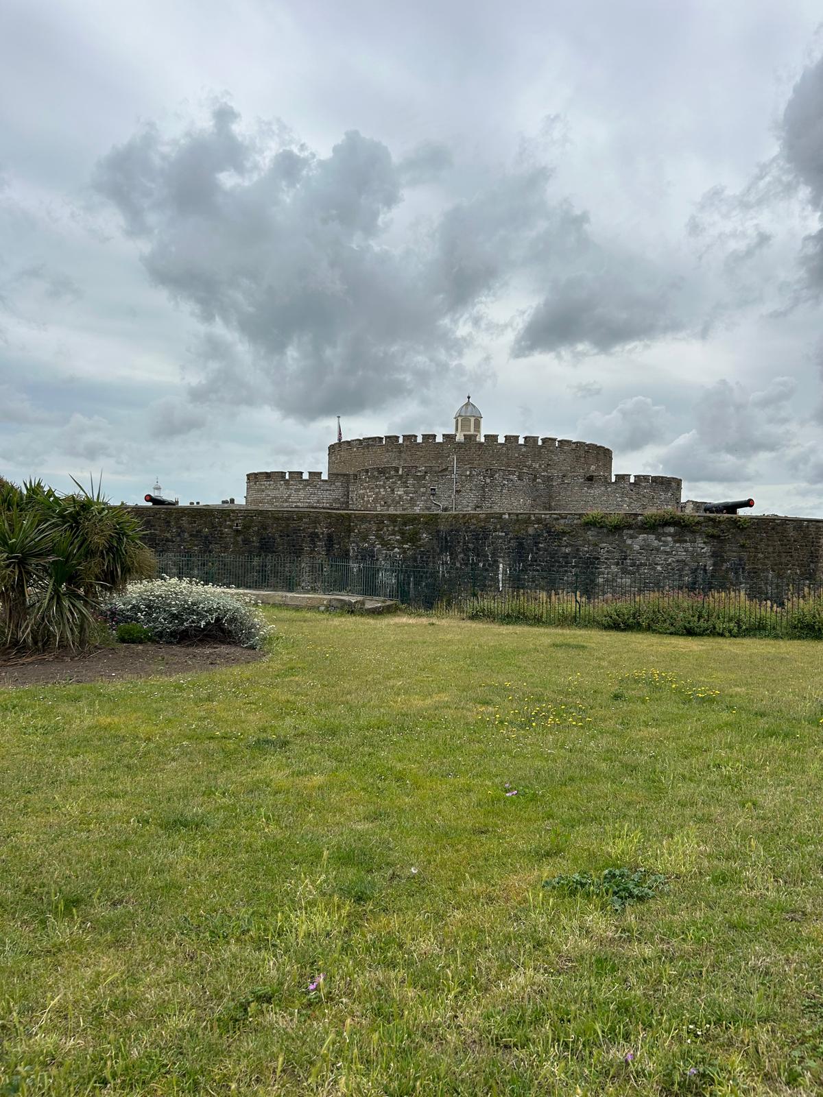
Our last round England stop is the place we started, Highcliffe Castle. Here is a little history about the Castle.
Highcliffe Castle, situated on the cliffs at Highcliffe, Dorset, was built between 1831 and 1835 by Charles Stuart, 1st Baron Stuart de Rothesay in a Romantic and Picturesque, Gothic Revival style near the site of High Cliff House, a Georgian Mansion designed for the 3rd Earl of Bute (a founder of Kew Gardens) with the gardens laid out by Capability Brown.The design, by William Donthorne, a founder member of RIBA, incorporated large quantities of carved Medieval stonework salvaged from the ruined Benedictine Abbey of St Peter at Jumieges and the Grand' Maison des Andelys, both situated in Normandy, France.
Charles Stuart was born in 1779, the eldest son of General Sir Charles Stuart and Anne Louisa who was the daughter of Lord Vere Bertie.
Educated at Eton college, in 1801 he entered the diplomatic service, serving in Vienna, St Petersburg, French-occupied Spain, and in Portugal. It was as Ambassador in Spain that he became indispensable to the Duke of Wellington, and accompanied him during Napoleon's Hundred Days through to the Battle of Waterloo. After the defeat of Napoleon, Charles escorted the exiled French King Louis XVIII back to Paris and became British Ambassador there. His greatest achievement was the treaty which enabled Brazil to become independent of Portugal in 1825.
Louisa, Marchioness of Waterford entertained the Prince and Princess of Wales (later King Edward and Queen Alexandra) at Highcliffe Castle. In 1880 she recounts one of their visits.
"I have had a great surprise in the unexpected visit of the Prince and Princess of Wales, with their two sons and the three little Princesses, landing on the beach, coming up to tea, and drawing nets on the shore till evening — the young Princes swimming about in flannels, and finally the Prince and two sons swimming away to join the steam-tug."
Edward Stuart Wortley inherited the estate and In 1907 as a guest, Kaiser Wilhelm II stayed at Highcliffe Castle for three weeks to recover his health. This visit was widely publicised. While he was there, the Kaiser presented two stained glass windows to Stuart Wortley which were inserted in one of the rooms.
One of the most notable tenants from 1916 to 1922 was the American-born retail entrepreneur Harry Gordon Selfridge. He lived there with his wife Rosalie, his mother Louis and son Gordon.
8/10/2024 7:13:17 AM
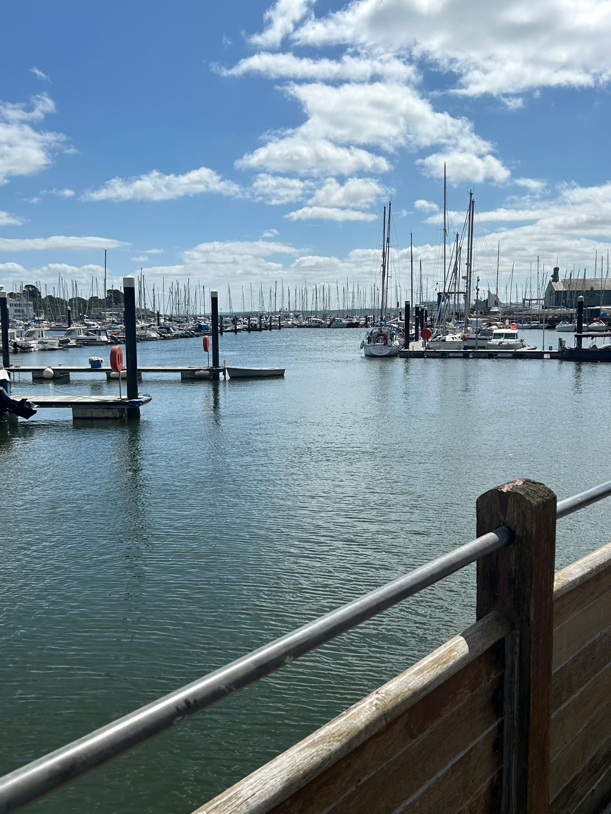
Day 154 August 10th: Lymington to Keyhaven and Milford on Sea

Today we re-join the Lymington river west bank, following down and around the old town and onto towards the marina. We will then turn our attention to getting to Hurst Castle.To do this we will walk around the nature reserve and on into Keyhaven.
We will visit Hurst Castle, the nearest point from the Isle of Wight to the mainland before returning back and along the coast path to South Milford on sea.

Don’t Ask Me Which Way - you’re the one with the maps on your phone 🐾🐾
Where am i now
Keyhaven, Pennington, Oxey and Normandy Marshes, also known as the North Solent Marshes, are three areas of saltmarsh in Hampshire, England. The haven outpost of Milford-on-Sea, Keyhaven sits to the west, the village of Pennington to the north, and the town of Lymington to the northeast. The marshes lie behind Hurst Spit and fall within the Hurst Castle And Lymington River Estuary Site of Special Scientific Interest.
The marshes were once used as salterns for the thriving salt industry. The salterns are first mentioned in 1132, and continued in use until 1865.
Hurst Castle is an artillery fort established by Henry VIII on the Hurst Spit in Hampshire, England, between 1541 and 1544. It formed part of the king's Device Forts coastal protection programme against invasion from France and the Holy Roman Empire, and defended the western entrance to the Solent waterway. The castle formed part of a network of defences around the entrance to the Solent during the First World War, and was re-armed again during the Second World War. The military decommissioned the fort in 1956 and it passed into the control of the Ministry of Works. Today it is a tourist site run by the friends of Hurst Castle and English heritage. The World Monuments Fund included the castle on their 2022 World Monuments Watch list of most endangered sites.
8/9/2024 5:30:09 AM
Day 153 August 9th: Brockenhurst to Milford on Sea

We will travel down the river Lymington on the west bank through to the Nature reserve and then drop down around Lymington to Milford on Sea. We will return to Lymington tomorrow to complete the section from Lymington Taking in Hurst castle.
A personal thank you to all our donators big and small. It has kept us going.
Where am i now
The earliest signs of habitation in Brockenhurst date back 4,000 years to the Bronze Age. Th New Forest. Europe's largest surviving area of ancient pasture woodland. William the Conqueror created his Nova Foresta traditionally in 1079, a vast hunting area lying south and west of his capital at Winchester; it stretched south to the coast at Barton on Sea and west to what is now Bournemouth.
The manor of Milford Baddesley originated in an estate held in Milford by the Knights Templar. In the time of King John, Hugh de Whitwell and his son William granted land at Milford to William Mackerel which he granted to the Templars, for their preceptory of Baddesley. It was held of Christchurch manor. On the suppression of the order of Knights Templar this estate was granted, about 1312 to the Knights Hospitaller, to whom it continued to belong until the Dissolution of 1540.
As recently as 1800 the parish of Milford was entirely inland, being separated from the sea by a narrow strip of coast-line which was an extension eastwards of Hordle parish. Coastal erosion, as well as the growth of the village to the south and west, meant that by 1900 Milford bordered the sea.
8/7/2024 5:59:10 PM
Day 152 August 8th: Beaulieu to Lymington

Our path to Lymington from Beaulieu
A rather wet and breezy day down to Lymington where the Isle of Wight is obscured by low clouds. Lovely starting in Beaulieu this morning, Bucklers hard downstream below


Lovely day, not too hot and comfortable old furniture.
Where am i now
The name "Beaulieu" comes from the French beau lieu, which means "beautiful place". Beaulieu Abbey was populated by 30 monks sent from the French abbey of Cîteaux, the mother house of the Cistercian order. The medieval Latin name of the monastery was Bellus Locus Regis ("the beautiful place of the king"). Nearby is Buckler's Hard which grew to national prominence under Henry Adams and won subsequent Royal Navy contracts. Over the following sixty years, Adams would supervise the building of 43 Royal Navy ships at Buckler's Hard, including three that fought at the Battle of Trafalgar in 1805: HMS Euryalus, HMS Swiftsure, and HMS Agamemnon.
Buckler's Hard was where Sir Francis Chichester began and finished his solo voyage around the world in the Gipsy Moth IV.
The earliest settlement in the Lymington area was around the Iron Age hill fort known today as Buckland Rings. The hill and ditches of the fort survive, and archaeological excavation of part of the walls was carried out in 1935. The fort has been dated to around the 6th century BC. There is another supposed Iron Age site at nearby Ampress Hole. However, evidence of later settlement there (as opposed to occupation) is sparse before Domesday (1086).
Lymington itself began as an Anglo-Saxon village. The Jutes arrived in the area from the Isle of Wight in the 6th century and founded a settlement called Limentun. The Old English word tun means a farm or hamlet whilst limen is derived from the Ancient British word *lemanos meaning an elm tree.
The town is recorded in Domesday as Lentune. About 1200, the lord of the manor, William de Redvers created the borough of New Lymington around the present quay and High Street, while Old Lymington comprised the rest of the parish. Lymington was famous for salt-making from the Middle Ages up to the 19th century. There was an almost continuous belt of salt workings along the coast toward Hurst Spit.
Lymington is famous for its sailing history, and in recent years has been home to the world-famous regattas such as the Royal Lymington Cup, Etchells Worlds, Macnamara's Bowl, and Source Regatta.
8/6/2024 3:09:46 PM
Day 151 August 7th: Hythe to West Common (1)
Our route starts from Southampton , across the water to Hythe and down the west back of Southampton water.
Where am i now
The name Hythe means landing-place or haven. Which is why the name is present in multiple counties along the south coast. Hythe in Hampshire, is recorded in a Parliamentary roll from 1293.[3] The Hythe ferry ("Hitheferye") to Southampton is marked on a map by Christopher Saxton of 1575, and on a map by John Harrison in 1788. That's the ferry we will be taking.
The Hovercraft Development Company and Sir Christopher Cockerell, its founder, moved to Hythe.
Fawley Refinery is an oil refinery located at Fawley, Hampshire, England. The refinery is owned by Esso Petroleum Company Limited, a subsidiary of Exxon Mobil Corporation, which acquired the site in 1925. Situated on Southampton Water, it was rebuilt and extended in 1951 and is now the largest oil refinery in the United Kingdom, and one of the most complex refineries in Europe. With a capacity of 270,000 barrels (43,000 m3) per day, Fawley provides 20 per cent of the UK's refinery capacity. Over 2,500 people are employed at the site.
n 1539, Henry VIII ordered the construction of Calshot Castle, at the end of Calshot Spit, to defend the port of Southampton from attack. Following a volcanic eruption in 1961, the population of the Tristan da Cunha islands was evacuated to Calshot.[3] Many evacuees thrived, with the children attending local schools and adults employed in a variety of local businesses and ships. However, problems occurred: one of the islanders' elders, a disabled gentleman called Ian Bootla, was mugged, the islanders lacked immunity from flu epidemics, and they also had to endure the harsh winter of 1962–63. Most of the islanders returned home, but some of the families decided to stay and remain a close-knit community centred on a complex of 50 houses called Tristan Close. Those that returned to Tristan da Cunha renamed the harbour there Calshot Harbour, after their temporary home.
The original hangar from the World War II flying boats remains as an activity centre for watersports (including kite-surfing), climbing, snowboarding and track cycling.
8/6/2024 6:38:48 AM
Day 150 August 6th : Southampton to Hamble

We will be starting form Southampton Docks down Southampton water Across the Itchen River. We then turn down towards Weston Shore, Netley before turning up the Hamble river to Hamble Le Rice village.
Where am i now
The place-name 'Hamble-le-Rice' is first attested in a French document of 1147, where it appears as Amle. It appears as Hamele in 1270, and as hamele in the Rys in 1404. Hamble-le-Rice was the home of a major flying school before and during the Second World War for aircraft including the Spitfire, the Lancaster and the Wellington.
In 1237, Netley Abbey, after which the village gained its name, was built. The site was picked specifically as it met the requirements of the Cistercians that would run it.
Weston Shore draws large crowds for every cruise liner that makes its first or final trip along Southampton Water to the port of Southampton. It has also attracted large crowds to witness air displays over Southampton water.
Southampton lies at the northernmost point of Southampton Water, at the confluence of the River Test and Itchen, with the River Hamble joining to the south. It was heavily bombed during the Second World War during what was known as the Southampton Blitz and was one of the major embarkation points for D-Day.
The centre of Southampton is located above a large hot water aquifer that provides geothermal power to some of the city's buildings. It remains home to luxury cruise ships, as well as being the largest freight port on the Channel coast and fourth-largest UK port by tonnage.
In the Middle Ages Southampton was where troops left England for the Battle of Agincourt. It was itself raided by French pirates, leading to the construction of the fortified town walls, many of which still stand today. The city is home to the longest surviving stretch of medieval walls in England
In 1912, the RMS Titanic sailed from Southampton. 497 men (four in five of the crew on board the vessel) were Sotonians.
The Supermarine Spitfire was designed and developed in Southampton, evolving from the Schneider trophy-winning seaplanes of the 1920s and 1930s. Its designer, R J Mitchell, lived in the Portswood area of Southampton, and his house is today marked with a blue plaque.
Amongst the many notable people from Southampton, A few of the more recently known are Rishi Sunak, former UK prime minister and former Chancellor of the Exchequer, was born in Southampton in 1980. Film director Ken Russell was born in Southampton in 1927, and Laura Carmichael, actress known for Downton Abbey, was also born and grew up in Southampton.
8/5/2024 7:45:18 AM
Day 149 August 5th : Fareham to Gosport and Warsash
 A
A
long trek day today of around 20 miles but the weather conditions are probably as good as we could hope for.
Where am i now
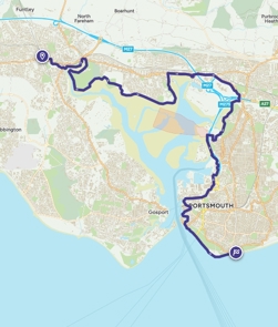
We are travelling down the West bank of Fareham creek which runs into Portsmouth harbour at Gosport. The main picture was taken from the Gosport side of Portsmouth Harbour. Once around Gosport. we then round onto the Solent Coast past Gilkicker point, along into Stokes bay, Lee-on-Solent and Hillhead before we head up the River Hamble to Warsash.
Royal Naval Air Station Lee-on-Solent, (RNAS Lee-on-Solent; or HMS Daedalus 1939–1959 & 1965–1996 and HMS Ariel 1959–1965), It was one of the primary shore airfields of the Fleet Air Arm and was first established as a seaplane base in 1917 during the First World War. The aerodrome being opened in 1934, it commissioned as HMS Daedalus on 24 May 1939.
Lee-on-the-Solent is the home to the Hovercraft Museum which houses the world's largest collection of rare hovercraft including some of the earliest and largest.
Between 1985 and 1990, Hill Head's beaches appeared in the BBC TV show Howards' Way, which was mostly filmed at nearby Bursledon, Hamble-le-Rice, Warsash and Swanwick.
8/3/2024 3:43:32 AM

Day 147/148 August 3rd and 4th : Rest days
Seen from the IOW. Impressively huge
Where am i now
We have had very warm sunny weather on the IOW and returned to the mainland from Ryde. Louis has developed a taste for doggy Ice-cream which was in plentiful supply here.
We are now taking the weekend to have some rest and set ourselves up for the walking the remainder of Hampshire next week. Thanks to all who supported us over the past 2000+ miles.
8/2/2024 4:34:32 AM
Day 146 August 2nd: Wotton bridge to Ryde

A hop skip and jump over to Ryde to catch the ferry back to Portsmouth today having completed the journey around the Isle of Wight. Back to the mainland and looking forward to continuing the journey across Hampshire.
Where am i now
Its been a heatwave for the Isle of Wight and the island is filling up with Holiday makers. We did get to see a wild red Squirrel while we were here. The island is full of contrasts and its easy to see why its so popular for families. A last note: Wotton's name is said to mean "Woodtown", which means a clearing in a forest, although other interpretations do exist. The first known mention of the town as "Odetone" or "Wootten" was in 1086, and the name has evolved and changed over time.
8/1/2024 6:25:53 AM
Day 145 August 1st: Yarmouth to Cowes and Wotton bridge


Where am i now
Today we will walk from Shalfleet though to Cowes and on into Wotton Bridge. Its been the hottest weather we have encountered since we set off in early March. We have been carrying plenty of water!
The name "Shalfleet" means "shallow stream". The stream in this case is the stream passing through the village, the Caul Bourne. It was recorded as "Aet Scealdan Fleote" in the 838. In 1086, in the Domesday Book, Shalfleet was called "Selceeflet".
The name Westcowe was attested in 1413 as the name of one of two sandbanks, on each side of the River Medina estuary, so-called after a supposed likeness to cows. The name was subsequently transferred to fortifications built during the reign of Henry VIII on the east and west banks of the river to dispel a French invasion.
The seaport at Cowes was the first stop on English soil before crossing the Atlantic Ocean with many ships loaded with German and Swiss passengers leaving from Rotterdam and going to the New World destination of Philadelphia, Pennsylvania. These passengers were going to become British subjects in Colonial America, and the English captains made a written record of the stop in Cowes.
The actor Jeremy Irons was born in Cowes as was Cliff Mitchelmore.
Wotton was the site of the 1969 Isle of Wight Festival which took place on 30 and 31 August at Woodside Bay. The event was one of the largest music festivals to that date, and had an estimated audience of some 150,000. The line-up included Bob Dylan, The Band, The Nice, The Pretty Things, Marsha Hunt, The Who, Third Ear Band, Bonzo Dog Doo-Dah Band, Fat Mattress and Joe Cocker.
7/30/2024 9:10:57 PM
Day 144 July 31st: Freshwater to Yarmouth

A scorcher yesterday. Louis enjoyed some ice cubes in his water to cool him down.

Where am i now
Yarmouth has been a settlement for over a thousand years, and is one of the earliest on the island. The first account of the settlement is in Æthelred the Unready's record of the Danegeld tax of 991, when it was called Eremue, meaning "muddy estuary". The Normans laid out the streets on a grid system, a plan which can still be seen today. It grew rapidly, being given its first charter as a town in 1135. The town became a parliamentary borough in the Middle Ages, and the Yarmouth constituency was represented by two members of Parliament until 1832.
Yarmouth Pier was opened in 1876. It received Grade 2 listed status in 1975. Originally 685 ft (207.5m) long, it's now 609 ft (186m) but is still the longest timber pier in England open to the public, and also a docking point for the MV Balmoral and PS Waverley.
7/29/2024 8:08:30 PM
Day 143 July 30th: Blackgang to Freshwater
Today we will be heading further west along the southern coast of the island. The picture below is of Ventnor Botanic gardens looking resplendent in the sunshine.

Where am i now
Brighstone history dates back to the 9th century when it was given to the Bishopric of Winchester by King Egbert. Brighstone was previously known as "Brixton". The name derives from the Saxon name "Ecgbert's Tun".
In 2021 a newly-identified species of dinosaur was named Brighstoneus simmondsi to reflect that its fossilised remains had been discovered at a nearby excavation site; it was discovered alongside another dinosaur, Neovenator salerii in 1978.
7/28/2024 8:33:33 PM
Day 142 July 29th: Sandown to Blackgang

Our route to Blackgang
It was very warm today and quite tough going. We were grateful for bit of shade.

We met a few friends on the way.

Where am i now
Shanklin is also the location where Charles Darwin wrote his Origin of Species during an 18-month-long visit to the town.
Blackgang is also notable for dinosaur fossils (see Dinosaurs of the Isle of Wight) and the nudist Blackgang Beach. Blackgang Chine is associated with the establishment of the amusement park at the chine of the same name.
There are twenty chines on the Isle of Wight, to which fascinating folklore is attached because of their history with local smuggling, fishing and shipwrecks. The popular tourist attraction of Shanklin Chine is also famous for its involvement in the Second World War, when it was used to carry one of the Operation Pluto pipelines and as training area for the 40 Royal Marine Commando battalion before the 1942 Dieppe Raid.
Blackgang was the birthplace of the actress and comedian Sheila Hancock.
7/28/2024 7:27:27 AM
Day 141 July 28th: Portsmouth/Ryde to Sandown

Yesterday saw us reach Portsmouth on a warm and sunny day. We passed by the site of the former Royal Marine barracks. The statue "The Yomper" based on a photograph of Royal Marine Corporal Peter Robinson, brings back images of 1982, an age to which we knew particularly having seen the fleet off in 1982 and known some that made the journey and came back.

Today looks very pleasant for a crossing to the IOW (Isle Of Wight). We will be arriving at Ryde and making our way east to Bembridge, along past Yaverland to our destination, the popular holiday resort of Sandown.
Where am i now
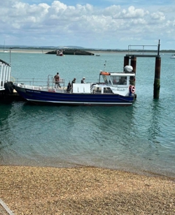
We are using the regular ferry service from the mainland The main picture shows us leaving port on a glorious day with calm sea. We will arrive at Ryde Pier Head railway station, a very long pier which is the fourth longest in the United Kingdom, and the oldest surviving.
Bembridge Windmill, the only remaining windmill on the Isle of Wight, is located to the west of the village. Dating from around 1700.
The town was known as “La Riche” or “La Rye” during the time of the Norman lords who occupied the Island. In 1377, during the reign of Richard Second, the French burnt it to the ground as part of the ongoing aggression associated with the Hundred Years War. Its most significant development took place in the 19th century, when the gentry followed Queen Victoria to the Island. Queen Victoria and the Prince Consort ceremonially laid the foundation stone of the original clubhouse of the Royal Victoria Yacht Club at Ryde on 2 March 1846. Unable to enter the Royal Yacht Squadron at Cowes, which was a male-only establishment, Queen Victoria effectively set up the Royal Victoria Yacht Club as a rival. Today, it is up for sale.
Situated on the South East coast of the Isle of Wight, there is some evidence of an Iron Age settlement in Sandown. During the Roman period salt was produced in the area.
Sandown has a rich military history due to its wide sandy beaches, which offered a perfect landing place for invasion. The coastline and Culver Cliff to the north of the esplanade are to this day dotted with forts and barricades which once provided protection against invading forces from the Continent.
In 1545 Henry VIII built a fort known as Sandown Castle. The site was was attacked during the French invasion of the Isle of Wight. Having been built into the sea it was demolished a few hundred years later due to erosion. Sandham Fort was built in 1631, further inland. This site was demolished in the mid-19th century and is located under what is now Sandham Grounds.
In the 1860s, five Palmerston Forts were built along the coast of the Bay. Two of these forts are still in existence at Yaverland, now the site of the Wildheart Animal Sanctuary.
7/27/2024 7:43:54 AM
Day 140 July 27th: Fareham to Portsmouth
Today we are walking along the Eastern side of Portsmouth harbour, from Fareham Creek all the way down to the main port and Naval base. William the conqueror took this route from Portsmouth on his way to Winchester, Today, we are doing it in reverse.

Where am i now
Fareham was historically an important manufacturer of bricks, used to build the Royal Albert Hall, and grower of strawberries and other seasonal fruits. The town has a documented history dating back to the Norman era, when a part of William's army marched up from Fareham Creek before continuing to the Saxon capital of England, Winchester. This is the route we are taking today in reverse.
Most of Portsmouth is located on Portsea Island, off the south coast of England in the Solent. This means Portsmouth is the only English city not located primarily on the mainland.
Portsmouth has the world's oldest dry dock, "The Great Stone Dock"; originally built in 1698, rebuilt in 1769 and presently known as "No.5 Dock. The world's first mass production line was established at the naval base's Block Mills which produced pulley blocks for the Royal Navy fleet. By the early-19th century, Portsmouth was the most heavily fortified city in the world, and was considered "the world's greatest naval port".
HMNB Portsmouth is an operational Royal Navy base and is home to two-thirds of the UK's surface fleet. Portsmouth Historic Dockyard has a collection of historic warships, including the Mary Rose, Lord Nelson's flagship, HMS Victory (the world's oldest naval ship still in commission), and HMS Warrior, the Royal Navy's first ironclad warship.
Henry V gathered his forces in Portsmouth for an invasion of France in 1415, it was while staying at Portchester Castle that the Southampton plot was uncovered. This campaign would culminate with victory at the battle of Agincourt.
Industrial Revolution engineer Isambard Kingdom Brunel was born in Portsmouth. James Callaghan, British prime minister from 1976 to 1979, was born and raised in Portsmouth.[433][434] Son of a Protestant Northern Irish petty officer in the Royal Navy, Callaghan was the only person to hold all four Great Offices of State: foreign secretary, home secretary, chancellor and prime minister.
Helen Duncan, the last person to be imprisoned under the 1735 Witchcraft Act, was arrested in Portsmouth.
7/25/2024 9:38:09 PM
Day 139 July 26th: Langstone Harbour, Hayling island, and Southsea

Raining a lot yesterday. Louis was glad to get into the dry in a local hostelry.

Where am i now
Hayling Island is a true island, surrounded by water. Looking at its north to south orientation, it is shaped like an inverted T, about 6.5 km (4 miles) long and 6.5 km (4 miles) wide. An Iron Age shrine in the north of Hayling Island was later developed into a Roman temple in the 1st century BC.
The grave of Princess Catherine Yurievskaya (1878–1959), a daughter of Alexander II of Russia, who lived in North Hayling for many years, is in St Peter's churchyard.
In May 1944, the island was the location of a mock invasion during the military Exercise Fabius, rehearsing the preparations for D-Day.
Peter Chilvers had been an engineer for Lotus and founded a sailing and windsurfing centre in London. Chilvers is credited with creating a crude sailing craft propelled by a free-sail system while living on Hayling Island in 1958. His craft was recognized as prior art in later court cases in England regarding sailboard patents and royalties.
Eastney Barracks were built as headquarters for the Royal Marine Artillery, who moved in during 1867.
Southsea adopted the name of nearby Southsea Castle, a seafront fort constructed in 1544 to help defend the Solent and approaches to Portsmouth Harbour.
Henry VIII visited Southsea Castle in 1545, from where he witnessed the sinking of the warship Mary Rose in the Solent. By the mid to late Victorian era, Southsea had become recognised as a largely middle-class neighbourhood, with many naval officers and other professionals taking up residence. During this time the writer Sir Arthur Conan Doyle lived in Portsmouth, moving to Southsea in June 1882 with less than £10. H.G Wells, Sir Arthur Conan Doyle and Charles Dickens all have lived in this area which gives it a rich literary legacy.
Born in Portsmouth, Dickens left school at age 12 to work in a boot-blacking factory when his father John was incarcerated in a debtors' prison. After three years, he returned to school before beginning his literary career as a journalist.
7/25/2024 5:41:31 AM
Day 138 July 25th: Bosham to Emsworth

Bosham to Emsworth via Thorney island
Yesterday was a good day for walking, the sands of Wittering were particular easy on the paws for Louis. Today, as we leave Thorney island which is in West Sussex, we will cross into the County of Hampshire close to Emsworth.
 .
.
Today we set off from the lovely Bosham, round the Nutbourne Channel and onto Thorney island. From there we round the island and travel along the Emsworth Channel coast until we reach Emsworth itself.
Where am i now
Bosham has a richer history than many might imagine.
The Bosham Head, part of the largest Roman statue from Britain was found nearby. A legionary's helmet was found in Bosham harbour and is now in Lewes museum. The helmet is of late Claudian date, the time of the invasion.
Bosham is mentioned by name in the Bayeux Tapestry, referring to the 1064 meeting of Harold and Edward the Confessor on the way to meet William of Normandy to discuss who would succeed Edward to the throne.
The Domesday Book of 1086 lists Bosham as one of the wealthiest manors in England.
The Holy Trinity Church is a historic building of some note. it has been in existence at least since Anglo-Saxon times.
Emsworth, In prehistoric and early historical times the River Ems was tidal as far as Westbourne and the Westbrook creek. In Roman times a villa existed to the south of the road to Noviomagus Reginorum in the fields of what is now Warblington Castle Farm. Archaeological finds show that the building was a sizeable brick and stone edifice, with floors paved with red brick and coloured sandstone and a view of the harbour and wooded shores of Hayling Island. The fertile landscape suggests the area to have been under continuous cultivation for 1500–1800 years. Saxons began settling the area after AD 500. Charters were granted by Kings Æthelstan and Æthelred in AD 935 and AD 980 establishing and confirming the boundaries of Warblington. From AD 980–1066 the manor was held by Godwin, Earl of Wessex and his son Harold Godwinson ( later to become King Harold).
Queen Victoria visited Emsworth in 1842, resulting in Queen Street and Victoria Road being named after her. During the Second World War, nearby Thorney Island was used as a Royal Air Force station, playing a role in defence in the Battle of Britain.
7/24/2024 7:05:22 AM
Day 137 July 24th: Selsey to West Wittering and Bosham

Selsey to West Wittering route today
We are off to the Wittering, east and west today. There are signs around encouraging care for the appears to be a lot of attention to the environment here which we can only applaud. It was such a good day that we went onto Bosham.
Where am i now
There has been a settlement at East Wittering for over a thousand years. The Witterings were included in a grant of land to Bishop Wilfrid in the late 7th century. The Witterings together with Sidlesham were rated as 36 hides at the time of Edward the Confessor
West Wittering was recorded in the Domesday Book of 1086 as comprising four households and a value of one pound.
This area is part of the Site of Special Scientific Interest Bracklesham Bay between the coastline in the parish.
Residents of West Wittering include notable stars of national treasures of the stage and screen. These include Kate Winslet and Nicholas Lyndhurst. Sir Henry Royce, engineer, designer of Rolls-Royce cars and aero-engines. From 1917 until his death in 1933.
7/23/2024 6:11:44 AM
Day 136 July 23nd: Bognor Regis to Selsey

We are continuing along the south coast of West Sussex. Its been a lot of walking on shingle beaches recently which can really slow down progress. We are expecting a somewhat drier and less windy day today although the forecast for Thursday looks rather wet so we will need our raincoats again.
Where am i now
It is believed that the name Selsey is derived from the Saxon Seals-ey and can be interpreted as the Isle of Sea Calves (sea calves are better known as seals). The earliest evidence of human habitation in the Selsey area goes back to the Stone Age.
In July 1588 the Spanish Armada arrived off the Isle of Wight with the intention of attacking Portsmouth. The wind changed direction to the south-west. Men from the Manhood Peninsula serving under Francis Drake conceived a plan to lure the Spanish fleet onto the Owers rocks (off Selsey). Apparently the Spanish recognised the danger and changed direction to Calais, France.
It is known that cricket has been played, in Selsey at least since 1647, although the earliest record for the Selsey Cricket Club was on 9 July 1834 when the team played Kingley Vale. Selsey won by 3 runs.
It has been predicted that by 2100 Selsey could be subject to permanent inundation by the Sea.
A few of many famous connections to Selsey
Eric Coates (1886–1957) – The composer lived and worked in Selsey. He was inspired to write By the Sleepy Lagoon after overlooking the sea towards Bognor Regis.[ His musical composition can be heard as the theme tune to Desert Island Discs on BBC Radio 4.
Air Commodore Edward 'Teddy' Mortlock Donaldson (1912–1992) who set a new world air speed record of 616 mph in September 1946, in the Star Meteor IV.
Sir Patrick Moore (1923–2012) – astronomer, writer, researcher, radio commentator and television presenter, lived in Selsey from 1968 until his death.
David Hewlett, (1968– ) British-born Canadian actor, writer, director and voice actor best known for his role as Dr. Rodney McKay on Stargate SG-1, Stargate Atlantis and Stargate Universe resided here for some time before he and his family later emigrated to Canada.
7/21/2024 8:18:45 PM
Day 135 July 22nd: Littlehampton to Bognor Regis

Where am i now
Bognor is one of the oldest recorded Anglo-Saxon place names in Sussex. In a document of AD 680, it is referred to as Bucgan ora meaning Bucge's (an Anglo-Saxon name) shore, or landing place. Regis, Latin for "of the king", occurs in numerous English place names.
The name usually recalls the historical ownership of lands or manors by the Crown. In other places it honours royal associations rather than ownership
The change of name from Bognor to Bognor Regis formally took effect on 26 July 1929. It was approved by King George V who took the air near there.
7/19/2024 8:28:06 PM
Day 133 and 134: Rest days in Littlehampton

We will be taking the weekend to rest up and enjoy some downtime. We are both in good spirits and health. We will be back on the path on Monday when our destination will be Bognor Regis.
Where am i now
The town is also the westernmost settlement of the 15th largest urban area in England and Wales, the Brighton/Worthing/Littlehampton conurbation, a region encompassing 474,485 people. To put that into context, the entire population of Dorset is around 381,000. As the eighteenth century progressed, the town developed from a fishing community to a holiday destination, with Lord Byron, Samuel Taylor Coleridge, Percy Bysshe Shelley and John Constable all believed to have spent time there.
7/18/2024 7:47:09 PM
Day 132 July 19th : Worthing to Littlehampton


Where am i now
A human settlement at Littlehampton can be traced back to prehistoric and Roman times
Littlehampton began to develop as a port as a result of constant silting of the River Arun, perhaps leading to the prefix of 'Little' being added to 'Hampton', in order to distinguish it from the larger Southampton further along the coast. The world headquarters of The Body Shop is situated towards the north of the town, and is a major employer in the area. Wicked Little Letters, a new film starring Olivia Colman, tells the story of a farcical and sinister scandal in a 1920s English seaside town. Historian Emily Cockayne refers to the Littlehampton poison pen letters, the case that provided the historical basis for 'Wicked Little Letters".
7/18/2024 6:26:43 AM
Day 131 July 18th : Brighton to Worthing

Brighton to Worthing path today
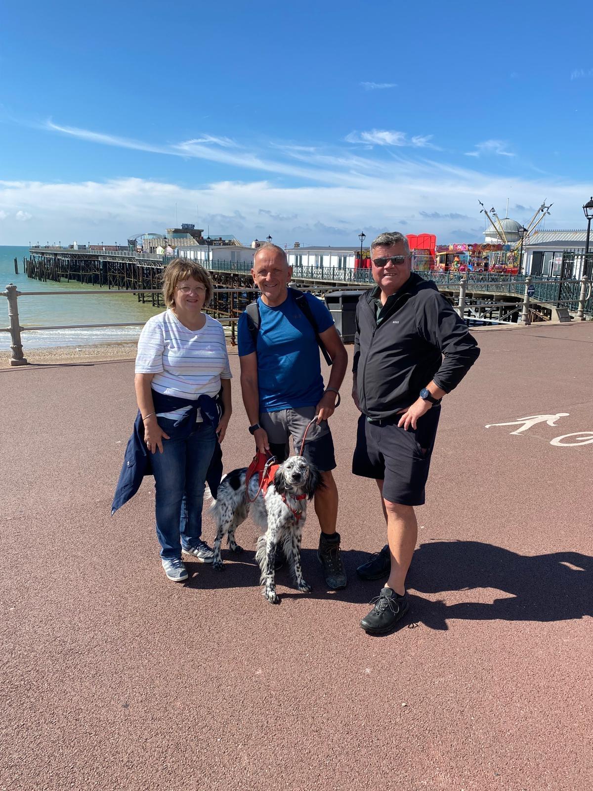
Lovely day yesterday when we were joined by Caroline from the charity Ovarian Cancer Action.
Where am i now
Todays walk takes us from Brighton Pier to Worthing. This is an area of the coast known from many years ago. Conditions are warming up but fortunately there are plenty of places to take on water along here,
People have always flocked to this area, in fact, the first settlement in the Brighton area was Whitehawk Camp, a Neolithic encampment on Whitehawk Hill which has been dated to between 3500 BC and 2700 BC. Its not all sweetness and light though. In December 2021, new data released by Shelter, revealed that "one in 78 people in Brighton and Hove are homeless" the third highest rate of homelessness in England. Having walked a lot of the coast of England now, Its clear that poverty has no geographic boundaries North, South, East or West.
There is a long and rich culture associated with Brighton.
The Royal Pavilion, a Grade I listed building, is a former royal palace built as a home for the Prince Regent during the early 19th century, under the direction of the architect John Nash. It is notable for its Indo-Saracenic architecture and Oriental interior.
Brighton (Rugby Football Club) (RFU) is one of the oldest rugby clubs in England, founded in 1868 before the RFU. They currently play in the Premier division of London and South-East RFU League. More famously, Brighton & Hove Albion F.C (Brighton) play in the English Premier league. In the 2022–23 season, Brighton finished sixth in the Premier League, their highest top flight finish ever, and qualified for the UEFA Europa League; their first participation in European club football.
Each May the city hosts the Brighton Festival and Brighton Fringe, the second largest arts festival in the UK (after Edinburgh).
In 1974, the city was host to the 19th Eurovision Song Contest on 6 April 1974, where ABBA won in the Brighton Dome with their song Waterloo.
A bit about Worthing. Dating from around 4000 BC, the flint mines at Cissbury and nearby Church Hill, Blackpatch and Harrow Hill are amongst the earliest Neolithic monuments in Britain.
Oscar Wilde holidayed in the town in 1893 and 1894, writing the Importance of Being Earnest during his second visit. The town was home to several literary figures in the 20th century, including Nobel prize-winner Harold Pinter. On 9 October 1934 violent confrontations took place in the town between protestors and Oswald Mosley's British Union of Fascists which subsequently became known as the Battle of South Street.
Worthing was home in the late 1960s to the Worthing Workshop, a group of artists and musicians who included Leo Sayer, Brian James of The Damned, Billy Idol and Steamhammer, whose guitarist, Martin Quittenton, went on to co-write Rod Stewart's UK number one hits "You Wear It Well" and "Maggie May".
Jane Austen, the author, lived at Stanford Cottage, Worthing, during the autumn of 1805. Her unfinished novel Sanditon (1817) is set in the early days of the development of Worthing as a resort.
7/16/2024 8:04:53 PM
Day 130 July 17th : Seaford to Hove

Where am i now
The above picture is us leaving Seaford. Alongside Brighton, Hove is one of the two main parts of the city of Brighton and Hove. The Droveway, The Drove and Preston Drove. The section called The Droveway, on which the Goldstone Waterworks was built in the 1860s, had to be maintained as a right of way when Hove Park was built. A long diagonal footpath once known as Dyer's Drove runs for several miles from Portslade-by-Sea on to the Downs, and Drove Road in Portslade village may have been used since Roman times. A well-known reply by residents of Hove, usually humorous, when asked if they live in Brighton is "Hove, actually" thus maintaining a distinction with their less genteel neighbour. Tradition has it that The Ship Inn was a favourite rendezvous for the smugglers, and in 1794 soldiers were billeted there. In 1818 there was a pitched battle on Hove beach between revenue men and smugglers, from which the latter emerged as the victors.
7/15/2024 8:11:40 PM
Day 129 July 16th :Eastbourne to Seaford


Where am i now
We will be heading to Seaford as our next target for the day
In the 16th century, the people of Seaford were known as the "cormorants" or "shags" because of their enthusiasm for looting ships wrecked in the bay.
No less than three former prime ministers came from Seaford, Henry Pelham represented the town from 1717 to 1722, William Pitt the Elder from 1747 to 1754 and George Canning in 1827. Furthermore, Sir Winston’s Churchill’s wife, Clementine, once lived in Seaford.
7/14/2024 9:05:55 PM
Day 128 July 15th :Bexhill on Sea to Eastbourne (1)

We are setting out to Eastbourne today. The forecast is not great this morning with heavy rain forecast. Full weather gear it is then.
Where am i now
The above picture was taken walking with Friends - great to see you Linda and Adam. Thanks for the company out of Hastings to Bexhill on Sea.
Eastbourne is immediately east of Beachy Head, the highest chalk sea cliff in Great Britain and part of the larger Eastbourne Downland Estate. Eastbourne holds the record for the highest recorded amount of sunshine in a month, 383 hours. According to the Met Office, Eastbourne is the sunniest place in the UK. Eastbourne has the only 5* seaside hotel in the UK, the Grand Hotel. Claude Debussy wrote “La Mer” while staying at the Grand Hotel in 1905.
Eastbourne was the most bombed seaside town in England during WWII. Bombers used to drop any bombs that they had left over Eastbourne before they returned to Germany. They used Beachy Head as their landmark. Nearly 4,000 bombs fell on the town.
Eastbourne has residents from a diverse range of international backgrounds, including notable groups of people from recent Polish, Portuguese, Chinese, Turkish, Italian and Greek origin.
There has been a particularly large number of famous Scientists, Explorers, Heros, Politicians and Comedians hailing from Eastbourne. To many to list but these is more information on the following wikipedia link for those that are interested: https://en.wikipedia.org/wiki/Eastbourne
Former students at the closed St Cyprian's School include George Orwell, Alaric Jacob, E. H. W. Meyerstein and Alan Hyman. Frederick Gowland Hopkins, biochemist and Nobel prizewinner, were born in Eastbourne
Going back further, Celtic people are believed to have settled on the Eastbourne Downland in 500 BC. Following the Norman conquest, the Hundred of what is now Eastbourne, was held by Robert, Count of Mortain, William the Conqueror's half brother.
7/14/2024 7:21:58 AM
Day 127 July 14th : Hastings to Bexhill on Sea

Hastings old town yesterday. A good day overall for walking with the odd shower to keep us guessing.

Where am i now
The main picture above is on the walk in to Hastings. Very green and pleasant for July. We are heading to Bexhill on Sea today. Not as long a walk as yesterday but we will be settling in to watch the European football match with England playing the favourites Spain. Whatever the result, make us proud lads.
The original town on the hill was chartered by King Offa in 772. He was King of Mercia.
King William 1 used the lands he had conquered to reward his knights and gave Bexhill manor to Robert, Count of Eu.
In 1561, Queen Elizabeth I took possession of Bexhill Manor and three years later she gave it to Sir Thomas Sackville, Earl of Dorset.
In 1804, soldiers of the King's German Legion were stationed in barracks at Bexhill. These were from the Hanover region of Germany occupied at the time by Napoleon.
In 1935 the De La Warr Pavilion, now a Grade I listed building and was built and opened. Championed by Herbrand Edward Dundonald Brassey Sackville who was The 9th Earl De la Warr who went on to become Bexhill's first socialist mayor. He died in 1976.
During the second world war the Pavilion was used as a defending army base and among those who served at the Pavilion during the War was Spike Milligan, later a noted comedian.
In 2009 the world's oldest spider web was found encased in amber in the town. It was 140 million years old.
7/13/2024 5:45:26 AM
Day 126 July 12th : Rye to Hastings

Yesterday was a 17 mile walk of which quite a bit was bounded by sea walls as we crossed the low level marshes of the area.
Louis was keen to scale the wall and get on the beach but we eventually made to the town of Rye as shown in the main picture.

Where am i now
We are making our way to Hastings today. Its a place known to every school child who learns English history. The town gives its name to the Battle of Hastings, which took place 8 mi (13 km) to the north-west at Senlac Hill in 1066. It marked the emd of the Saxon Kings and rise the Normans.
Today Hastings is a fishing port with the UK's largest beach-based fishing fleet.
Hastings has had a long list of notable residents including Harry H Corbett, an actor best known for his role as Harold Steptoe in the BBC sitcom Steptoe and Son, lived in Hastings up until his death in 1982.
Novelist Catherine Cookson lived in the town for many years and began her writing career when she joined the local writing group.
John Logie Baird lived in Hastings in the 1920s where he carried out experiments that led to the transmission of the first television.
Computer scientist Alan Turing, comedian Jo Brand, Madness singer Suggs and Tom Chaplin, best known as the lead singer of the English pop rock band Keane, was born in Hastings.
7/11/2024 8:44:53 PM
Day 125 July 12th : Dungeness to Rye

Dungeness to Rye
Dungeness has a unique landscape, almost desert-like in appearance.

Where am i now
An eclectic group of houses down here in Dungeness. There's wild brown hares here. We will pass by Lydd on our way to Rye. lying on Romney Marsh. It is one of the larger settlements on the marsh, and the most southerly town in Kent. Our destination is Rye which means we will leave Kent and cross into East Sussex. Rye today lies two miles (three kilometres) from the sea at the confluence of three rivers: the Rother, the Tillingham and the Brede. An important member of the mediaeval Cinque Ports confederation, it was at the head of an embayment of the English Channel, and almost entirely surrounded by the sea. Rye was considered one of the finest of the Cinque Ports, though constant work had to be done to stop the gradual silting up of the river and the harbour. the violent storms in the 13th century (particularly in 1250 and 1287) cut the town off from the sea, destroyed Old Winchelsea, and changed the course of the Rother. Then the sea and the river combined in about 1375 to destroy the eastern part of the town and ships began use the current area (the Strand) to unload their cargoes.
7/10/2024 9:12:33 PM
Day 124 July 11th: Hythe to Dungeness

Where am i now
The picture above is the Royal Military Canal which runs for 28 miles from Seabrook near Folkstone to Cliff end near Hastings. Built in 1804-1809 as defence during the Napoleonic wars against a French invasion.
We are heading for Dungeness today. Dungeness spans Dungeness Nuclear Power Station, the hamlet of Dungeness, and an ecological site at the same location. One of the most remarkable features of the site is an area known as "the patch" or, by anglers, as "the boil". The waste hot water from the Dungeness nuclear power stations is pumped into the sea through two outfall pipes, enriching the biological productivity of the sea bed and attracting seabirds from miles around. There have been seven lighthouses at Dungeness, five high and two low, with the fifth high one still fully operational today. We will be on the lookout for Prospect Cottage, formerly owned by the late artist and film director Derek Jarman. The cottage is painted black, with a poem, part of John Donne's "The Sunne Rising", written on one side in black lettering. We had to do a check on actual mileage to day and have brought this up to date.
7/9/2024 9:11:55 PM
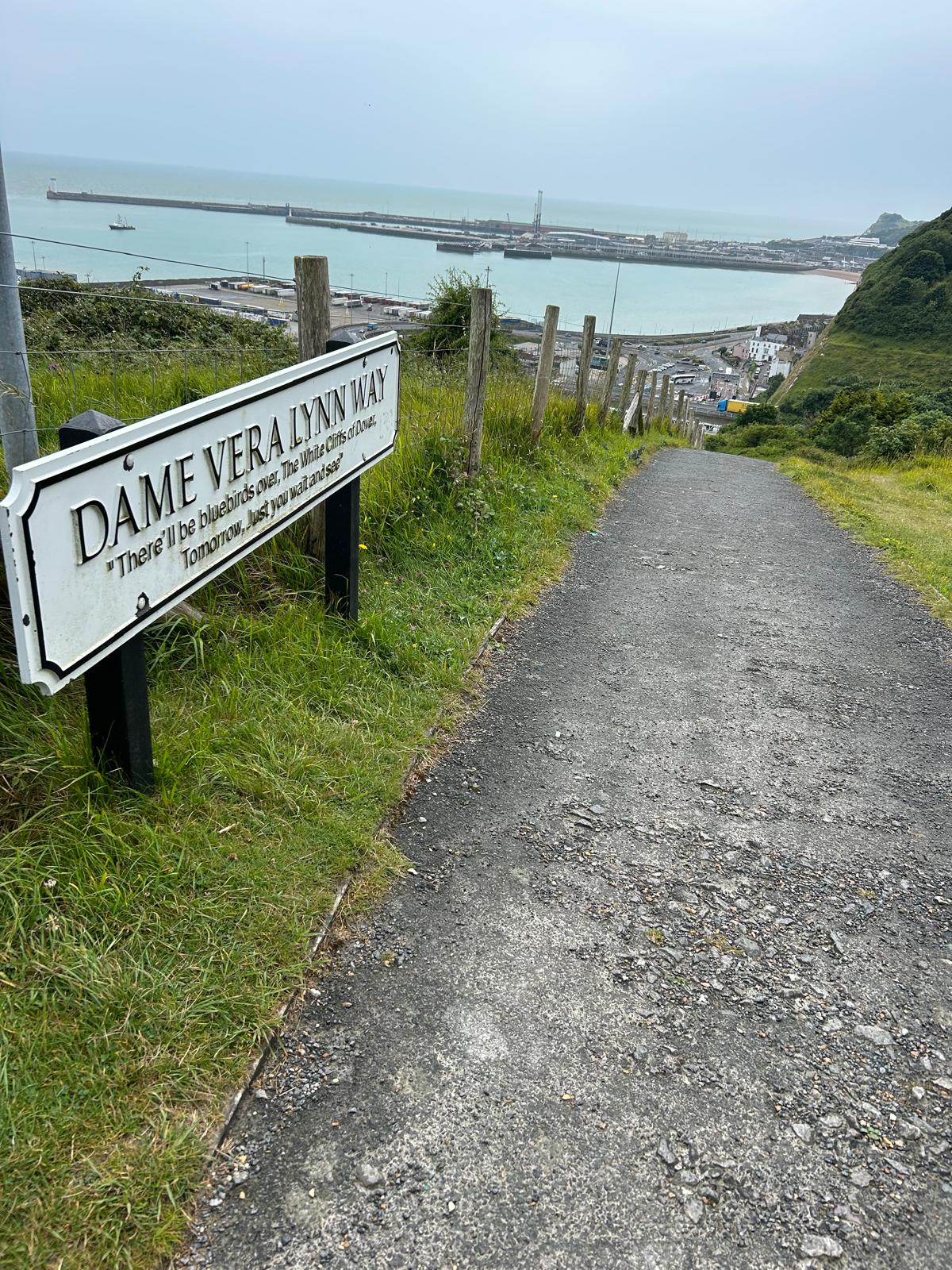
Day 123 July 10th: Dover to Hythe

The white cliffs of Dover yesterday


We head off To Hythe today passing through Folkstone
Where am i now
The picture above from yesterday approaching the Port of Dover along Dame Vera Lynn way who was an unforgettable national treasure to so many.
Folkstone is the next town along the coast and has an extremely rich history back to the Mesolithic period which was the final period of hunter-gatherer cultures in Europe ( middle stone age), We would recommend looking up Folkstone on the following link https://en.wikipedia.org/wiki/Folkestone.
Next we travel on to our final destination for the day to Hythe. Hythe, from Anglo-Saxon hȳð, may refer to a landing-place, port or haven. As an important Cinque Port, Hythe once possessed a bustling harbour which, over the course of 300 years, has now disappeared due to silting. Hythe was the central Cinque Port, sitting between Hastings and New Romney to the west and Dover and Sandwich to the east. It was also the home to Mackeson stout, though no longer brewed int he town, is still on the market.
7/8/2024 8:22:45 PM
Day 122 July 9th: Deal to Dover


Jon bucks "embracing the sea" statue at Deal yesterday
We head to Dover today. The map says we will be climbing about 1500 feet overall so more than of late.
Where am i now
Archaeological finds have revealed that the area has always been a focus for peoples entering and leaving Britain. The name derives from the River Dour that flows through it. In 1217 as part of the battle of Sandwich. Louis VIII of France landed his army, seeking to depose King Henry III, on Dover's mainland beach. Henry III ambushed Louis' army with approximately 400 bowmen atop The White Cliffs of Dover and his cavalry attacking the invaders on the beach. However, the French slaughtered the English cavalry and made their way up the cliffs to disperse the bowmen. Louis' army seized Dover village, forcing the English back to Canterbury. French control of Dover lasted for three months after which English troops pushed back, forcing the French to surrender and return home. When the campaign had begun, baronial enemies of the unpopular English king John had flocked to the French banner.
7/7/2024 8:40:06 PM
Day 121 July 8th: Sandwich to Deal

We had a lovely break in Canterbury this weekend and are ready to hit the coastal paths again. We head from Sandwich in Kent to Deal.


Where am i now
Deal became a 'limb port' of the Cinque Ports in 1278 and grew into the busiest port in England; today it is a seaside resort, its quaint streets and houses a reminder of its history along with many ancient buildings and monuments. In 1968, Middle Street was the first conservation area in Kent. The coast of France is approximately 25 miles (40 km) from the town and is visible on clear days. Deal was visited by Lord Nelson and was the first English soil on which James Cook set foot in 1771 on returning from his first voyage to Australia.
7/6/2024 7:32:32 AM

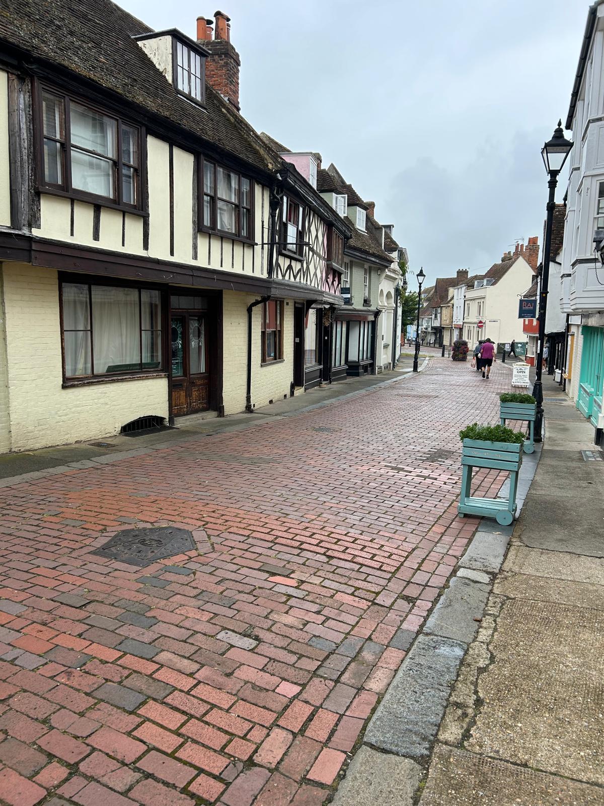
Day 119 & 120 July 6/7th: Canterbury
We would like to share our thanks to Darren, Laura and Kevin for organising a fantastic event for Nationwide employees. Supported by 76 people who took on the challenge of cycling either 35, 65 or 100 miles. What a great joint achievement for which we are truly grateful as collectively the team has raised a fantastic £8,358. Your efforts have been significant in helping us getting closer to our target as today we are standing at £34,238. On behalf of Louis, Nick (proud father of Darren) and the charity we thank you in making a difference.

Where am i now
We will be resting up in Canterbury this weekend. Its somewhere we have not been before and is recommended by many. Time to recharge our batteries.
Canterbury was known in Old Welsh as Cair Ceint ("stronghold of Kent"). Occupied by the Jutes, it became known in Old English as Cantwareburh ("stronghold of the Kentish men")
7/5/2024 7:23:32 AM
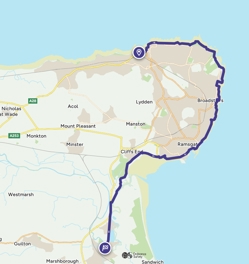
Day 118 July 5th: Margate to Sandwich
Our route today
The weather has turned somewhat so it will be wet weather gear this morning. Its something Louis is less keen on, He really prefers the cool dry weather where his sense of smell and ability to surprise with sudden movement (regularly and unexpectedly) can surprise his favourite things.
We are heading to Sandwich today passing through Broadstairs and Ramsgate
Where am i now
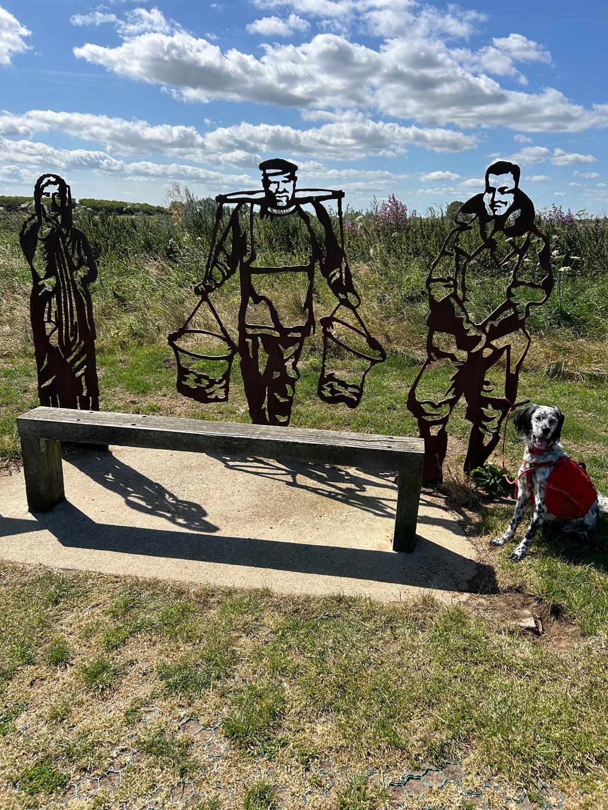
There is tremendous amount of history along this section of coast and we found the above statues on Margate seafront . Facing out to Sea are these depictions of the heroic Dam busters, Oyster pickers and Roman women, all part of the local heritage.
In 1028 King Canute (c. 995–1035) granted a charter to the monks of Christ Church, Canterbury, to operate a ferry across the river and collect tolls. In 1192, returning from the Third Crusade, Richard the Lionheart was jailed by the Holy Roman Emperor Henry VI. Henry released Richard in February 1194. On 13 March 1194, Richard landed at the port of Sandwich and came back to England. In 1216, Prince Louis of France landed at Sandwich in support of the First Barons' War against King John. The Battle of Sandwich occurred just off the coast in 1217 Sandwich was a key town in the early history of the Huguenots. In 1759, Thomas Paine (1737–1809) had his home and shop in a house at 20 New Street. He was one of the American founding fathers. He wrote Common Sense (1776) and The American Crisis (1776–1783), two of the most influential pamphlets at the start of the American Revolution,
John Montague was the 4th earl of Sandwich (but he was born in Chiswick) Apparently he was something of a gambler who ordered meat in two slices of bread so he could continue to play while eating. The others asked for the same as sandwich and its said that where the name comes from.
The Sandwich Islands is Captain James Cook's name for the Hawaiian Islands in 1778. He chose the name of his patron, the 4th Earl of Sandwich.
Ramsgate’s harbour was named “Royal” by King George IV in 1821, making it the only Royal Harbour in the UK. The town has significant historical importance, including the landing of the Anglo-Saxons in 449 AD and St. Augustine in 597 AD1.WWII Tunnels: Ramsgate has nearly 4 miles of underground tunnels used as air-raid shelters during WWII, capable of holding 60,000 people. A replica of the Viking ship ‘Hugin’ is on display at Pegwell Bay, commemorating the 1500th anniversary of the Anglo-Saxon invasion1.
7/3/2024 5:26:20 PM
Day 117 July 4th: Herne Bay to Margate

Todays Herne Bay to Margate coast path route
Today we head for Margate. "Margate" was the title of a UK single released by Chas and Dave in 1982. Londoners have been coming to Margate sands for over 250 years
Very pleasant day yesterday walking around this area of Kent coastline. We saw a lot of oyster shells and even an oyster tour. Good to know this is still going since at least Roman times.


Oyster tour and Shell beach yesterday
Where am i now
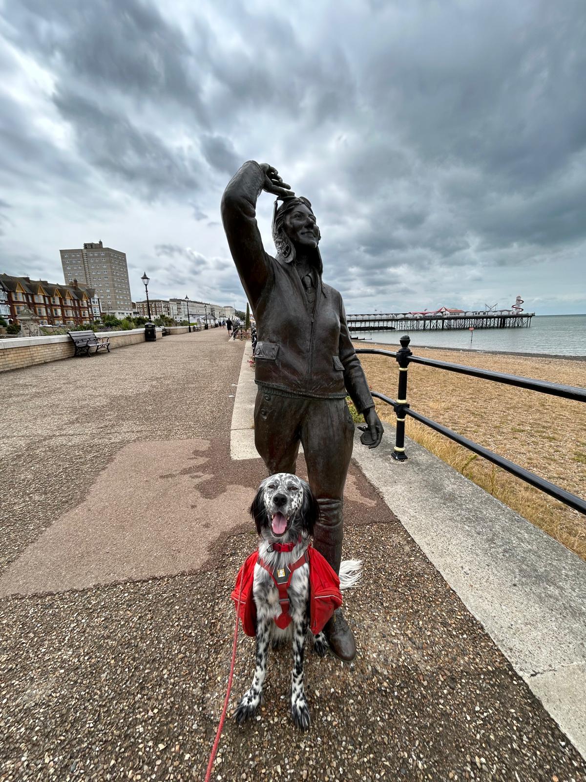
The above is a bronze Statue to honour English aviator Amy Johnson ( no relative) close to where she was last seen alive. Ms Johnson was the first woman to fly solo from England to Australia in 1930. Louis proudly stood to attention for his picture! She died when her plane crashed into the Thames Estuary near Herne Bay in January 1941. Margate gives its name to the relatively unknown Battle of Margate. Margate town has been a significant maritime port since the Middle Ages, and was associated with Dover as part of the Cinque Ports in the 15th century. First discovered in 1798, the Margate Caves (also known as the Vortigern Caves) are situated at the bottom of Northdown Road. They reopened in 2019. The Libertines recorded their 2024 album All Quiet on the Eastern Esplanade in The Albion Rooms in Cliftonville, the Hotel, Bar and recording studio that the band owns.
7/2/2024 6:49:09 PM
Day 116 July 3rd: Faversham to Herne Bay

Faversham to Herne bay by coast paths
Today we travel to Herne Bay after a good night in Faversham Louis is raring to go. These long walks seem to be no object to him and he's having a ball. Continual sea walls have been a trial of late but we press on passing though Whitstable on our route to Herne Bay.
Where am i now
Archaeological finds indicate that the Whitstable area was inhabited during the Palaeolithic era, the Bronze Age and the Iron Age. Oysters were harvested in the area in Roman times On 3 May 1830, the world's first entirely steam-hauled passenger and freight railway service was opened by the Canterbury and Whitstable Railway Company
Herne Bay's seafront is home to the world's first freestanding purpose-built Clock Tower, built in 1837. From the late Victorian period until 1978, the town had the second-longest pier in the United Kingdom.
The actor and presenter Bob Holness lived in the town as a child and attended Herne Bay Primary School until moving to Ashford. Nicki Chapman, the judge on the UK television series Popstars and Pop Idol, amongst many other shows was born and raised in the town.
7/1/2024 6:04:09 PM
Day 115 July 2nd: Sittingbourne to Faversham

North Kent coast to Faversham via Sittingbourne
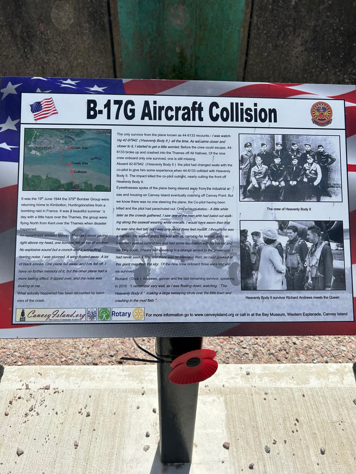
Yesterday we Went around Canvey island and this memorial stands in remembrance to the crews of two American bomber planes that crashed in the area avoiding people and houses. For more information go to wwwcanveyisland.org.

Above a view of down the Thames estuary out to the North Sea
Today we head along the Thames estuary on the southern side into Kent taking in Sittingbourne and ending in Faversham. This covers around 17.5 miles.
Where am i now
Sittingbourne was well placed between London and Canterbury being 17 miles from Canterbury and 45 miles from London, beside the Roman Watling Street, an ancient British trackway used by the Romans and the Anglo-Saxons. There is evidence of settlement in the area before 2000 BC, with farming and trading tribes living inland to avoid attack but still close enough to access the sea at Milton Creek. For those who love motorbike racing, Shane Byrne, 6 times British Superbike Champion comes from this area.
Faversham has been noted for its firework manufacturing but the history goes back well before then. A gunpowder plant had been established around 1573 in Faversham. The town had a stream which could be dammed at intervals to provide power for watermills. It became known as the Home Works in the 18th century and was nationalised in 1759. There is a huge wealth of information about the town on https://en.wikipedia.org/wiki/Faversham. Thanks Celia.
6/30/2024 9:11:02 PM
Day 114 July 1st: Canvey island round trip

Our route around Canvey Island
We have been hitting some big mileages lately and tonight Louis is tucked up on the bed after a good meal. He has left a bit of room for me though. good job because he doesn't look like he wants to shift


We will walk around the coastline of Canvey Island today which completes our walk on the north bank of the Thames and leaves us to cross to the south bank into Kent
Where am i now
The settlement and agricultural development of Essex by the Saxons from the 5th century saw the introduction of sheep farming, which would dominate the island's industry until the 20th century. After the Norman conquest the area of Canvey was recorded in the Domesday Book as a sheep-farming pasture under the control of nine parishes across south inland and coastal Essex; During Edward II's reign (1307–1327) the land was under the possession of John de Apeton and the first attempts were made at managing the effects of the sea with rudimentary defences, but periodical flooding continued to blight the small population of mostly shepherds and their fat-tailed variety of sheep for a further 300 years.
The island suffered extensive flooding in 1731, 1736, 1791, 1881 and 1897, and on 1 February 1953, the infamous North Sea Flood hit the island during the night and caused the deaths of 58 people. Many of the victims were in the holiday bungalows of the eastern Newlands estate and perished as the water reached ceiling level.
6/29/2024 9:10:54 PM
Day 113 June 30th: Shoeburyness to Benfleet

Today marks a milestone in that we have reached 50% of our target. Thanks to all. It is appreciated!
Todays route takes along the seafront of Southend with its 1.34 mile pier jutting out into the Thames Estuary. Maybe we will take that it today too.
We will then follow the north bank of the Thames inland to Benfleet. Those pesky brambles are still in abundance along the way but we have made good progress and the weather has cooled down. The forecast is for better walking weather and the shorter 12 miles or so trek today is a little shorter than some of late.

Acoustic mirrors or “listening ears” developed to provide early warning for incoming enemy airplanes in WW2 are still standing along this coast.

Sir David.
Where am i now
The history of Southend is relatively short compared to our destination, Benfleet. Southend was first recorded in 1309 as Stratende, a small piece of land in the Manor of Milton (now known as Westcliff-on-Sea), within the Parish of Prittlewell. In March 1665, the British naval ship, The London, blew up while moored just of South-end on its was to fight in the Second Anglo-Dutch War. Southend was in Jane Austen's novel Emma of 1815. The resort first received Royal patronage in 1801 when Princess Charlotte of Wales visited to sea bathe on the order of her physician. The royal connection boosted the town's popularity. Lord Mayor of the City of London Sir William Heygate, campaigned in the early 1820s to gain permission from parliament to build a pier. The Southend Pier Railway, opened in the early 1890s, was the first pier railway in the country. Investment continued on and off and enabled development of a lot of what is seen today. The Town became a City Southend was granted city status by letters patent dated 26 January 2022. On 1 March 2022, the letters patent were presented to Southend Borough Council by Charles, Prince of Wales This was instigated in memory of Sir David Amess whose passionate determination to secure city status for Southend was realised. Today, Southend has around 6.4 million tourists per year.
The Battle of Benfleet took place between the Saxons and Danish Vikings in 894. This was towards the end of the Saxon period, and the Thames and other waterways made the area vulnerable to Viking attacks. Benfleet was used as a Viking base. However, the Vikings were defeated in the battle by the army of King Alfred under the command of his son Edward the Elder and his son-in-law Earl Aethelred of Mercia. Subsequently, a church was built by the Saxons in thanksgiving for the victory over the Vikings.
6/29/2024 7:36:35 AM
Day 112 June 29th: Rochford to Shoeburyness

Our route today 108 June 29th: Rochford to Shoeburyness
Todays route takes us to Shoeburyness following the south bank of the River Roach and heading down to our first look at the North Bank of the River Thames. There are a lot of sea defences all along the coastline which can be quite overgrown in places and tough to traverse with long grass indispersed with patches short thorny blackberry scrub. Challenging in shorts for me and for Louis's furry paws.

Where am i now
The first record of occupation in Shoeburyness (often referred to as Shoebury) has been found from the Mesolithic period, with Neolithic and Bronze Age. Stone tools and Beaker pottery having also been discovered. The area has seen control by the Romans, Iceni, Danes, Angles and Saxons.
The Angles were one of the main Germanic peoples who settled in Great Britain in the post-Roman period. They founded several kingdoms of the Heptarchy in Anglo-Saxon England. Their name, which derives from the Angeln peninsula, is the root of the name England.
The southern area of Shoebury was prone to flooding and Marsh fever, and in 1530 the parish had to sell St Andrew's bells to pay for repairs to the sea defences.
MoD Shoeburyness is a military installation at Pig's Bay near Shoeburyness dating back to 1849 In the wake of the Crimean War, the Royal Artillery School of Gunnery was established at Shoeburyness in 1859.Pig's Bay is the coastal area in the east of Shoeburyness. The main entrance to the site is at Blackgate Road, Shoeburyness. This is also the gateway to the island of Foulness, the third largest island off the coast of England
6/27/2024 4:47:52 PM
Day 111 June 28th: Burnham On Crouch to Rochford (2)

Our route to day Day 107 June 28th: Burnham On Crouch to Rochford
Another long trek today heading out to Rochford at 19.5 miles. We are doing fine and i can recommend the local Indian cuisine which we thoroughly enjoyed the other day..
The historic Thames barges were fascinating at Malden, there was a distinct lack of water there yesterday and also the new vegan paths were a little hard to follow.


Where am i now
The town is the main settlement in the Rochford district, and takes its name from Rochefort, Old English for "Ford of the Hunting Dogs".
In WW11, RAF Rochford was a satellite station for RAF Hornchurch and was primarily a fighter base, home mainly to Supermarine Spitfire and Hawker Hurricane aircraft.
Musician Jamie Cullum, born in Rochford is an English jazz-pop singer, pianist, songwriter and radio presenter. He played for Queen Elizabeth II at her Birthday Party music concert held at the Royal Albert Hall in London on 21 April 2018 to celebrate the 92nd birthday.
6/27/2024 5:49:37 AM
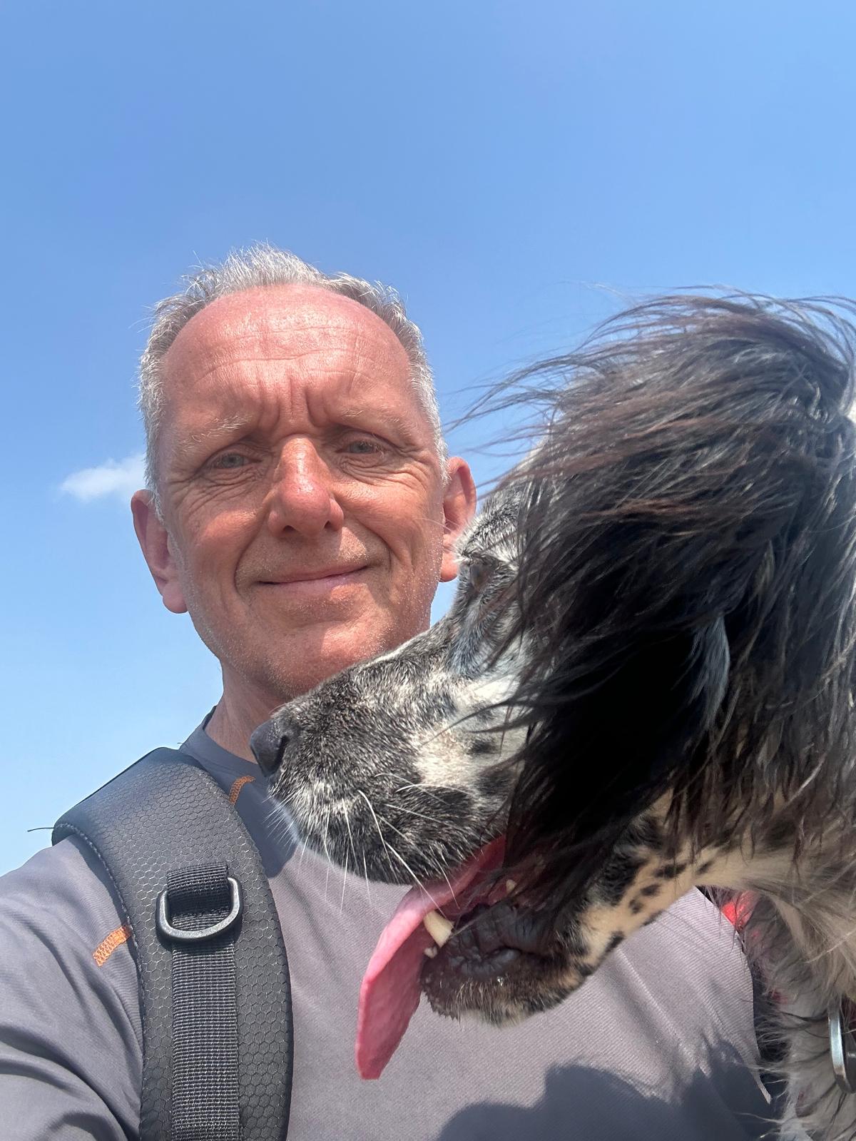
Day 110 June 27th: Bradwell Waterside to Maldon

Today we tackle the River Blackwater Estuary's south bank to complete this coast We will head from Bradwell to Malden. Looks like the weather will be much cooler today around 24c from yesterday 29c. We took every opportunity to cool off. There wasn't many places to grab a bit of shade but we did find a very obliging garage owner who lent the use of his water hose which Louis and I appreciated.


Where am i now
The south bank of the River Blackwater is our and Malden is the key town It was one of the only two towns in Essex (Colchester was the other),[clarification needed] and King Edward the Elder is thought to have lived here while combating the Danish settlers who had overrun North Essex and parts of East Anglia.
Maldon Sea Salt has been produced in the town since 1882 by the Maldon Crystal Salt Company; it is also the location of the first Tesco store to be designated as a "supermarket" in the country, established in 1958.
Of note is Osea Island, an inhabited island in the estuary of the River Blackwater, Essex, East England. It is approximately 380 acres. The entire island is owned by music producer Nigel Frieda. There is a substantial Music studio there and according to the East Anglian Times, It was revealed in 2019 that Bajan singer Rihanna rented the island to record her upcoming album.
6/26/2024 6:14:13 AM
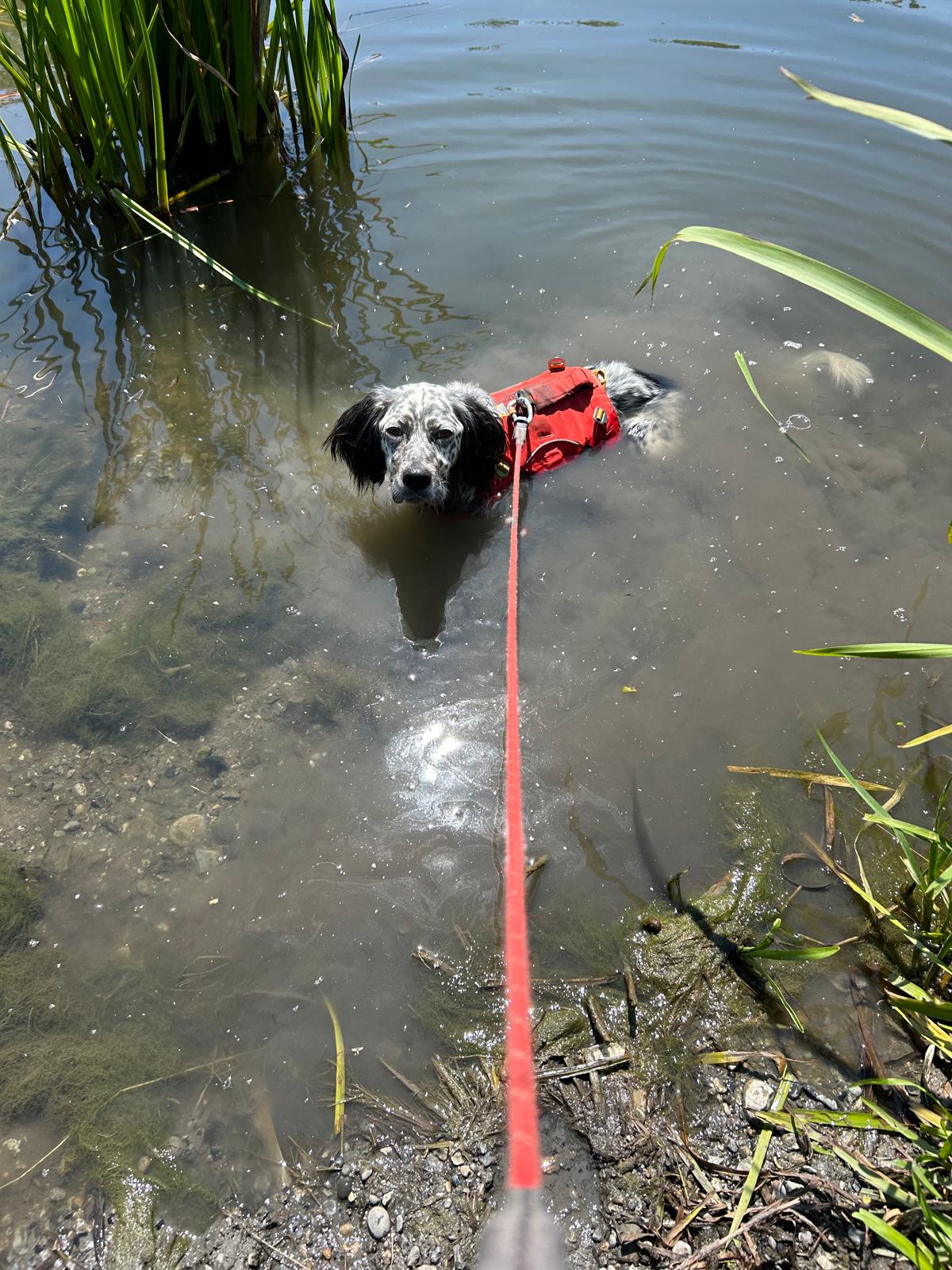
Day 109 June 26th: Bradwell Waterside to Burnham on Crouch

Our route, Bradwell Waterside to Burnham on Crouch.


Yesterday was a real scorcher. There was little shade so we got through quite a bit of water. Louis decided to have a real cool off.. What we didn't bank on was... the SMELL when he dried off! Good job we could shower him off with fresh water later. Looks like today will be equally challenging. We. carry 6 litres of water with us and glad of it
Where am i now
We start today at the small hamlet of Bradwell Waterside which is on the Blackwater Estuary on the northern edge of the Dengie peninsula. Our destination today of Burnham on Crouch which means we traverse from the River Blackwater estuary to the River Crouch estuary following the shoreline.This is a journey of around 17 miles.
Burnham-on-Crouch, according to the Domesday Book of 1086, Burnham was held in 1066 by an aristocrat called Alward and 10 free men. After 1066 it was acquired by a Norman called Tedric Pointel of Coggeshall whose overlord was Ralph Baynard. Burnham was the training base for one of the first Commando battalions, led by Lt-Col Dunford-Slater. Burnham played a significant role in both world wars, defending against zeppelin attacks in WW1 and in WW2, with Commando's and Royal Navy bases here.
On the last Saturday of September, the town holds its Illuminated Carnival, which was held for the 100th year in 2008. The carnival takes place on the High Street and Quay with stalls, sideshows and displays, and culminates with a grand illuminated procession in the evening,
6/25/2024 6:37:52 AM
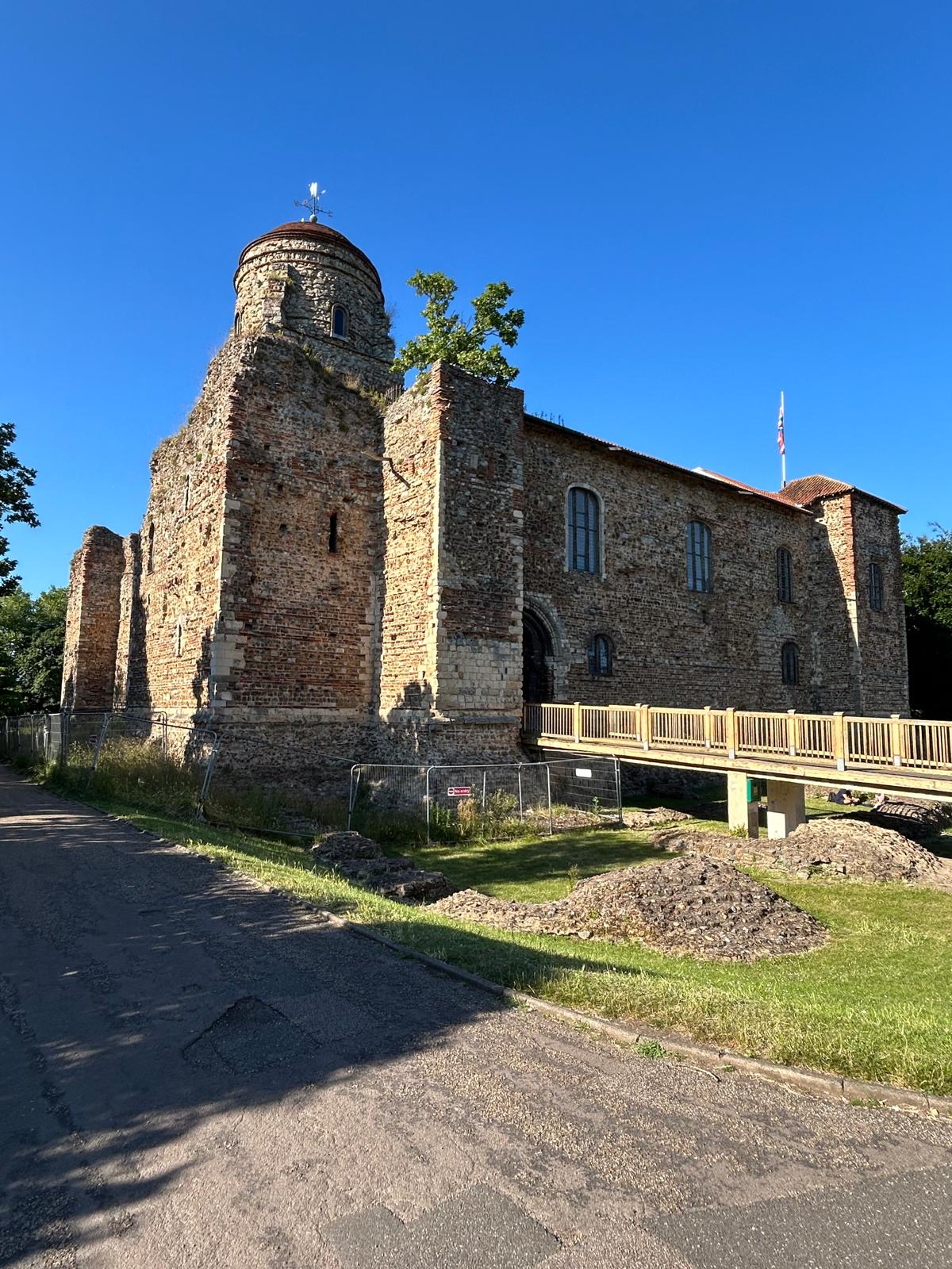
Day 108 June 25rd: Salcott to Heybridge

Today will be the hottest (28c to 30c forecast) we have faced since we started this journey. We will travel 22 miles keeping to any shade we can find and making sure that Louis stays as cool as we can. We expect the sea breezes and cold sea will help us and the old fella may even get his feet wet and join Louis in a dip.
We stayed overnight in Colchester and bought an additional rucksack to carry extra water today. This City is full of history and one of the major long term cities in England. Formerly know as Camulodunum by the Romans, we have added a few snippets of history in the section below.
Where am i now
We will be travelling from Salcott to Heybridge today. These are 2 historical villages along this shifting estuary and coastline. Both were affected by the the Colchester earthquake, also known as the Great English earthquake, occurred on the morning of 22 April 1884 at 09:18. It caused considerable damage in Colchester and the surrounding villages in Essex. In terms of overall destruction caused it is certainly the most destructive earthquake to have hit the United Kingdom in at least the last 400 years, since the Dover Straits earthquake of 1580.
Colchester occupies the site of Camulodunum, the first major city in Roman Britain and its first capital predating Iodonium which later became Capital as it is today. Colchester is surrounded by Neolithic and Bronze Age monuments that pre-date the town, including a Neolithic henge at Tendring, large Bronze Age barrow cemeteries at Dedham and Langham, and a larger example which we passed at Brightlingsea consisting of of 22 barrows.
6/24/2024 5:07:14 AM
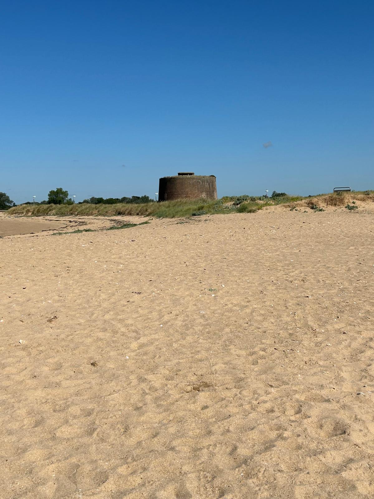
Day 107 June 24rd: Brightlingsea to West Mersea


Cooling off... Lovely in here!
Today we set off from Brightlingsea ( A branch of Sandwich, one of the Cinque ports). We will catch the ferry over to the island of Mersea The island has been inhabited since pre-Roman times. It was used as a holiday destination in Roman Britain for occupants of Camulodunum (Colchester).
Where am i now
Yesterday was glorious weather and Jaywick and In our humble opinion, has one of the best sea views on this section of coast.
Since we have seen many Martello Towers along this stretch of coast, we thought we would add some information about them. Martello towers were inspired by a round fortress, part of a larger Genoese defence system, at Mortella (Myrtle) Point in Corsica. The designer was Giovan Giacomo Paleari Fratino (el Fratin), and the tower was completed in 1565. So successful was the design that the British built many around around the coast to defend against the threat posed by the French (and Dutch alliance).
Between 1804 and 1812 a total of 103 Martello towers were built in England, set at regular intervals along the coast from Seaford, Sussex, to Aldeburgh, Suffolk. Most were constructed under the direction of a General William Twiss.
Forty-seven Martello towers have survived in England, a few of which have been restored and transformed into museums (e.g., the towers at St Osyth and Seaford), visitor centres, and galleries (such as Jaywick Martello Tower).
6/23/2024 6:24:16 AM
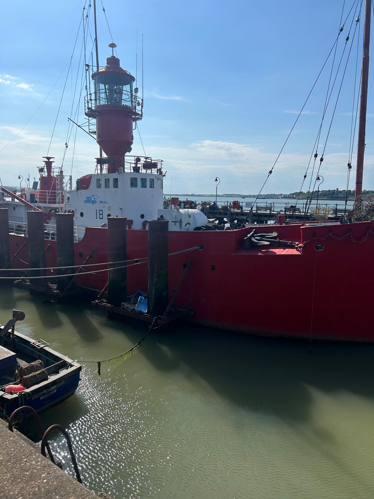
Day 106 June 23rd: Clacton On Sea to Lee over Sand and back


We are off on a round trip of the area today to work on the plans for crossing the many estuaries and marshes that from this part of the English coastline. Logistically, this is probably the most complex part of the whole English coast walk.
Where am i now
The picture above is to do with "Radio Caroline" and was used in the film "The ship that rocked". I remember the original but apparently there have 5 different ships used that were owned by three different people.
Or round walk will take in Seawick and the better known Jaywick which has featured on UK Television and a unique place.
In 2010, Jaywick was assessed as the most deprived area in England. In September 2015, it was again named as the most deprived, according to the indices of deprivation based on several factors including: poverty, crime, education and skill levels, unemployment and housing, after being assessed in 2012–13.
That was 10 years ago and the good news is that there is finally a regeneration plan that will make a substantial investment in the area. See the Link to the BBC article.
6/22/2024 5:07:30 AM
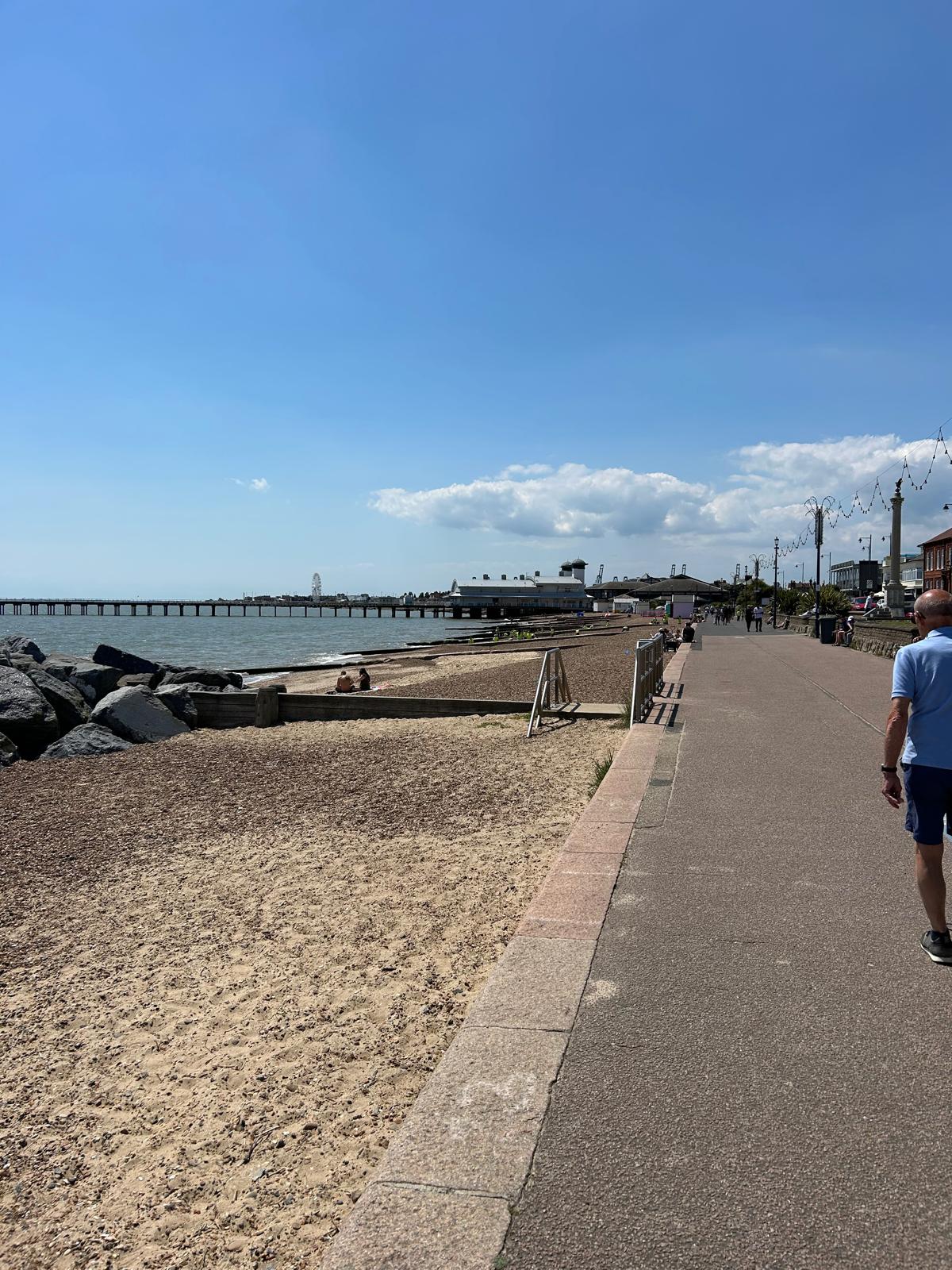
Day 105 June 22nd: Felixstowe to Walton In The Naze to Clacton On Sea
Today is split into 2 parts. From Felixstowe over to Harwich and a mile or two over there followed by the afternoon from Walton On The Naze to Clackton On Sea.
:Part 1 Felixstowe to Harwich
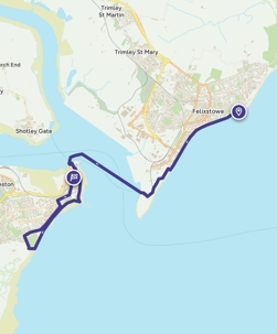
Part 2 Walton on the Naze to Clacton on Sea
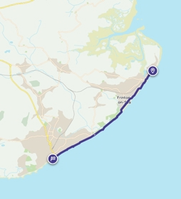
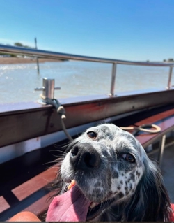
Where am i now
As we leave Felixstowe today and the county of Suffolk. we depart in fine spirit. The weather was fine and it turned out to be a great fundraising day. Thank you all so much.
We will be taking a few trips across the water today and entering the county of Essex.
We head for Walton on the Naze (where the Naze refers to a peninsula north of the town). It is important for migrating birds and has a small nature reserve. Originally, Walton was a farming village situated miles inland. Over the centuries a large extent of land has been lost to the sea due to coastal erosion. The site of the medieval village of Walton now lies nine miles out to sea; its old church finally succumbed in 1798. Its last service was held on 22 July 1798. This loss of land to the sea is recorded on a Canon's stall in St Paul's Cathedral with the inscription Consumpta per Mare.
Our final destination is Clacton On Sea. which came about with the Anglo-Saxon migration and the foundation of the kingdom of Essex. They created a village called Claccingtun ("the village of Clacc's or Clacca's people") Though History goes way before that to when it was a site of the lower Palaeolithic Clactonian industry of flint tool manufacture.[ The "Clacton Spear", a wooden (yew) spear found at Clacton in 1911 and dated at 450,000 years ago, is the oldest such spear to have been found in Britain.
Louis is more interested in Clacton sausages and the old fella will be looking for nice evening meal and a comfy bed.
6/20/2024 7:59:25 PM
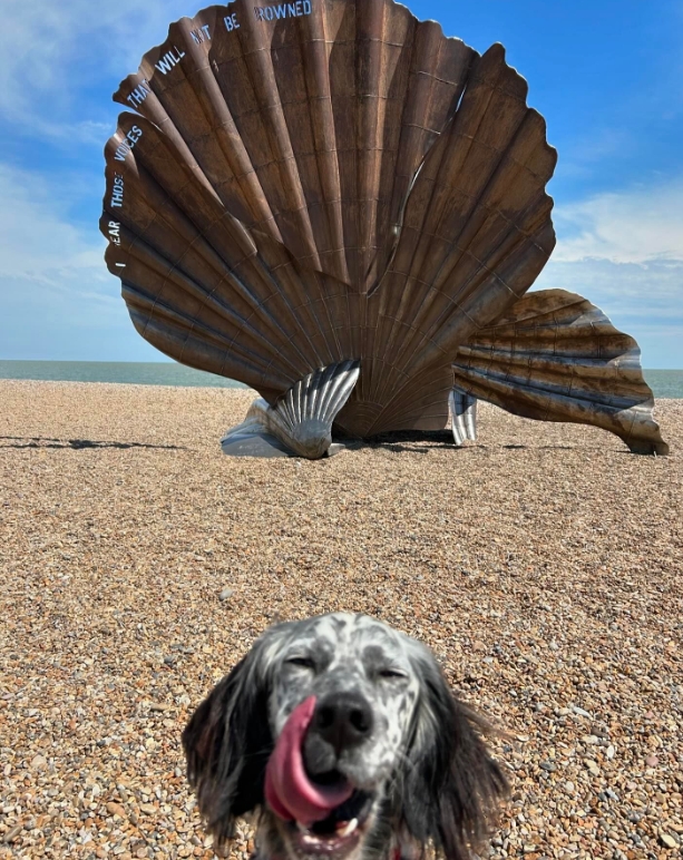
Day 104 June 21st: Aldeburgh to Felixstowe
Today is Our 104th Day since we started. Summer Solstice too! We will remember that for the trivia quiz later.

Our route today
Louis. Please stop your old fella falling over though.! Thanks Lesley
Where am i now
Well after a very warm morning and afternoon, we made the 14 miles to Aldeburgh. Louis was feeling the heat but he managed to cool his paws off in the sea and had a regular drink of water. Tomorrow looks even warmer and we have a long hike to Felixstowe in the region of 20 miles so we will be vary careful, leave early and keep to the shade where we can.
The Port of Felixstowe is the largest container port in the United Kingdom.
Radio Caroline ship MV Caroline was outside the three-mile limit at Easter 1964. It was the very first UK radio station aboard a ship in the North Sea, and intended to break the monopoly of the BBC.
in 1667 when Dutch soldiers landed near the Fludyers area and tried (unsuccessfully) in the Battle of Landguard Fort to capture Landguard Fort due to strategic location.
6/20/2024 6:46:12 AM
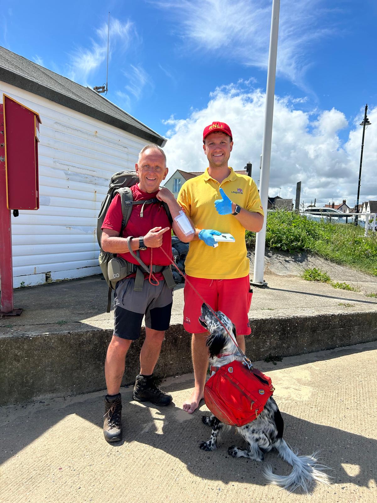
Day 103 June 20th: Walberswick to Aldeburgh

Yesterday we passed through Lowestoft and in particular passed Ness point. The most easterly place in Britain.
 .
.
Where am i now
We are heading to Aldeburgh today which is named after the river Alde. Historically Aldeburgh was a major port but as with many ports along this coast, they silted up allowing only smaller boats to dock and the trade move elsewhere. There have been many famous residents of Aldeburgh, on of the most famous was Benjamin Britten who was buried in Aldeburgh,
On Aldeburgh's beach, a short distance north of the town centre, stands a sculpture called Scallop, dedicated to Benjamin Britten, who would walk along the beach in the afternoons. Created from stainless steel by the Suffolk-based artist Maggi Hambling, it stands 15 feet high, and was unveiled in November 2003.
We will also be passing the area of Dunwich. There are more than 300 settlements in the North Sea basin that have been lost over the last 900 years due to coastal erosion or flooding. Dunwich, however, was the largest of the lost towns. There is also a film of the same name written by HP Lovecraft, He was born in Providence, Rhode Island, Lovecraft spent most of his life in New England so we can be confident that the Dunwich Horror was not based do the old English village in Suffolk.
6/18/2024 9:37:14 PM
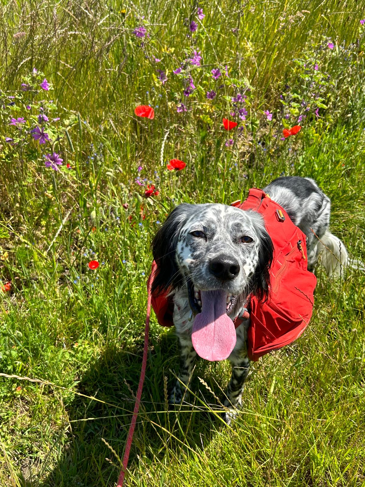
Day 102 June 19th: Kessingland to Walberswick
A hot day taking in all the sights, sounds and smells. Thinking of home and days past as the poppies were a favourite of Lisa.

Where am i now
Artist and architect Charles Rennie Mackintosh made Walberswick his home for a year. We will be catching the ferry over the River Blyth from Southwold to Walberswick. Coastal erosion and the shifting of the mouth of the River Blyth caused the neighbouring town of Dunwich, 3 miles (4.8 km) to the south, to be lost as a port in the last years of the 13th century. Following a brief period of rivalry and dispute with Dunwich, Walberswick became a major trading port from the 13th century until World War I
6/17/2024 9:18:21 PM
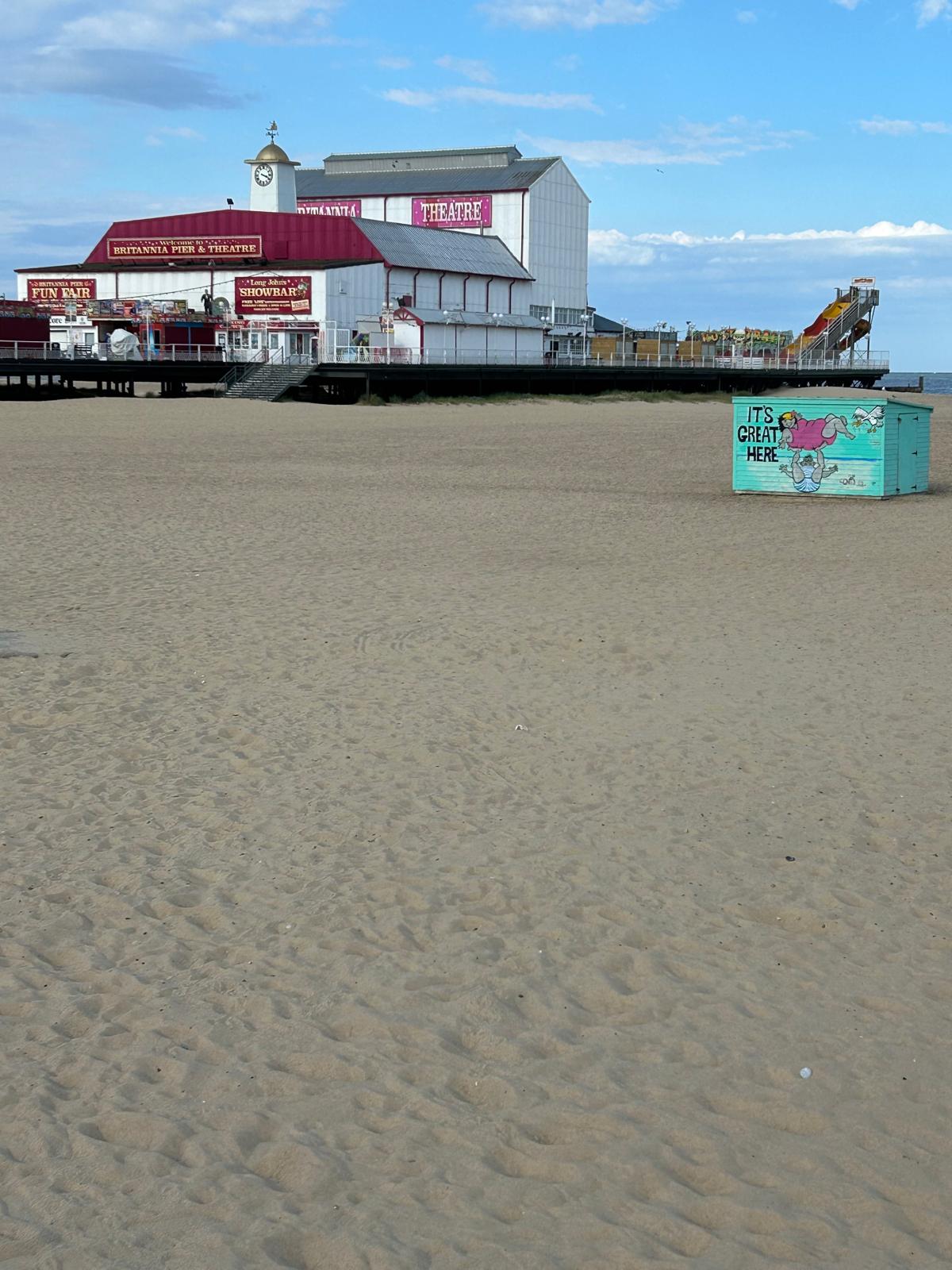
Day 101 June 18th: Great Yarmouth to Kessingland


Where am i now
We wil be leaving Great Yarmouth and Norfolk by heading to Kessingland Suffolk. This town is lessor known than Lowestoft these days but has a significant history.
There has been a settlement here since Palaeolithic times. Between the Hundred River and Latmer Dam was once a large estuary which was used by the Vikings and Romans.. The sea provided the village with its main livelihood, and at one time the village paid a rent of 22,000 herrings to their Lords, which then made it more important than nearby Lowestoft.
6/16/2024 4:32:12 PM
Day 100 June 17th: Waxham to Great Yarmouth
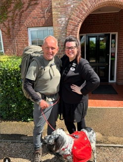

Great Yarmouth will be our last major Town in Norfolk before we cross into Suffolk around Hopton on Sea.
Where am i now
We are leaving Norwich this morning, picking up the coast path from where we finished on Friday. We will be heading down to Great Yarmouth. Lets hope this weather stays as it is, Right now Its really glorious and showing just how lovely a place Norwich is this morning. We are refreshed and feeling ready to take on the next stages of our adventure..
6/15/2024 8:04:04 AM
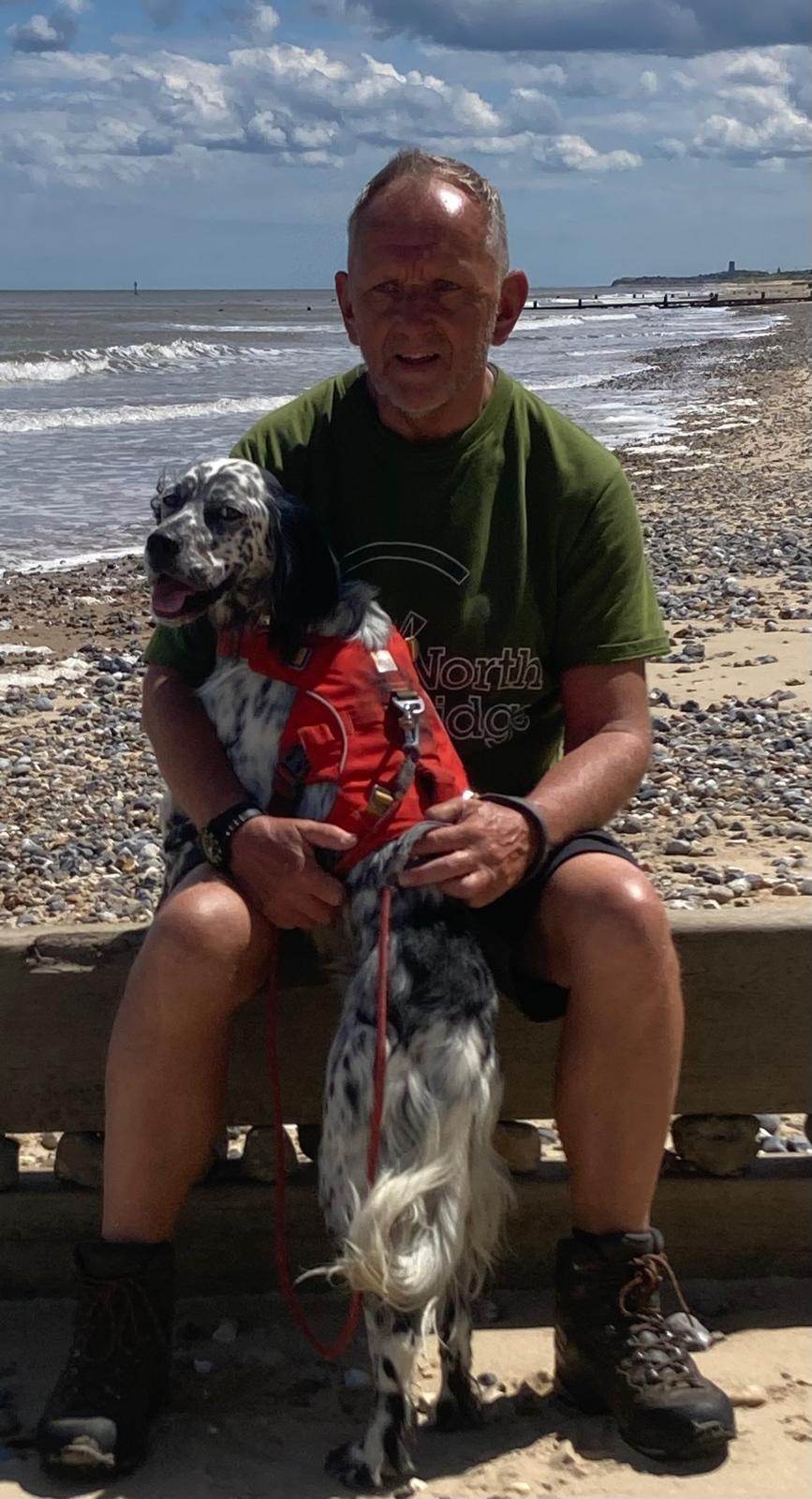
Day 98/99: June 15th: To Norwich
After a tough few weeks we’ve decided to take a couple of days off. Today, Saturday we will travel to Norwich to explore the city and history whilst we get some rest and the opportunity to check and thoroughly clean our kit. Our heart felt thanks go out to everyone who is following our adventure and have donated to the cause. It’s truly humbling as we near the half way point of both our journey and fundraising target. We will be back on the East coast on Monday making our way towards Great Yarmouth.
Where am i now
There is a wealth of Information about the city history so we have picked out a few snippets. The first being a fascination for Queen Boudica (Boadecia ...as were were taught) Seems the schools of the 70's didn't have that quite right.
The capital of the Iceni tribe was a settlement located near to the village of Caistor St Edmund on the River Tas about 5 mi to the south of modern Norwich.[ After an uprising led by Boudica in about 60 CE, the Caistor area became the Roman capital of East Anglia named Venta Icenorum, literally "marketplace of the Iceni". This fell into disuse about 450 CE.
The Anglo-Saxons settled the site of the modern city some time between the 5th and 7th centuries, founding the towns of Northwic* ("North Farm"), from which Norwich takes its name] and Westwic (at Norwich-over-the-Water) and a lesser settlement at Thorpe. Norwich became settled as a town in the 10th century and then became a prominent centre of East Anglian trade and commerce.
Norwich claims to be the most complete medieval city in the United Kingdom. It includes cobbled streets such as Elm Hill, Timber Hill and Tombland; ancient buildings such as St Andrew's Hall; half-timbered houses such as Dragon Hall, The Guildhall and Strangers' Hall; the Art Nouveau of the 1899 Royal Arcade; many medieval lanes; and the winding River Wensum that flows through the city centre towards Norwich Castle.
In May 2012, Norwich was designated England's first UNESCO City of Literature.[5] One of the UK's popular tourist destinations, it was voted by The Guardian in 2016 as the "happiest city to work in the UK" and in 2013 as one of the best small cities in the world by The Times Good University Guide. In 2018, 2019 and 2020, Norwich was voted one of the "Best Places To Live" in the UK by The Sunday Times.
There is a wealth of information on Wikipedia (link below) well worth reading and perhaps add to your list of places to go and visit in the future.
6/13/2024 8:08:01 PM
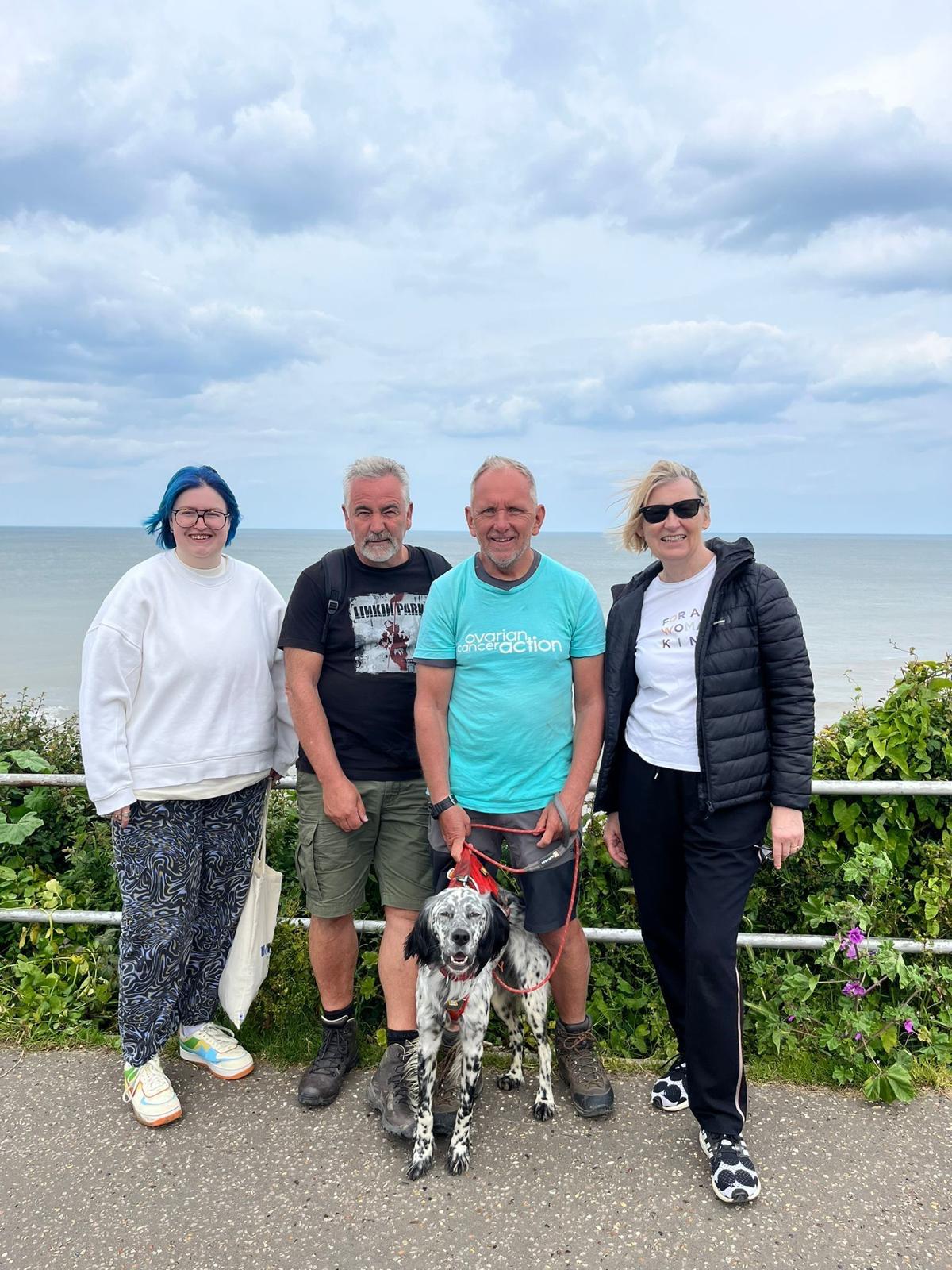
Day 97 June 14th: Mundesley to Waxham


Where am i now
We travel today to Waxham via Bacton. The Bacton Gas Terminal is a complex of six gas terminals within four sites located on the North Sea coast of North Norfolk in the United Kingdom. The sites are near Paston and between Bacton and Mundesley. Yesterday we passed through Cromer. The town is notable as a traditional tourist resort and for the Cromer crab, which forms the major source of income for local fishermen. The Lordship of Waxham has a rich history that covers many centuries. Most feudal titles were created after the Norman invasion of England in 1066, but lordships pre-date this. It was held by St Benet's Abbey and Alan the Earl of Richmond a Breton noble who fought for Stephen of England. The present-day holder of the Lordship of Waxham is Stephen David Young, a businessman originally from Buckinghamshire.
6/13/2024 5:19:10 AM
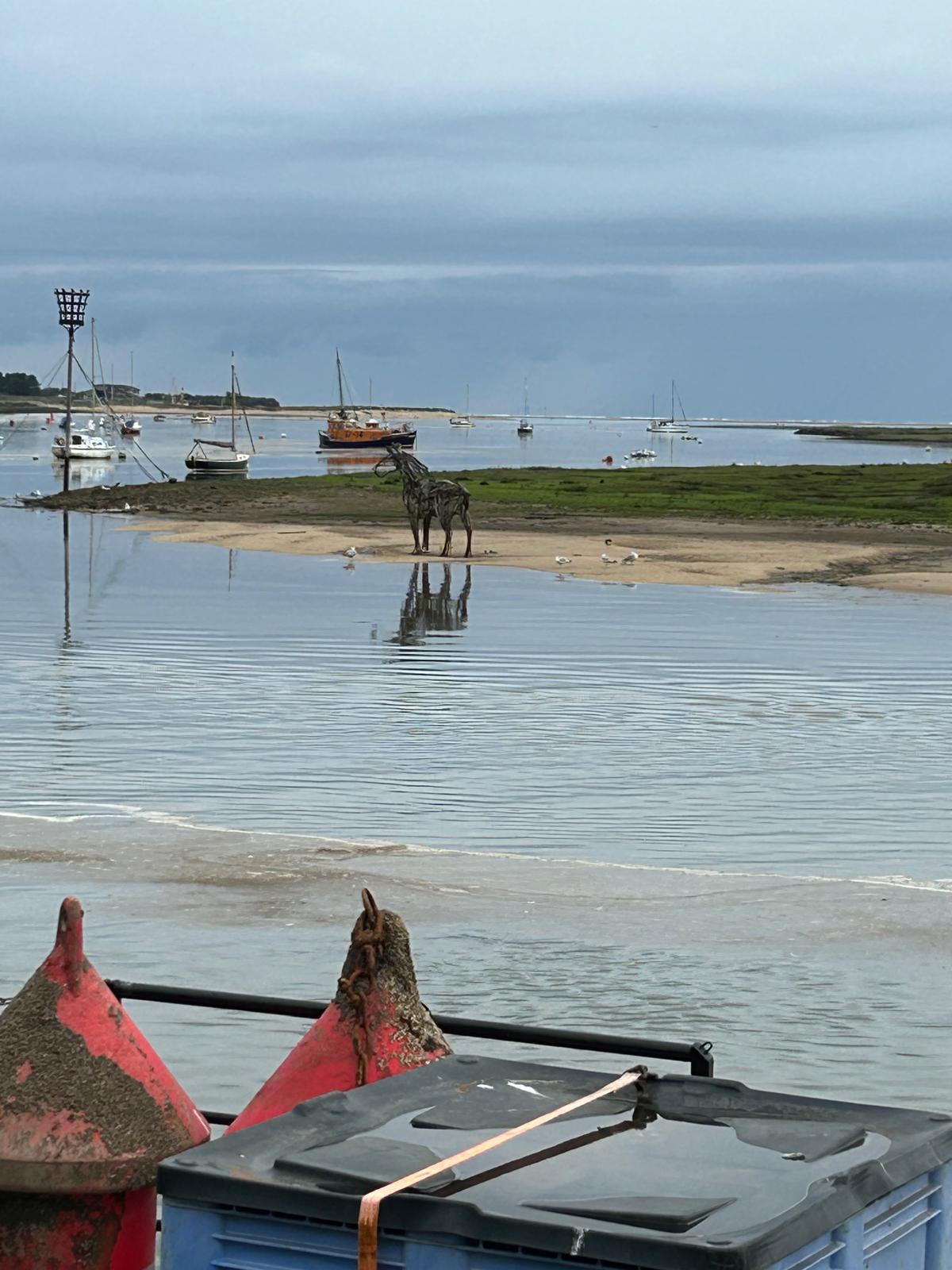
Day 96 June 13th: Weybourne Hope to Mundesley

They think of everything here. Louis even has his own beer.

We are looking forward to Sheringham and Cromer today as we have heard great things about them. Lets hope the rain holds off.
Where am i now
Today we are travelling from Weybourne Hope to Mundesley passing through two iconic Norfolk Sea towns of Sheringham and Cromer. Sheringham is a very old settlement that is mentioned in the Doomsday book. It also has the distinction of being the first place in Britain hit by bombs by a Zeppelin in the first world war on 18/01/1915.
An annual Cromer and Sheringham Crab/Lobster festival is held in May,[ and the town's Carnival is held at the beginning of August.
We will give more of an update on Cromer tomorrow as we take more pictures.
6/11/2024 8:32:38 PM
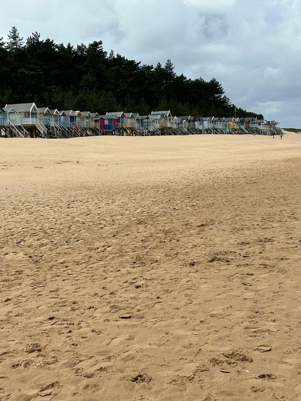
Day 95 June 12th: Wells Next The Sea to Weybourne

Just wanted to say thanks to all those I have met recently. We really appreciate the kind words and wonderful donations, We are now at 47% so approaching the halfway point of our target. It really makes us believe and feel we are achieving something meaningful.
Classic Louis from yesterday.

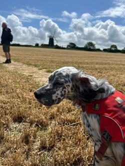
Where am i now
Today we leave to head to Weybourne. Some 15 miles away. Wells has been a lovely place, well worth a visit and we have enjoyed it here. Our destination, Weybourne is a relatively small but charming village with standing remains of the Augustinian priory which is Grade I listed.
Weybourne railway station was used as the location for the filming of the Dad's Army episode, "The Royal Train" .
Apparently Sir John Major, KG, CH, Prime Minister of the United Kingdom from 1990 to 1997, owns or owned a house in Weybourne.
6/10/2024 9:20:01 PM
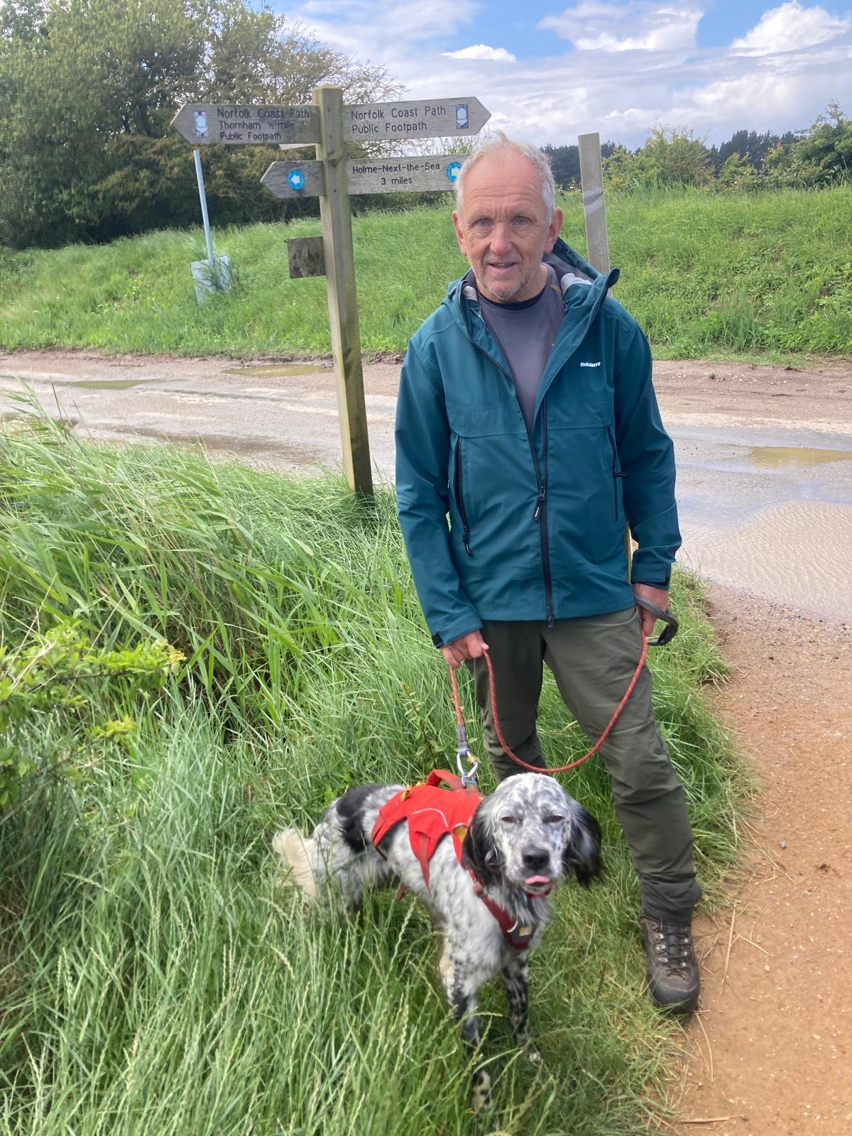
Day 94 June 11th: Brancaster Staithe to Wells Next The Sea (2)

Where am i now
Wells Next The Sea is quaint name and the town certainly has a long history. The name is Guella in the Domesday Book of 1086 (half gallicised, half Latinised from Anglian Wella, a spring). This derives from spring wells, of which Wells used to have many, rising through the chalk of the area. The town became Wells-next-the-Sea from juxta mare in the 14th century to distinguish it from other places of the same name. There is a relatively new Lifeboat station, replacing one which had stood since 1899, was opened in 2022 to house the new Shannon-class lifeboat named the Duke of Edinburgh,
6/10/2024 6:47:10 AM

Day 93 June 10th: Hunstanton to Brancaster Staithe

Our target is Brancaster Staithe which has it roots in roman times and blessed with a lovely harbour. Lets hope the rain stops so we can appreciate it.
Where am i now
Louis tried his hand at being a police dog yesterday but the lack of sausages was to much a drawback so he's sticking with me.
We leave Hunstanton today working our way along the coast to Brancaster. We will pass close to the RSPB site at Titchwell. The number of birds that use these coasts and marshes provides an important habitat in abundance, particularly for migratory birds from Europe and Scandinavia. See the link for RSPB at Titchwell RSPB Titchwell
6/9/2024 6:23:25 AM
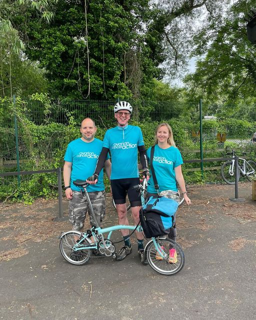
Day 92 June 8th: Sutton Bridge Kings lynn and Hunstanton

We will leave the comfort of our accommodation after a hearty breakfast to make our way towards the red limestone and white chalk cliffs of old Hunstanton.
The lead picture below is of a group of magnificent supporters
The Tour De Cotswold - yesterday 67 staff of Nationwide left their Head Office to undertake a fundraising cycle challenge. With options of routes of 35, 65 and 100 miles we are extremely grateful of their efforts. We would have loved to thank everyone in person, however as this is not possible we chosen Tim represent them all and accept our thanks on behalf of everyone as he undertook the 100 mile course on his Brompton - what an achievement. We would like to thank Darren and Laura for organising this fantastic event and Performance Cycles of Cirencester who marked out the course and provided technical support. The fundraising total is not yet available but will significantly help us get to our target. Thank you all.
To read more follow this link to our Face book Page
Where am i now
A brief word of thanks to all at the Lord Napier....
We leave Lincolnshire and cross into Norfolk into once was the Kingdom of the East Anglia with its strong Anglo Saxon heritage. We will be travelling from our accommodation in King's Lynn which was once until 1537 as Bishop's Lynn and colloquially as Lynn. We will then push on to The town of Hunstanton, often known as “Sunny Hunny”. It’s unique because it’s the only east coast resort in England that faces west, which allows for stunning sunsets over the sea
6/8/2024 7:56:26 AM
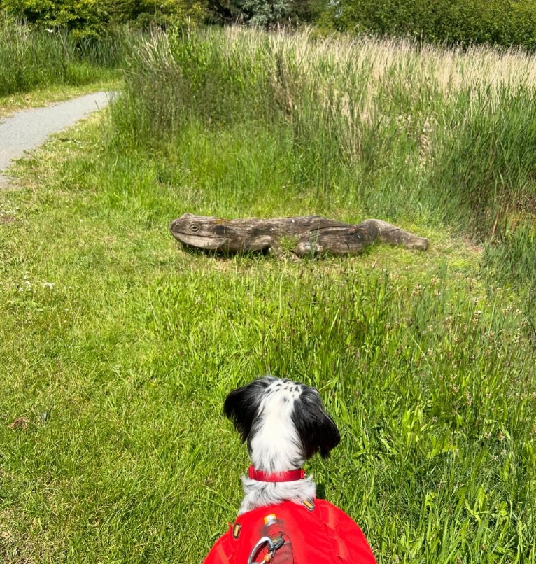
Day 91 June 8th: Holbeach St Mathew to Sutton Bridge

We continue our Journey around the Wash today having spent the night in Boston.
The land being so flat here you can be close to the sea and still not see it due to various earthworks created to prevent flooding.
To illustrate the point The picture below, try to spot the sea, its there but only just.
Where am i now
Sutton Bridge is a village in the interestingly named "South Holland" district of Lincolnshire., its very flat and bears some similarity to Holland proper. The village includes a west bank of the 105 mile long River Nene. To cross, you need to use the swing bridge which spans the river allowing boat traffic The Nene is navigable from just above its junction with the Northampton Arm of the Grand Union Canal to the sea.
We will be passing the areas of Marsh and quicksand into which King john lost the crown jewels taking too long to cross before the tide came in. King John passed away a week later and was succeeded by his 9 year old son, Henry the third.
6/7/2024 4:23:12 AM
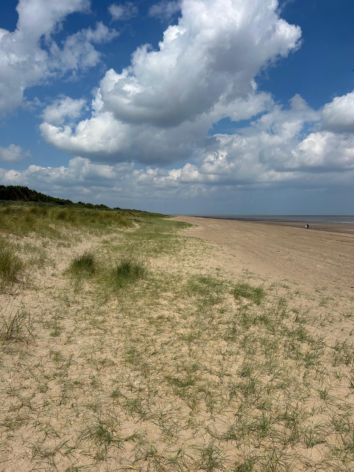
Day 90 June 7th: Wrangle to Haven River

We are heading south of Boston today and staying in a small hamlet amidst the Fens and drains that abound in this low lying area. We are grateful to be able to find accommodation. in this sparely populated area.
Where am i now
Wrangle village lies on western side of The Wash, on the broad bank of marine silt left by the great tidal creeks which formed, predominantly during the Bronze Age, about 2,500 years ago. The haven refers to a harbour long since gone. The Wash has four large rivers draining into it, the River Welland, River Witham, River Nene and the one hundred and forty three mile long River Great Ouse, which between head across England's lowest lying terrain eventually making their way out into the North Sea.
6/6/2024 6:00:26 AM
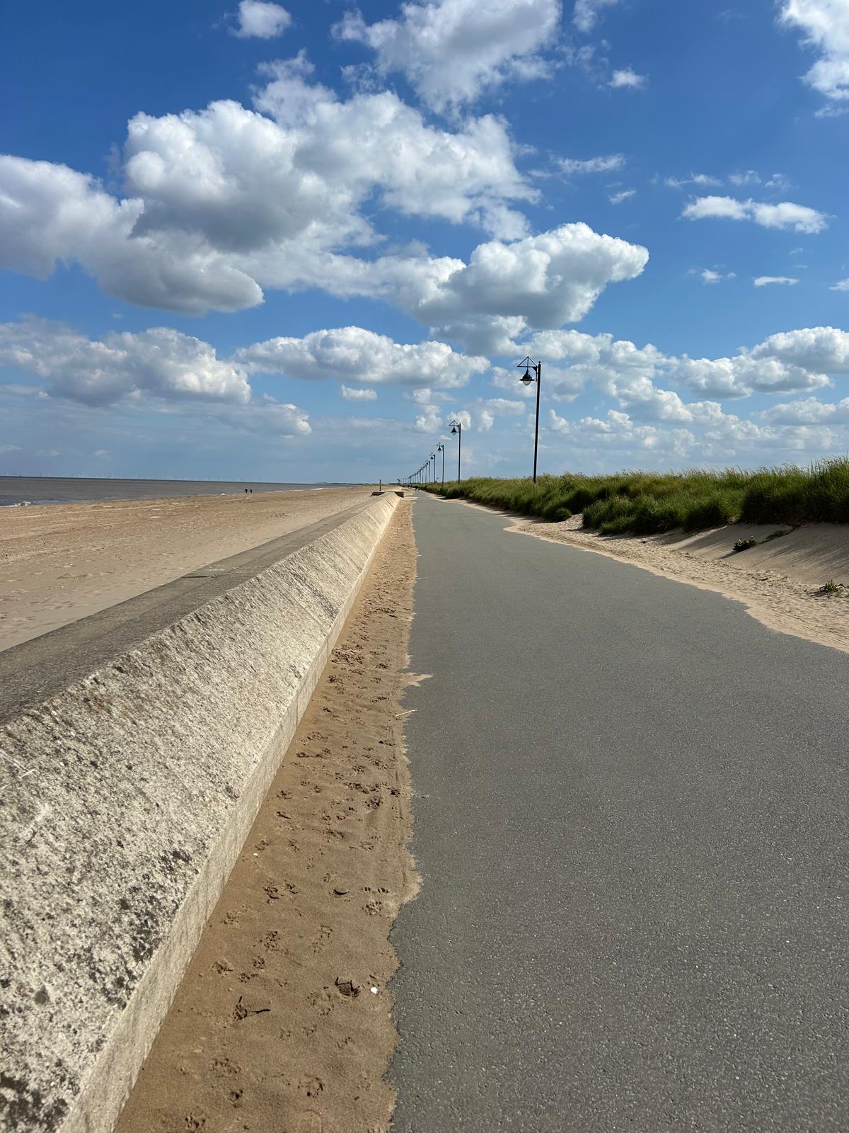
Day 89 June 6th: Mablethorpe to Skegness

Today marks the 80th Anniversary of the D-Day landings. We could not put into words how much we respect and appreciate all those that worked for our freedom today.
.
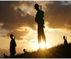
Where am i now
An exceptional fundraising donation day yesterday. A heartfelt thanks from the both of us. 🐾🐾
Today we are walking the resumed coast path from Mablethorpe to Skegness on the Lincolnshire coast. Louis has been looking forward to this county due to the particular sausage making skills of this this region.
Skegness has been home to several people associated with the entertainment industry. Billy Butlin (1899–1980) first set up his amusements stall on the seafront in the 1920s, opened the fairground rides south of the pier in 1929 and then established the first of his all-in holiday camps at Ingoldmells in 1936
6/5/2024 5:55:03 AM
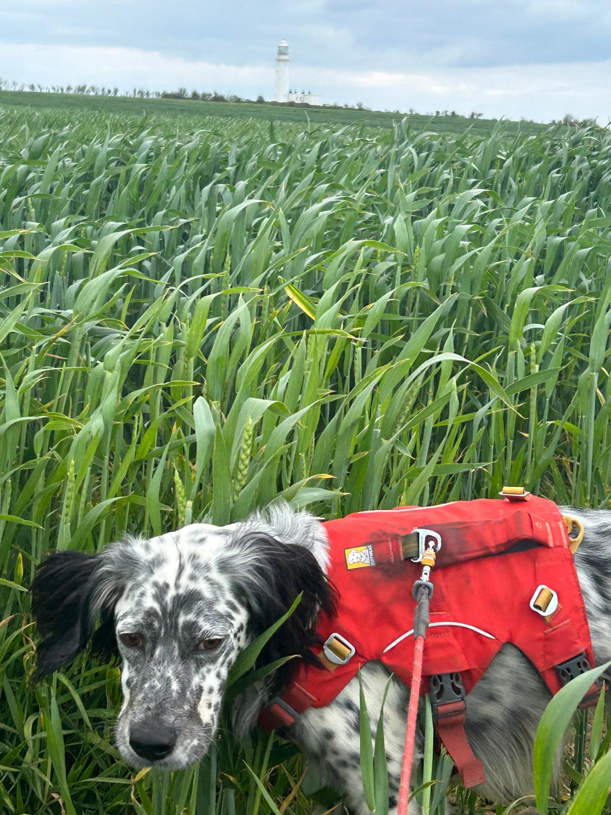
Day 88 June 5th: the Humber Estuary and the King Charles 3rd Coastal Path
Today we leave for the next section of the path starting in Mablethorpe. We say a big thanks to the people of Yorkshire for a great last day of fundraising and say a big hello to Lincolnshire.
Where am i now
Today we will be in transit from the Humber Estuary and the King Charles 3rd Coastal Path to Mablethorpe where we can join a path again. This area has suffered from coastal erosion and so there is no open King Charles path. Progress is being made and eventually will be completed. The next walkable section is the Mablethorpe to Skegness section which we will pick up next. To read more on the path follow this link to the King Charles lll National trail coast path
6/3/2024 5:04:05 PM
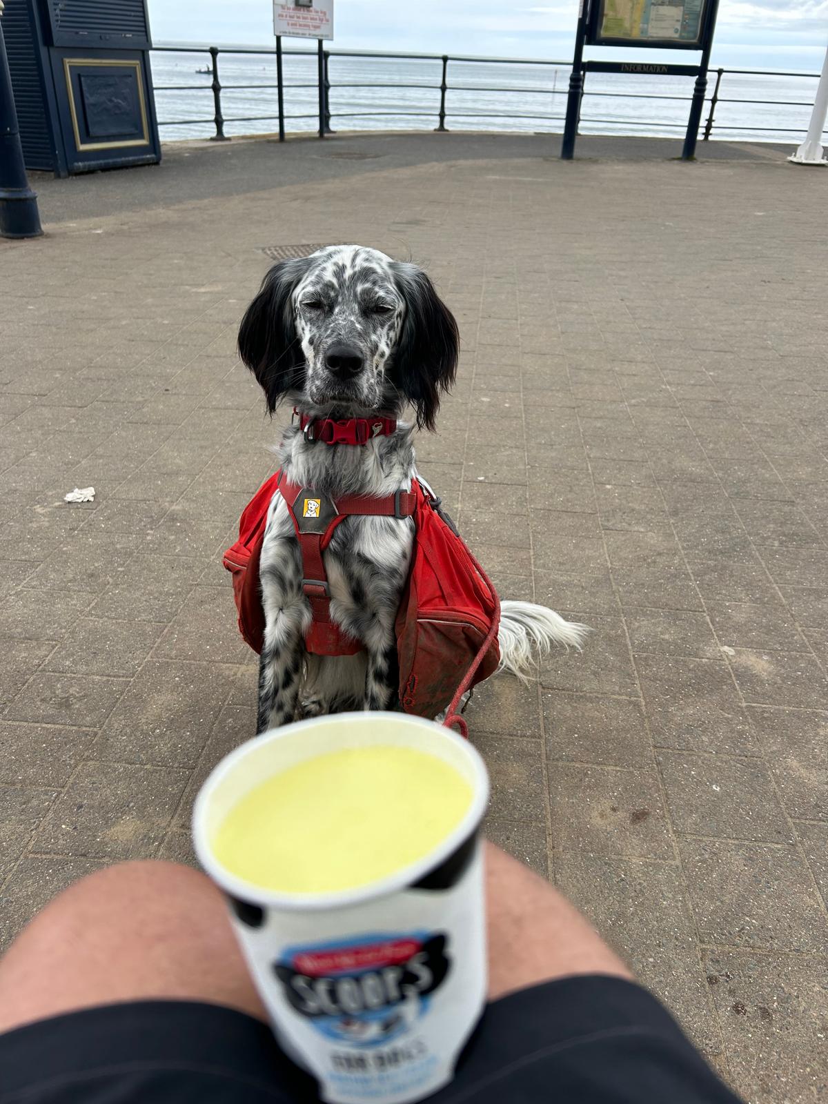
Day 87 June 4th: Bempton to Bridlington

We plan to make it to Bridlington. The coastal a route is somewhat longer than the direct across land but wen follow a coast walk wherever possible. Once we are round the headland we should get some shelter from the forecast wind. Quick pic for Filey yesterday below., A nice place, not well known.
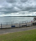
.
Where am i now
Louis has a lot of patience when it comes to getting his share of the ice-cream. We had a duel of patience with this yesterday hence the headline picture. He can sit motionless for a lot longer than I can! Onwards down the coast we head to Bridlington.
Bridlington is on the Holderness part (Flamborough Head to the Humber estuary) of the Yorkshire Coast. It is reputed to be the largest lobster port in Europe, with over 300 tonnes of the crustaceans landed there each year and often referred to as the "Lobster Capital of Europe". Two hoards of Roman coins were found in the Bridlington harbour area, along with two Greek coins from the second century BC.
The towns in Canada (Ontario) and the US (New Jersey) called Burlington are named after Bridlington, In particular Burlington New Jersey which was founded by the new jersey Quakers. "The Founding of the Quaker colony of West Jersey". Smith's History of NJ. Independence Hall Association. Archived from the original on 12 June 2011. Retrieved 24 September 2011. At Chygoes Island they laid out a town. "After locating the main street, they divided the land on each side into lots – the easternmost among the Yorkshire proprietors, the other among the Londoners. The town was first called Beverly, then Bridlington, and finally Burlington.
6/3/2024 5:40:18 AM
Day 86 June 3rd: Scarborough to Bempton

Where am i now
Our route today is a fair distance but while the weather is good, we intend to cover as much distance as we can. we are heading for Bempton, There is a large RSPB Site of a great importance. See the link to the RSPB site for more info. Hopefully I won't be the only Puffin there! link to RSPB site here
The huge white chalk cliffs at Bempton are impressive at any time of year. But visit between April and July, and you'll find them transformed into England’s largest seabird city. Here Puffins, Gannets, Kittiwakes and Guillemots live life on the edge. There are more Gannets acrobatically diving into the deep here than anywhere else on mainland England.
6/2/2024 7:42:31 AM
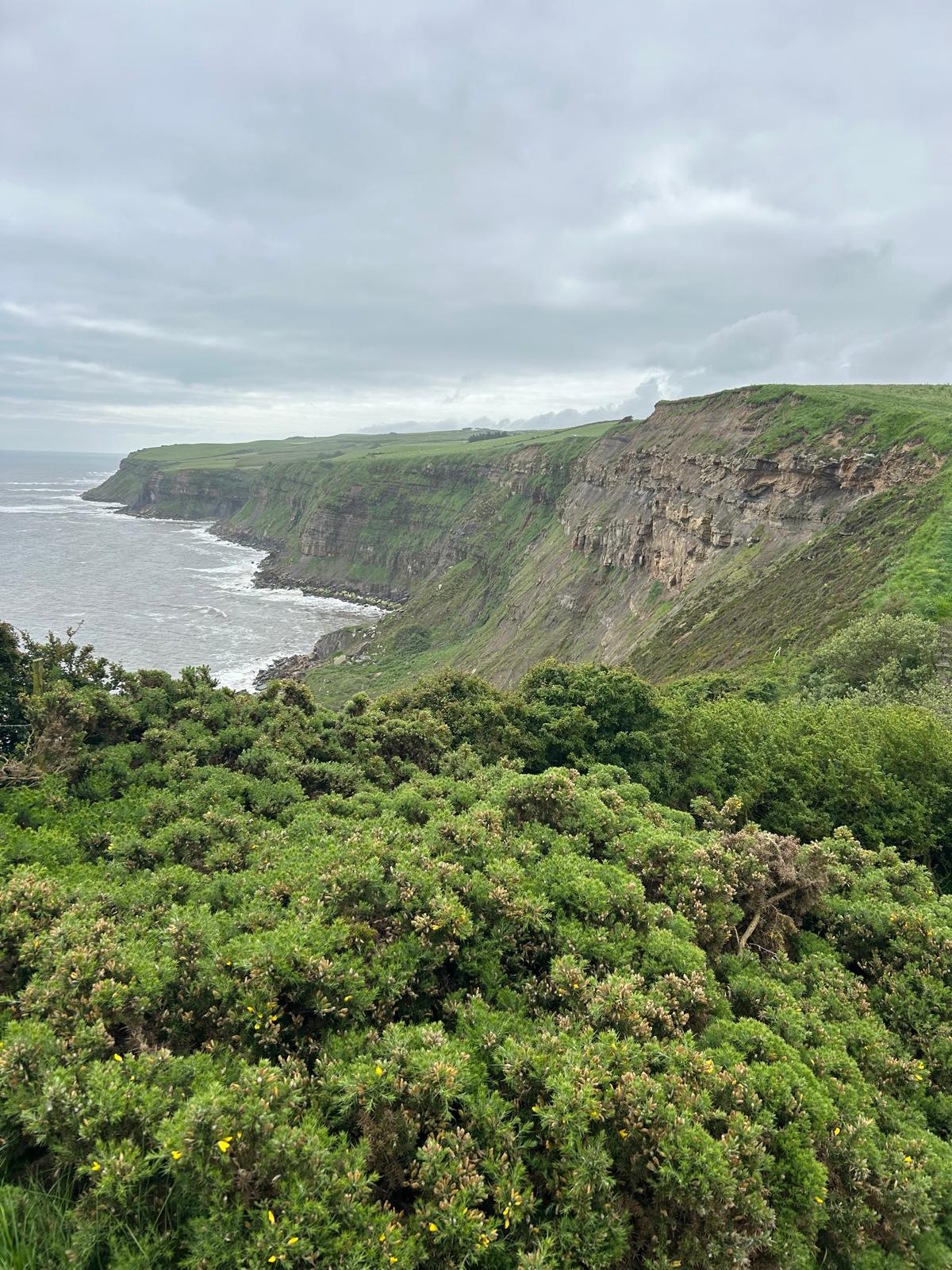
Day 85 June 2nd: Cloughton to Scarborough

Its going to be a good weather day today which will be great as we are heading in to Scarborough on a Sunday. Time to test the Folks of Yorkshire out with exercising their wallets. We are so close to hitting the £20k mark at £19,805. Louis says he is happy to do some face washing if it helps.
Link to just giving page to track progress
Yesterday, we went via Whitby .Super when the sun is out.

Where am i now
Today we will head the shorth distance of 7 miles into Scarborough home of the Scarborough Fair. It will run for seven weeks from Saturday June 15 to Sunday August 4 – plenty of time to browse! – During the late Middle Ages the seaside town of Scarborough fayre was an important venue for tradesmen from all over England. Hosting a huge 45-day trading event starting on 15 August, and continuing until the end of September. You can see why people arranged to meet by asking "are you going to Scarborough Fair?
6/1/2024 4:55:58 AM
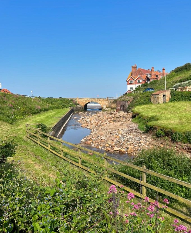
Day 84 June 1st: Sandsend to Cloughton and Whitby


Where am i now
Today we will be passing through Whitby on our way south to Cloughton. Whitby has an extraordinary History. At the mouth of the River Esk. It has both a maritime and mineral legacy. The port emerged as a home to important herring and whaling fleets, and was where Captain Cook learned seamanship and was where where his first vessel to explore the southern ocean, HMS Endeavour, was built here. That's he ship commanded by Cook on his voyage to Australia and New Zealand. The area had Jet and alum mined locally, and Whitby jet, which was mined by the Romans and Victorians, became particularly fashionable in the 1800's. Whitby is also well known is the association with the fictional horror novel Dracula and the abbey ruin at the top of the East Cliff.
5/31/2024 5:20:20 AM
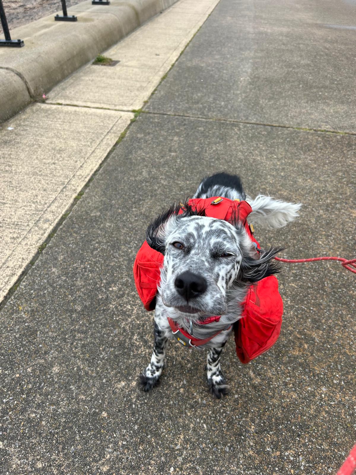
Day 83 May 30th: Redcar to Sandsend

We have a big challenge today in terms of distance, There is also more of a climb than we have had recently. We have added the statistics below for interest.
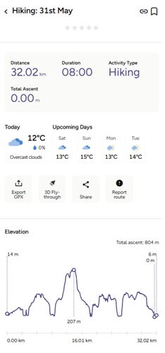
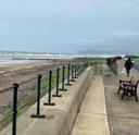
Where am i now
It was a strong wind coming of the North sea yesterday. The sea is still cold right now so it was about 12C. We are off on quite a bit of a marathon today, 20 miles as opposed to a real marathon of 26 miles.
Our destination is Sandsend, a small fishing village, near to Whitby Originally two villages, Sandsend and East Row, the united Sandsend has a pub and restaurant. A part of the western side of the village, in the Valley, is still owned by Mulgrave Estate with the Marquis & Marchioness of Normanby since 1743. The Valley is one of the most desirable and expensive areas to buy property on the Yorkshire Coast.
5/30/2024 8:46:52 AM
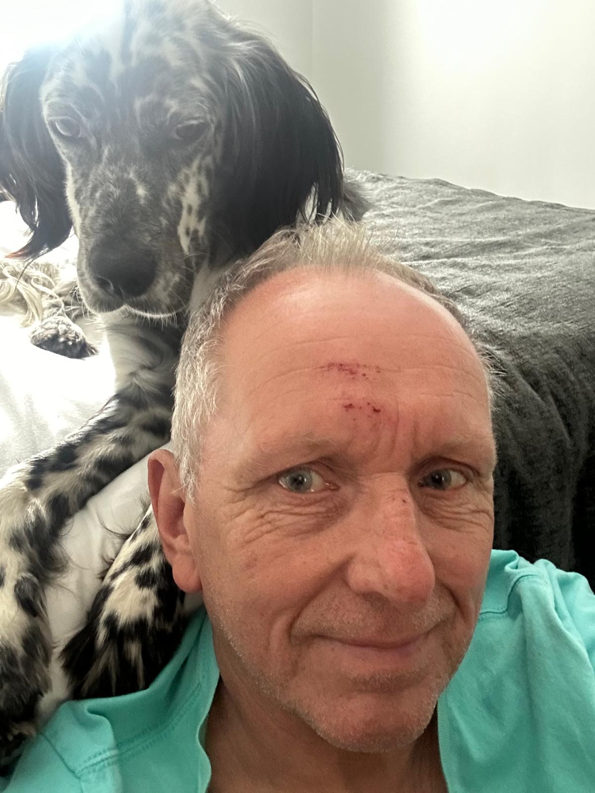
Day 82 May 29th: Middlesbrough to Redcar

We must confess, we are going for the sympathy vote today as yesterday we took a tumble at the roadside verge. Louis is feeling a bit guilty but he is taking care of us. We must say a huge thanks to a kind chap Chris who took pity on us stopping to help out and gave us a lift to where we are staying tonight. Another town, another A&E. checked out for concussion and a further X-ray on the arm shows nothing up top and although very sore no further fractures. Good news is we’re still talking 🐾🐾
Where am i now
Redcar is very low-lying site by the sea; It is thought that second element of its name is from Old Norse kjarr, meaning 'marsh', and the first may be either Old English (Anglo-Saxon) rēad or 'reed' Redcar is the home of the oldest surviving Lifeboat and dates back to 1802.
Taking the walk today rather gingerly, we will head along the south bank of the Tess before hitting the coast again walking onwards to Redcar.
5/29/2024 6:25:53 AM
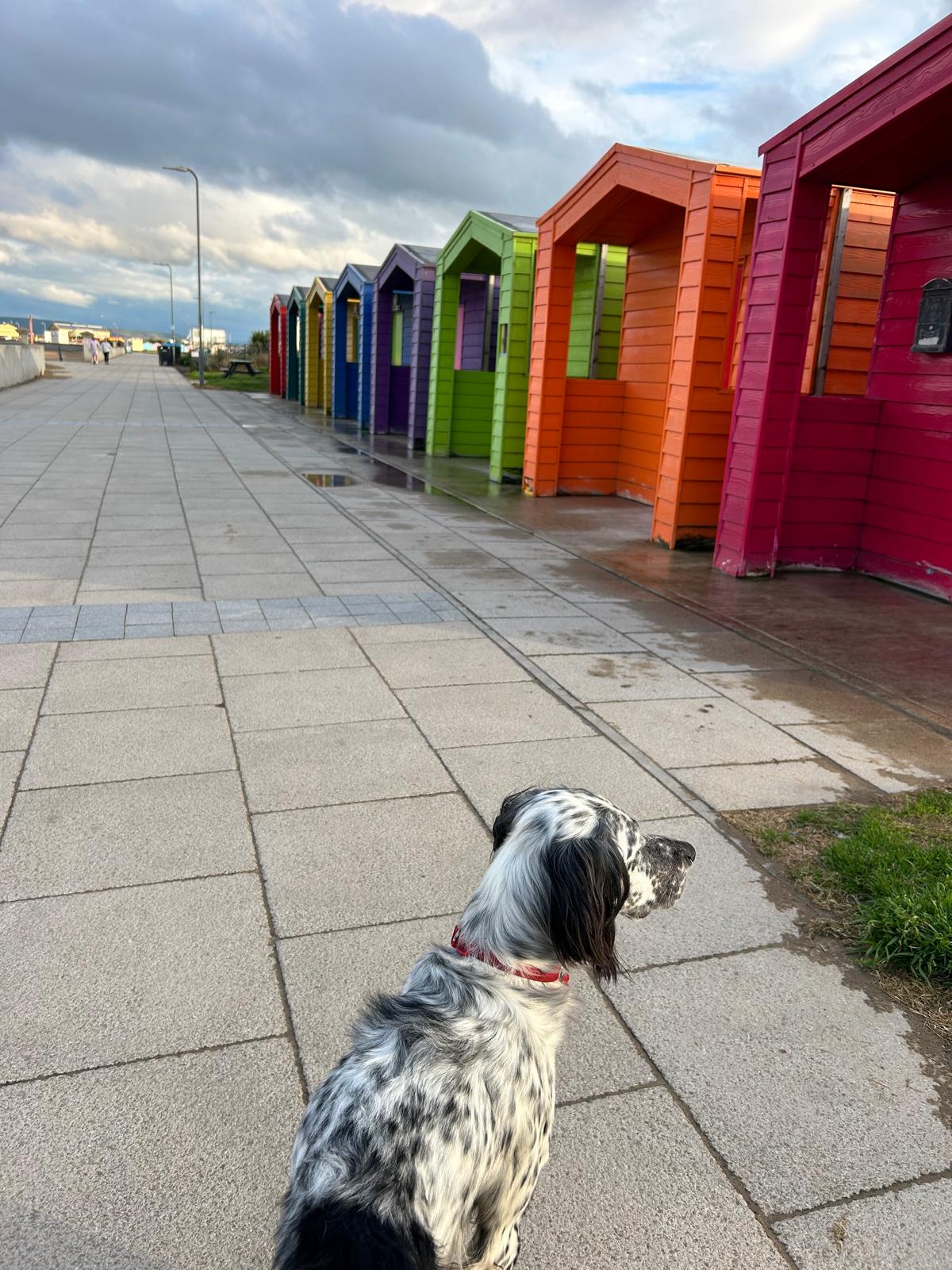
Day 81 May 29th: Hartlepool to Middlesbrough

We travel along the coast leaving County Durham and enter England largest county, Yorkshire. We will travel up the Tees estuary today to Middlesbrough.
Yesterday we stayed at Hartlepool and we could not leave out the story of why there is a statue of a monkey in the town. "Link to wiki pedia " Whether there was a monkey hung in the town or not these days is irrelevant as it has become part of the town's Individuality along with Reg Smythe creation "Andy Cap


Where am i now
To Middlesbrough today. Several of my favourite musicians including Paul Rodgers, Chris Rea are from Middlesbrough. Interestingly unlike many other big football clubs, Middlesbrough FC is own and run by a Middlesbrough local man Steve Gibson OBE. Gibson is a lifelong Middlesbrough fan.
The town was a planned development which started in 1830 and was centred on a new port with coal and ironworks. Steel production and ship building were core industries in the area for nearly 2 centuries.
5/28/2024 5:39:55 AM
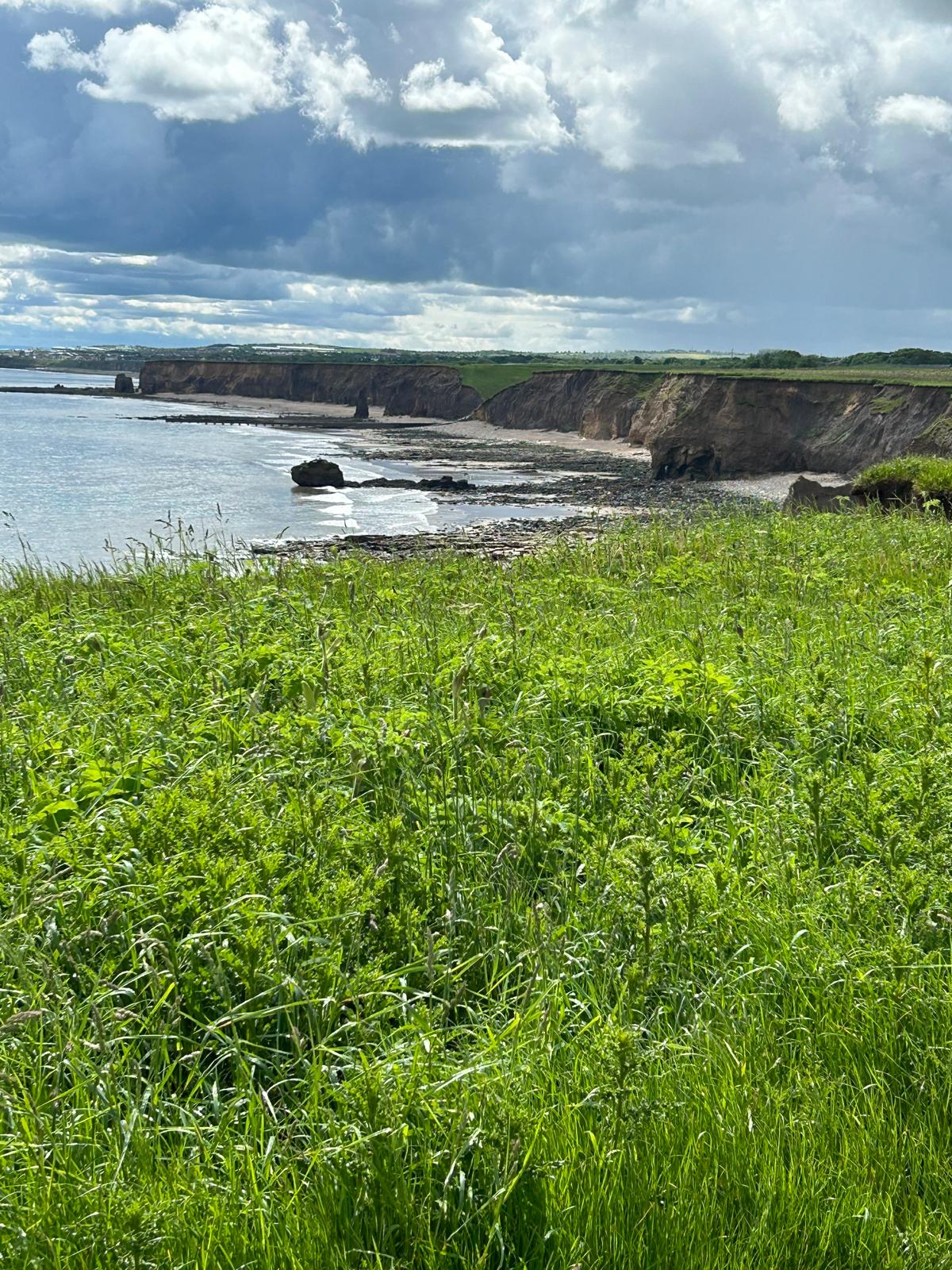
Day 80 May 28th:Peterlee to Hartlepool

We wanted to add these to todays pictures of a few sites from yesterday as a mark of respect to the men of the area. We have see in all quarters of the country so far, Marks of respect at the boundary of land and sea show just how united the country really is when called upon.


Where am i now
We are heading for Hartlepool today, its a fair 15mile or so walk to what is a town with a very long and rich heritage. The place name comes from the Old English heort ("hart"), referring to stags seen, and pōl (pool), a pool of drinking water which they were known to use. record go back to 640 AD. In 1306, Robert the Bruce was crowned King of Scotland, and became the last Lord of Hartness.
5/27/2024 5:54:21 AM
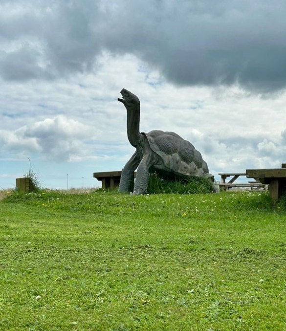
Day 79 May 27th:Sunderland to Peterlee

Where am i now
Back on the path again today and looking forward to making some strong progress down the east coast. we will be leaving the Tyne and wear county and entering County Durham. Our destination is Peterlee and Horden. An interesting history check on Peterlee is that is one the few towns in England to be named after a person, the Durham miners leader Peter lee.
5/25/2024 9:07:53 AM
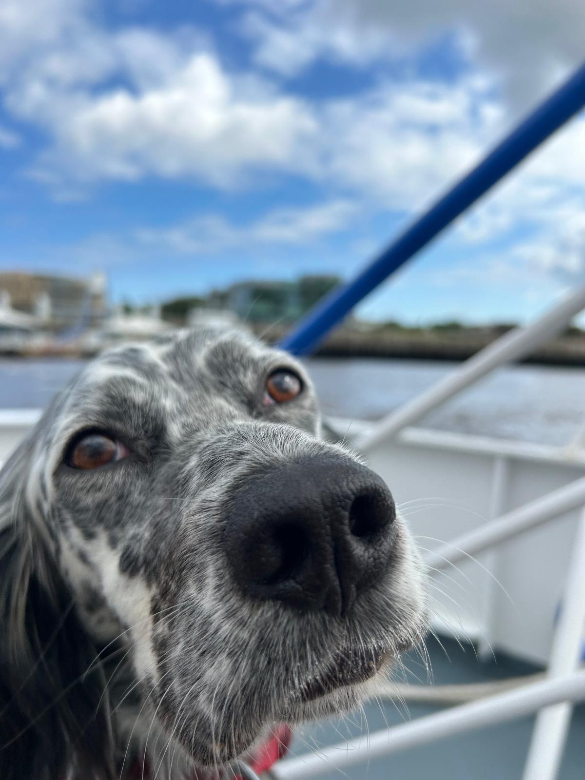
Day 77/78 May 25th and 26th: Rest days back in Newcastle
Resting up in Newcastle over the weekend. Might see if i can get this arm checked out again.
Being a Dog ,appreciative of attention, Louis was keen to do this in Newcastle following all the fuss he got from a visiting Hen party who popped in a pub we were at. Cheers Ladies!
Where am i now
We are planning to rest up back in Newcastle for the weekend to enjoy some more of that Geordie warmth and hospitality. our fist trip on Monday will be to restart back to Sunderland and walk down to Seaham.
5/24/2024 7:57:52 AM
Day 76 May 24th: South Shields to Sunderland

Big day yesterday hitting the 1000 mile marker. If it wasn't so cold and damp yesterday I would have celebrated more. It long way down this north sea coast. When the weather is good, its lovely but even in May it can be very cold and tough.
I hope the song link below is appropriate Nick.
Song a thousand mile courtesy of you tube
Where am i now
That's it our first 1000 miles covered! Today we travel from South Shields to Sunderland. Roughly 150 years ago, in the village of Marsden in South Shields, Souter Lighthouse was built, the first electric structure of this type. Now Sunderland is the home of one of the most popular pioneering electric machines the Nissan Leaf car. Exported all over the world! It may not be coal or or Salt anymore but still exporting which benefits us all.
Sunderland was was one of three small settlements by the mouth of the River Wear on the North East coast of England. Excavations uncovered at St. Peter's Church in Monkwearmouth suggest that prior to these settlements, the earliest inhabitants of the region were Stone-Age hunter gatherers,
5/23/2024 4:53:32 AM
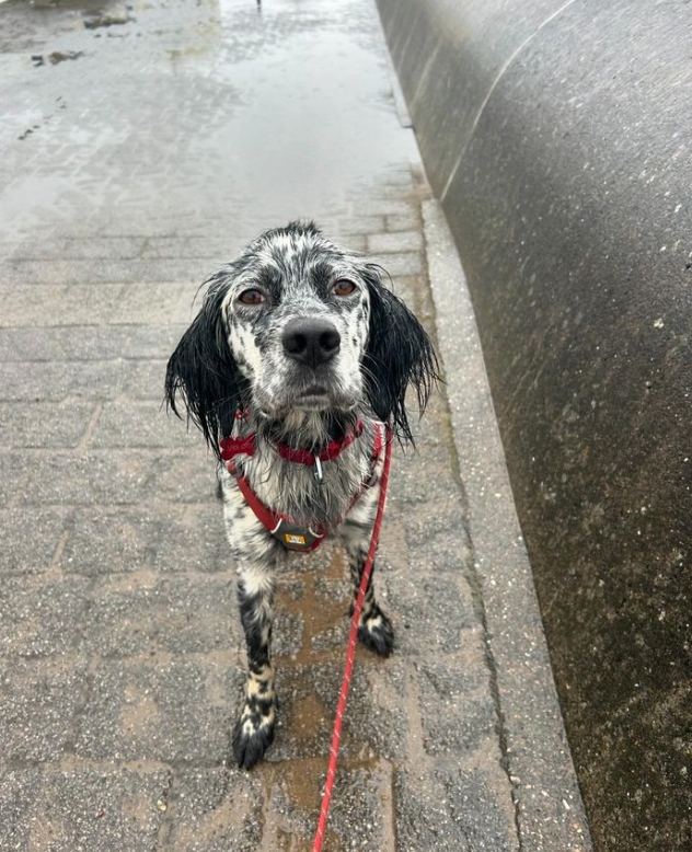
Day 75 May 23rd: onward to Newcastle

Where am i now
After a good few days of lovely weather we are in wet weather gear and It's cold. Off to Newcastle today for a warm Geordie welcome and a rest. The term “Geordie” is used to describe people from Newcastle, but its exact origin is not entirely clear. Anyone?
5/22/2024 6:23:14 AM
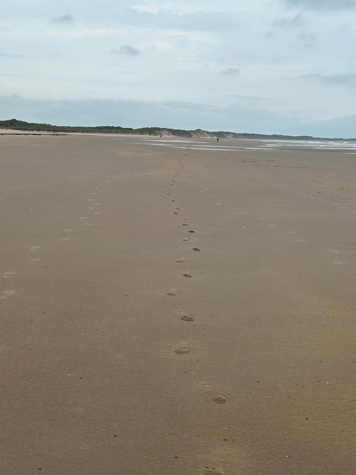
Day 74 May 22nd: Ashington to Whitley Bay

Where am i now
Leave only footprints! that's Nick and Louis you can see in the title picture. Lovely unspoilt beaches here especially when the suns out.
Today we are heading to Whitley Bay via Blyth. The place-name Blyth goes back to at least 1130 as Blida, and takes its name from the river Blyth. The river's name comes from the Old English adjective blīðe meaning 'gentle' or 'merry'. Whitley Bay will be our last port of call in Northumberland before crossing into Tyne and Weir county and then onto county Durham.
5/21/2024 5:42:01 AM
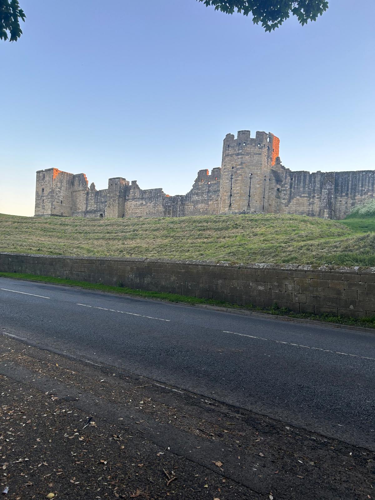
Day 73 May 21st: Warkworth to Ashington

Where am i now
Lovely day yesterday, what a beautiful area of the country. The good people of the North East are really appreciated.
We are heading for the small town of Ashington which has contributed a huge amount of sporting talent to our country.
Ashington is a town and civil parish in Northumberland, England, with a population of around 28,000. It was once a centre of the coal mining industry. The town is 15 miles north of Newcastle upon Tyne and bordered to the south by the River Wansbeck.
Famous people from Ashington, Northumberland include: Jackie Milburn (FA Cup fame with Newcastle United) Cecil Irwin (made over 300 appearances for Sunderland AFC) Jimmy Adamson (later managed both Leeds United and Sunderland AFC) Bobby Charlton (English footballer and football manager) Jack Charlton (British footballer) Michael Oliver (British football referee) Mark Wood (English cricketer) George Milburn (English footballer)
Thanks Ashington.
5/20/2024 6:59:20 AM
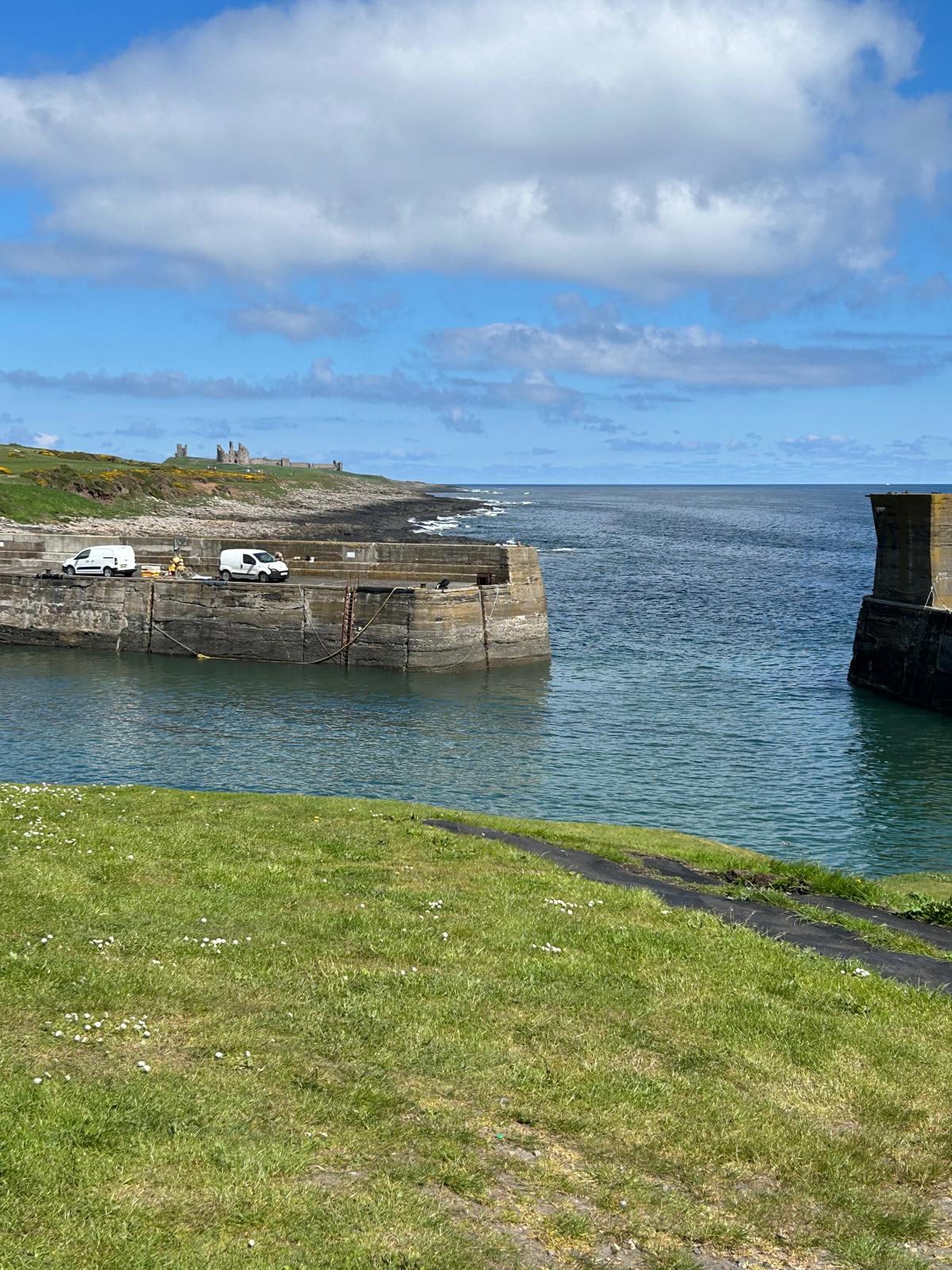
Day 72 May 20th: Newton By The Sea to Warkworth

Where am i now
The North Sea coastline is very long and not exactly defined. Berwick on tweed to Sandwich in Kent may only be 450 or so miles but the line of the coast will at double this. I guess we are going to find out! We are just approaching the 1000 miles covered to date! In the above picture is the ruins of Dunstaburgh Castle was constructed by Thomas, the Earl of Lancaster, between 1313 and 1322 in the time of cousin, King Edward II.
Today we head for Warkworth, In this case, 26 kilometres * 0.621371 equals to about 16.16 miles.
5/19/2024 8:35:53 AM
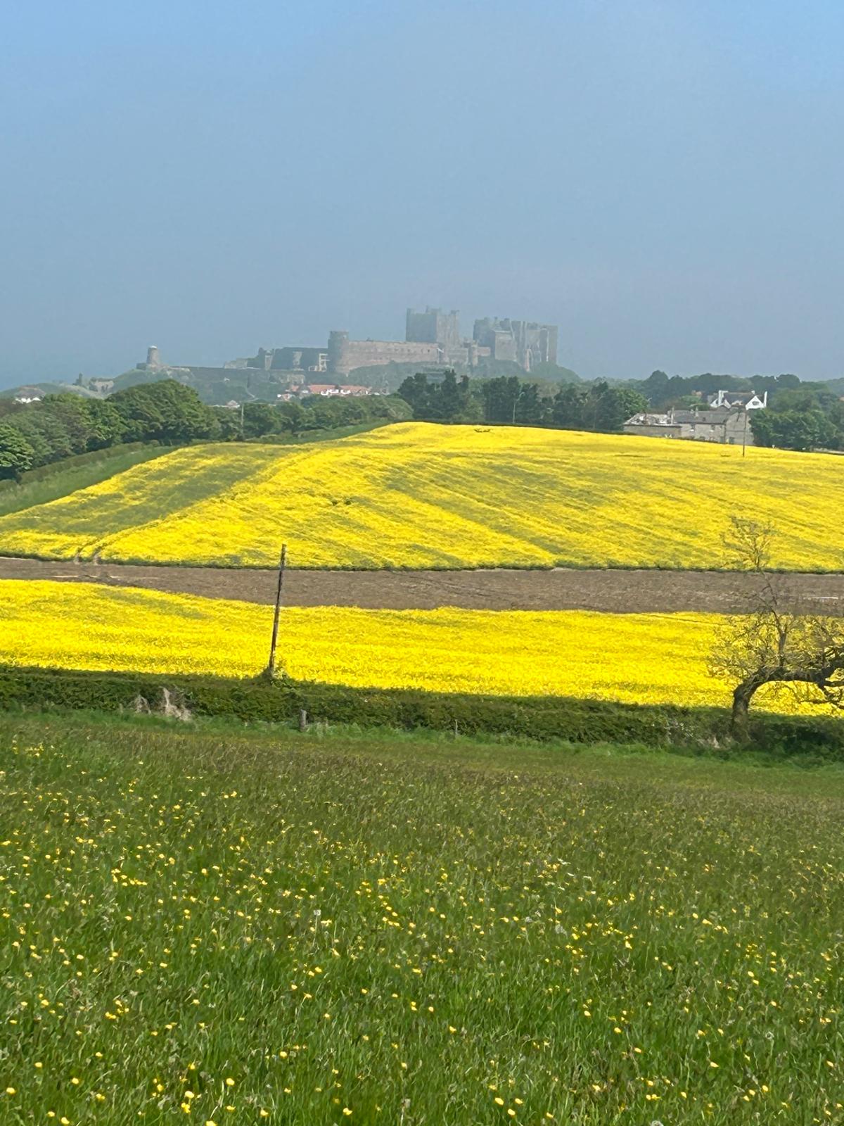
Day 71 May 19th: Bamburgh to Newton By The Sea


Where am i now
Bamburgh Castle looked magnificent The site was originally the location of a Celtic Brittonic fort known as Din Guarie and may have been the capital of the kingdom of Bernicia from its foundation c. 420 to 547. In that last year, it was captured by King Ida of Bernicia. After passing between the Britons and the Anglo-Saxons three times, the fort came under Anglo-Saxon control in 590. The fort was destroyed by Vikings in 993, and the Normans later built a new castle on the site, which forms the core of the present one. at least according to Wkipedia. We will head down the coast to a place called Newton by the Sea he Ship Inn at Low Newton-by-the-Sea is an 18th-century pub with its own microbrewery. Brewing started in 2008, and over 20 different cask ales are produced. Cant wait!
5/18/2024 6:27:20 AM
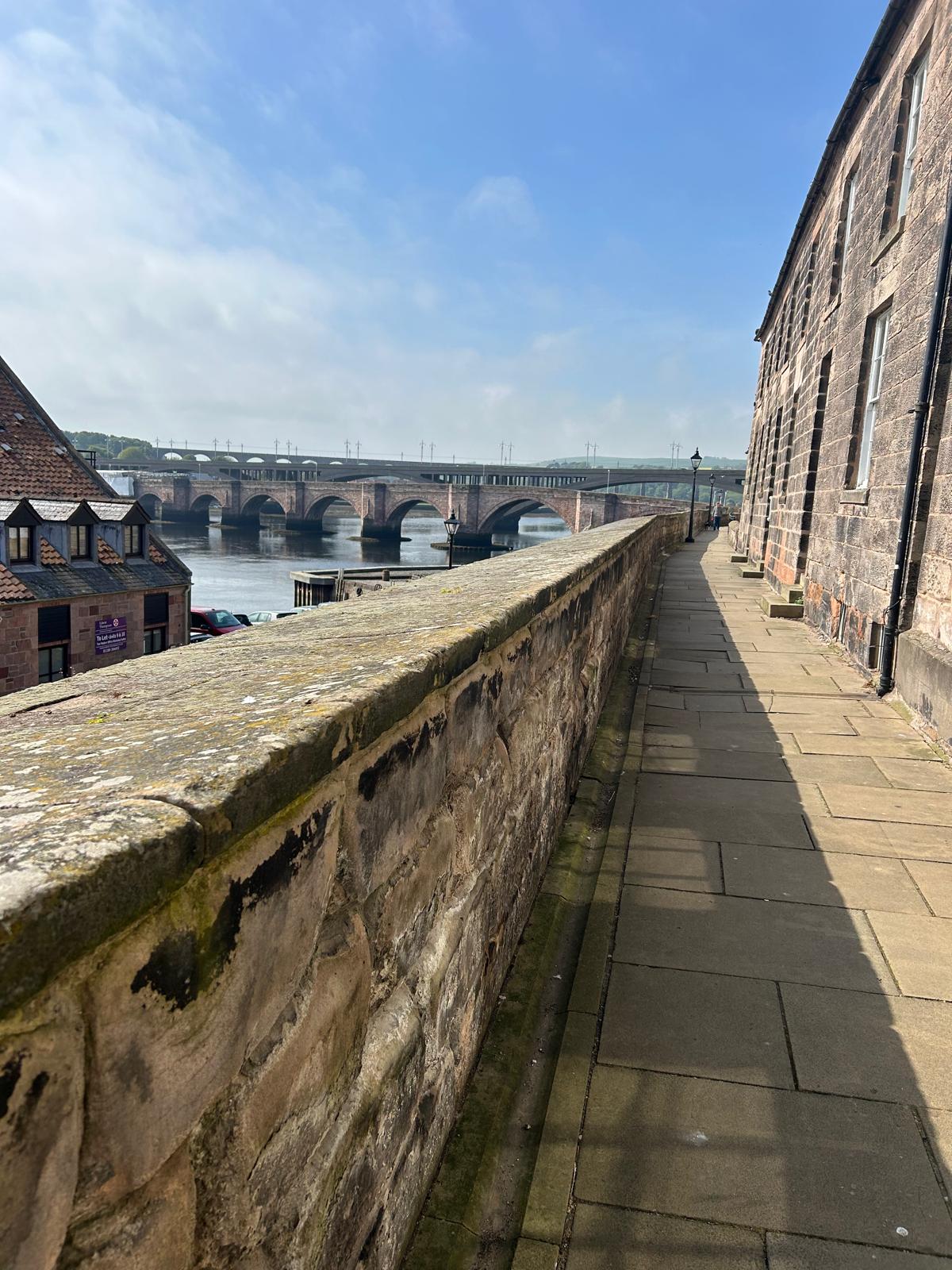
Day 70 May 18th: Bamburgh Holy island and Castle green

Below the old bridge over the Tweed in Berwick just coming up to its 400th year anniversary in July- older than America 😬
Where am i now
We missed out Holy island yesterday as the tides meant we could not cross the causeway. Heading back today early to catch the right tide. Today will be something of a mission as weed to carry the rucksack with the arm injury and cover 23-24 miles. Thankfully the weather is on our side and this north east coast so far has been wondaful if a little sparsely populated. Probably have the best of it rather than in early March when we began on the Hampshire / Dorset border ( we don't miss the mud!)
5/16/2024 8:31:15 PM
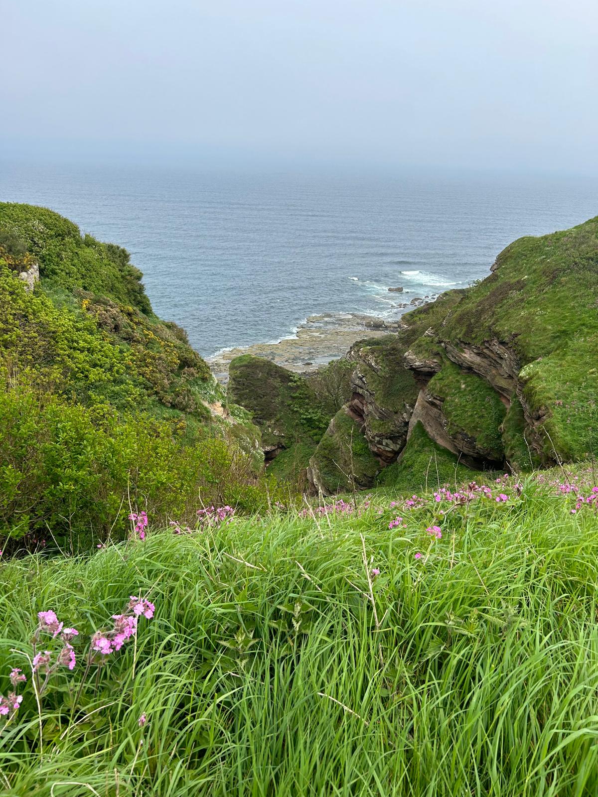
Day 69 May 17: Berwick on Tweed to Holy island (Lindisfarne)


Where am i now
A full walk down to the coast of 20 miles or so heading to Lindisfarne which is also known as Holy Island. The island is an Area of Outstanding Natural Beauty and a hotspot for historical tourism and bird watching. We are looking forward to it but it will be a test of the new reduced arm mobility.
5/16/2024 8:21:29 AM
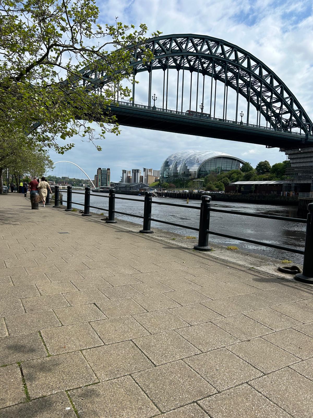
Day 68 May 15th: Newcastle to Berwick on Tweed
Following our day trip into Newcastle today we go via train to Berwick on Tweed. Taking a few days to travel north as the old fella rests his fractured arm. Hopefully heading South down the East coast and taking in the sights of Northumberland. Well we headed up to the Scottish border and walked back down to Berwick to complete that section, All good so far
Where am i now
5/15/2024 11:22:34 AM
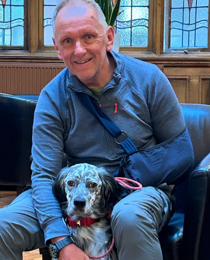
Day 67 May 15th: Carlisle to Newcastle (heading for Berwick on Tweed)

Leaving Carlisle today. Thanks very much to Kerry, Amanda and all of the team at the Crown & Mitre who have looked after us both during our unplanned extended stay
Where am i now
And The Answer Is - a fracture of my radius bone at the elbow. Good news is the hospital are not going to put me in plaster, but I need to keep it in the sling but keep it moving as the pain allows. This has made my decision not to cross Hadrian's Wall as accommodation at short notice is tough and I want to move on from Carlisle. So over the next couple of days we are making our way via public transport to Berwick On Tweed via Newcastle where hopefully in a day or two we can walk without a rucksack and see how we get on! Back for the “wall” another time (anyone who wants to join me will be welcome). Thank you all for your messages and calls it’s really appreciated. Nick
5/14/2024 7:34:55 AM
Day 66 May 14th: A mishap and back to Carlisle general hospital
Yes the rumours are true, we had a mishap on the path and my foot made an acquaintance with a camouflaged tree root. Awaiting results of an Xray on the Left arm. In the meantime, Louis is looking to enlist some help carrying the rucksack.
Where am i now
Well I guess it was inevitable we would have a mishap and so it was! Caught my foot on tree root and went flying. The outcome according to A&E was inconclusive, The Xray was not clear and we think there is an arm radius fracture. Whether it needs plastering up or just a sling, we are awaiting feedback from orthopaedics. We want to keep marching on and will do all we can to do so. We don't really want to take a break so we may need to ask for volunteers to help us across Hadrian's wall walk Louis and transport our rucksack. Any local volunteers, get in touch on our Facebook messenger or 07909 537139.
5/13/2024 6:22:02 AM
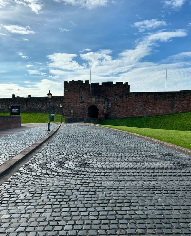
Day 65 May 13th: Carlisle to Brampton


Where am i now
Today we are heading along the path of Hadrian's wall having spent the night in Carlisle. This Cathedral City has so much history going back at least to ad73 and probable before that. I have included the link to the Wikipedia page if you want to learn more as there is veritable treasure trove of information regarding this area. For now we press on to Brampton heading east. Carlisle History Link
5/12/2024 5:57:50 AM
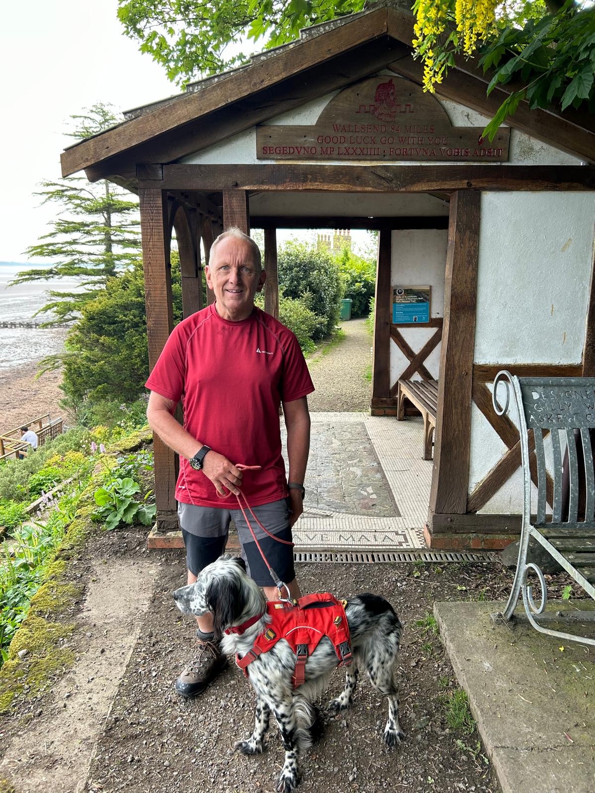
Day 64 May 12th: Bowness-on-Solway to Carlisle
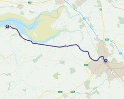
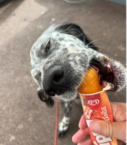
Where am i now
A nod to the good people of Northwest coast . Our trip today is from Bowness-on-Solway to Carlisle to rest up for a day before heading out Along Hadrian's Wall.
5/11/2024 6:32:43 AM
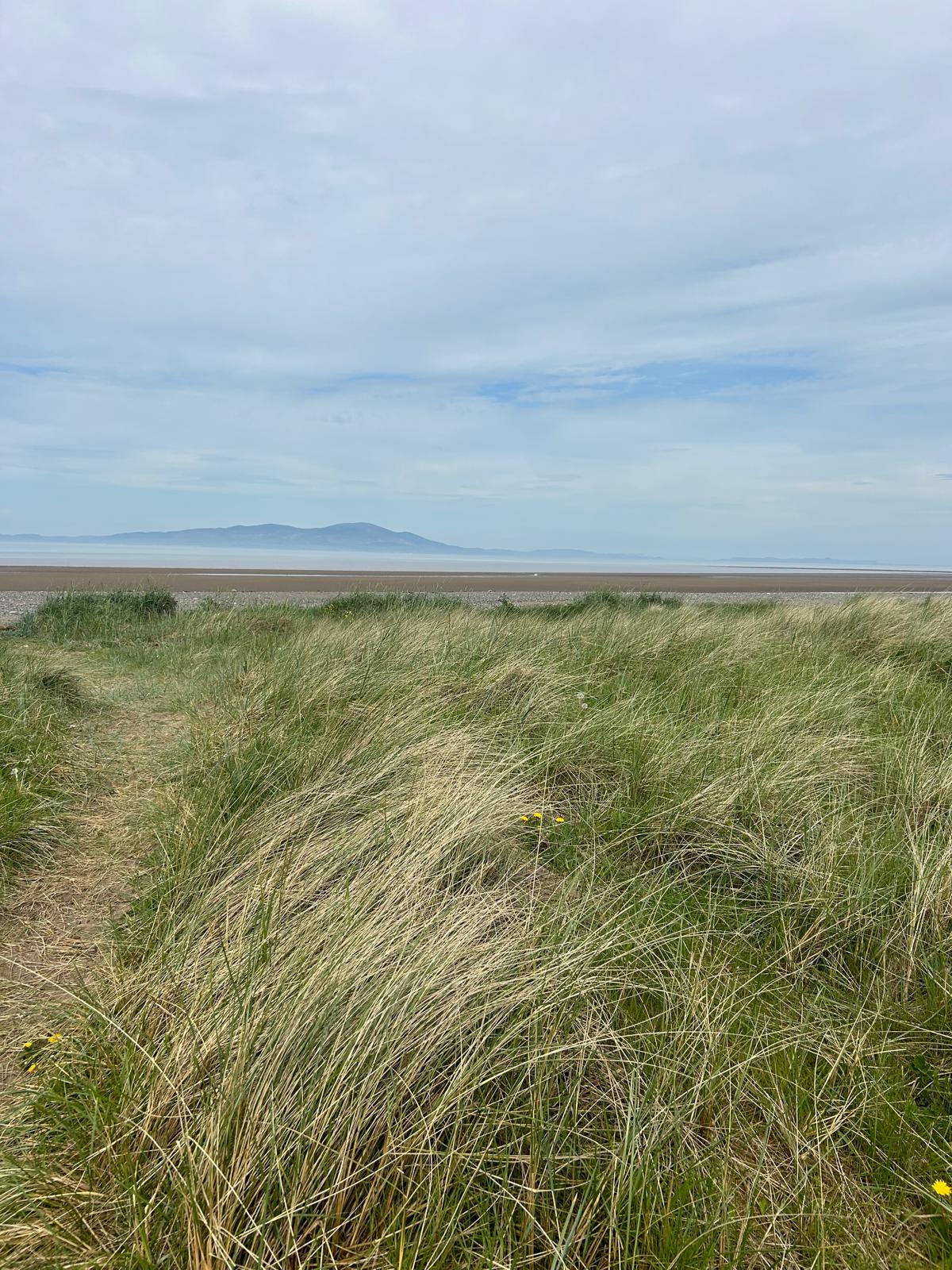
Day 63 May 11th: Silloth to Bowness-on-Solway
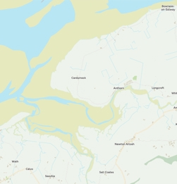
Where am i now
This is the view out to Dumfries Scotland across the Solway Firth. We have had some super weather and being able to see Scotland like this has been a real treat. We will be heading for Bowness-on-Solway today as this is the start in Hadrian's wall. We will be re-gathering equipment and preparing to cross from the Irish sea West coast to the North Sea East Coast. More updates will be forthcoming over the weekend.
5/10/2024 6:57:49 AM
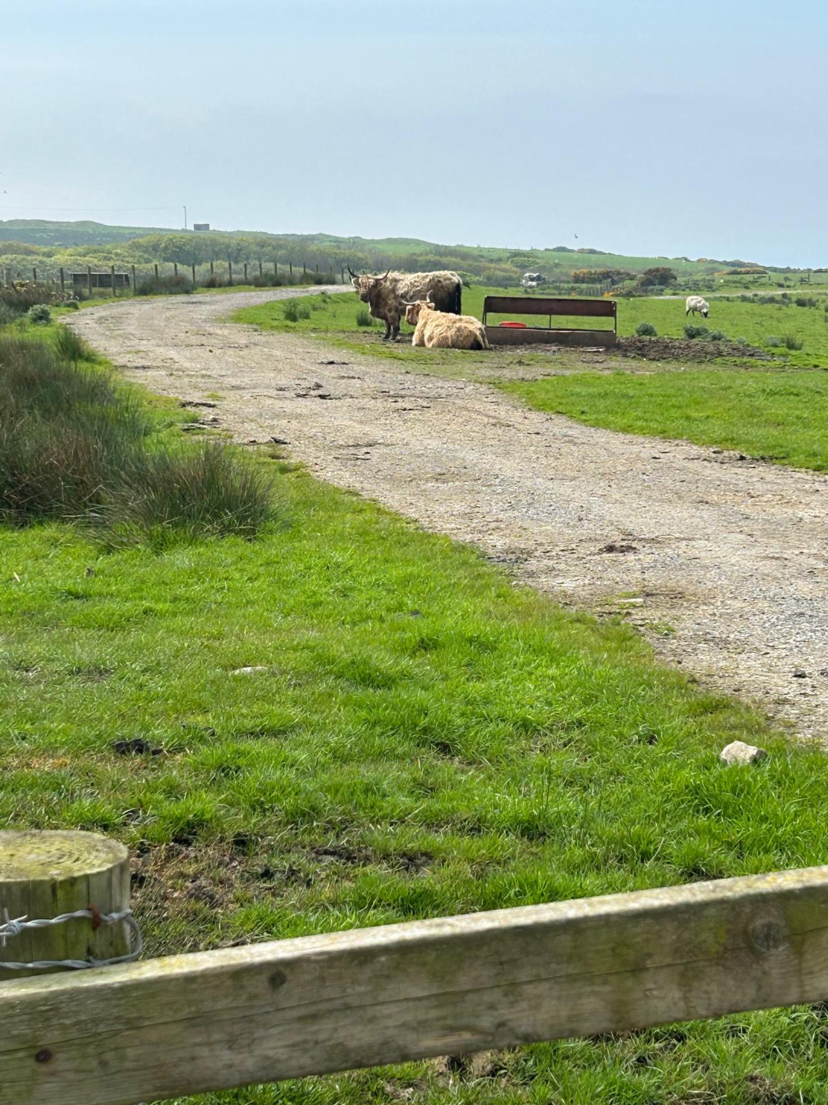
Day 62 May 10th: Maryport to Silloth


Where am i now
Todays route is from Maryport to Silloth on the Solway Firth. Maryport was established around 122 as one of several Roman localities called Alauna. It was a command and supply base for the coastal defences at the western extremity of Hadrian's Wall. The town contains substantial remains of the Roman fort, which was the last in a series that stretched southwards along the coast from the wall to prevent it being avoided by crossing the Solway Firth. Once called Ellenfoot due to the river Ellen. Just across the Solway Firth is the Scottish Town of Dumfries
5/9/2024 5:33:05 AM
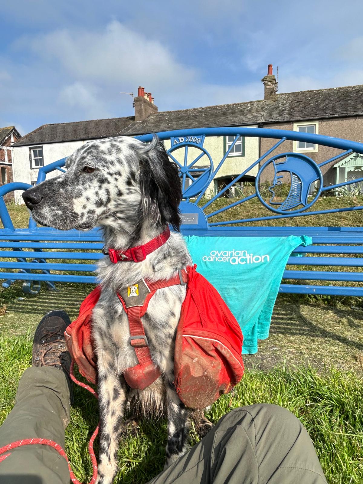
Day 61 May 9th: Whitehaven to Workington


Where am i now
Whitehaven to Workington today. Been doing our bit for Ovarian cancer awareness day with what we had to hand. The place-name Workington is first attested in an Anglo-Saxon charter of 946, as Wurcingtun. It appears as Wirchingetona in about 1150, meaning "the town or settlement of Weorc or Wirc's people". One can only admire and respect the long history of this Cumbria Coast.
Actually we went a little further today as the weather was good and got to Maryport
5/8/2024 6:52:10 AM
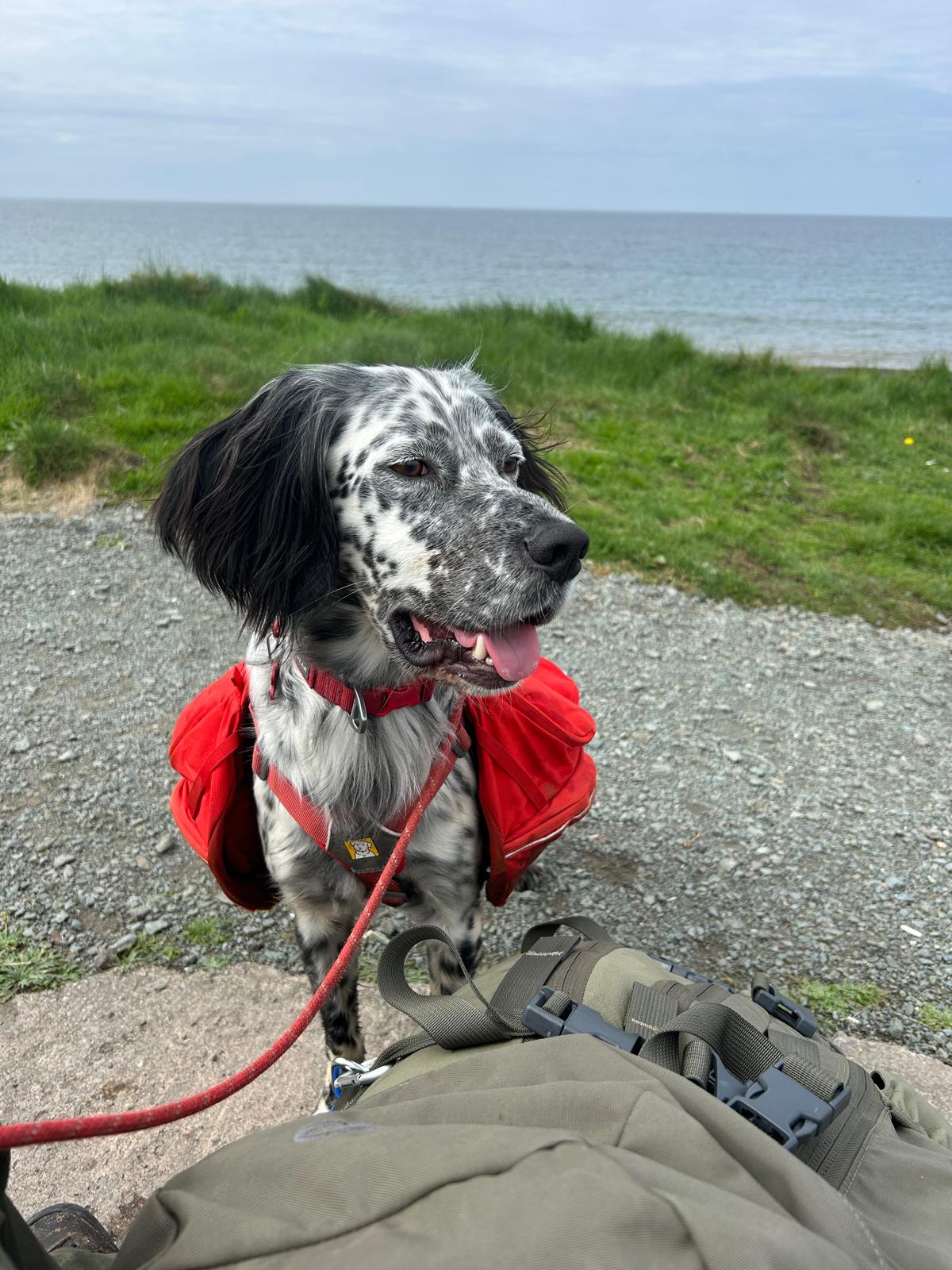
Day 60 May 8th: Seascale to Whitehaven


Where am i now
Today we leave from Seascale, an internationally important site of the nuclear material processing along the coast to Whitehaven. A little research revealed a fascinating history. Whitehaven town on the west coast of Cumbria was was a busy port for coal and trade, but its rich history goes back to at least the 10th century. The history of Whitehaven and its importance to trade is not well known but it was in some respects bigger than Liverpool or Bristol in the past until the need for deep water docks. to read more look at this Wikipedia link
5/7/2024 5:13:52 AM
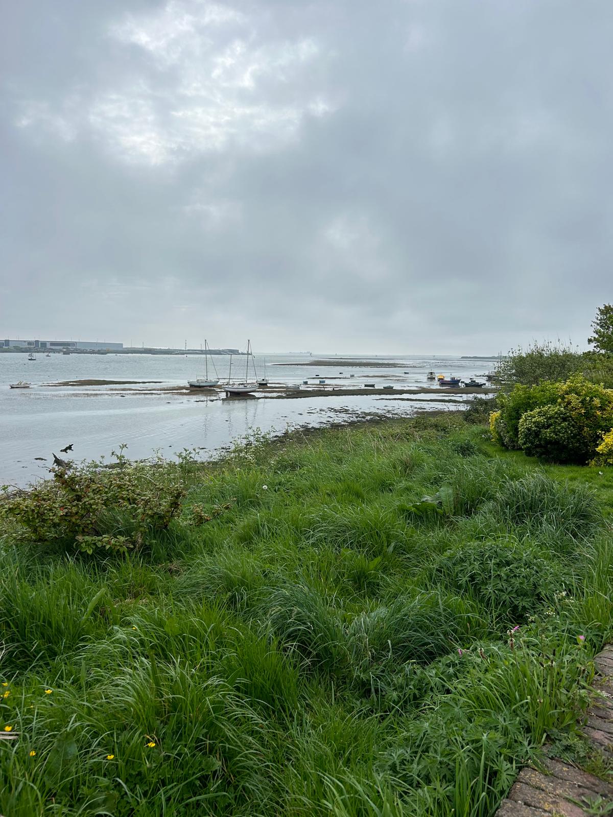
Day 59 May 7th: Millom to Ravenglass via Bootle

Where am i now
Todays route takes us from Millom to Bootle in Cumbria. Although it shares a name with the Bootle (derived from the old word Bodele meaning "building") area in Merseyside, They are very different. Bootle is listed in the Domesday Book as one of the townships forming the Manor of Hougun. Bootle was the furthest point to which the Normans penetrated into Cumberland. They did infiltrate further north into land held by British Celts or those places already settled by the Norse from Ireland, Isle of Man or Scotland. Ravenglass is a coastal village in that lies between Barrow-in-Furness and Whitehaven, on the estuary of three rivers: the Esk, Mite and Irt. It is the only coastal village in the Lake District National Park
5/6/2024 6:57:54 AM
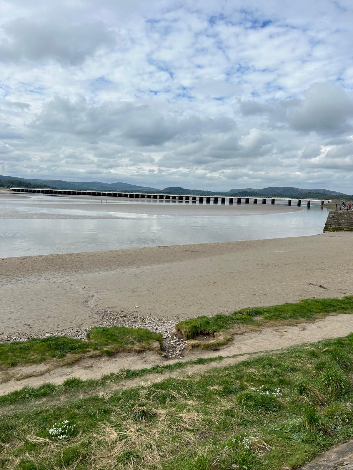
Day 58 May 6th: Arnside to Barrow in Furness

Where am i now
Today we are in Cumbria proper and unusually, a circular route to enable us to cover this part of coast. We will need to cross over the estuary to get to Millom for tomorrow so we will see if the terrain allows us to move quickly. some sections yesterday were tough on paws. We are both being careful to avoid any injuries. Sometimes you have to go backwards to go forwards when the paths are not clear. Barrow is an interesting place, The name was originally that of an island, Barrai, which can be traced back to 1190 so It meant that Barrow island in the area of Furness,
5/5/2024 5:59:12 AM
Day 57 May 5th: Heysham to Arnside


Where am i now
Starting in Heysham and finishing in Carnforth before heading out to Barrow In Furness and avoid the risk of the treacherous mud flats and uncharted sands
5/4/2024 2:47:42 AM
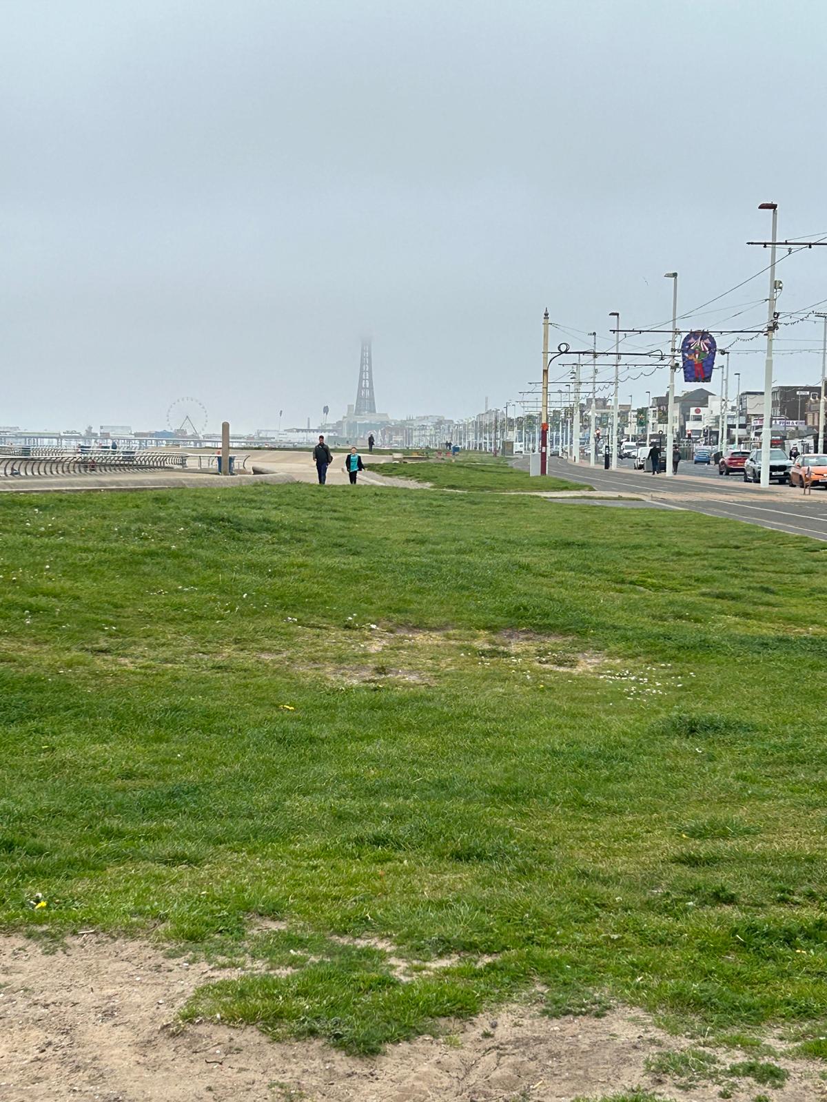

5/3/2024 5:53:24 AM
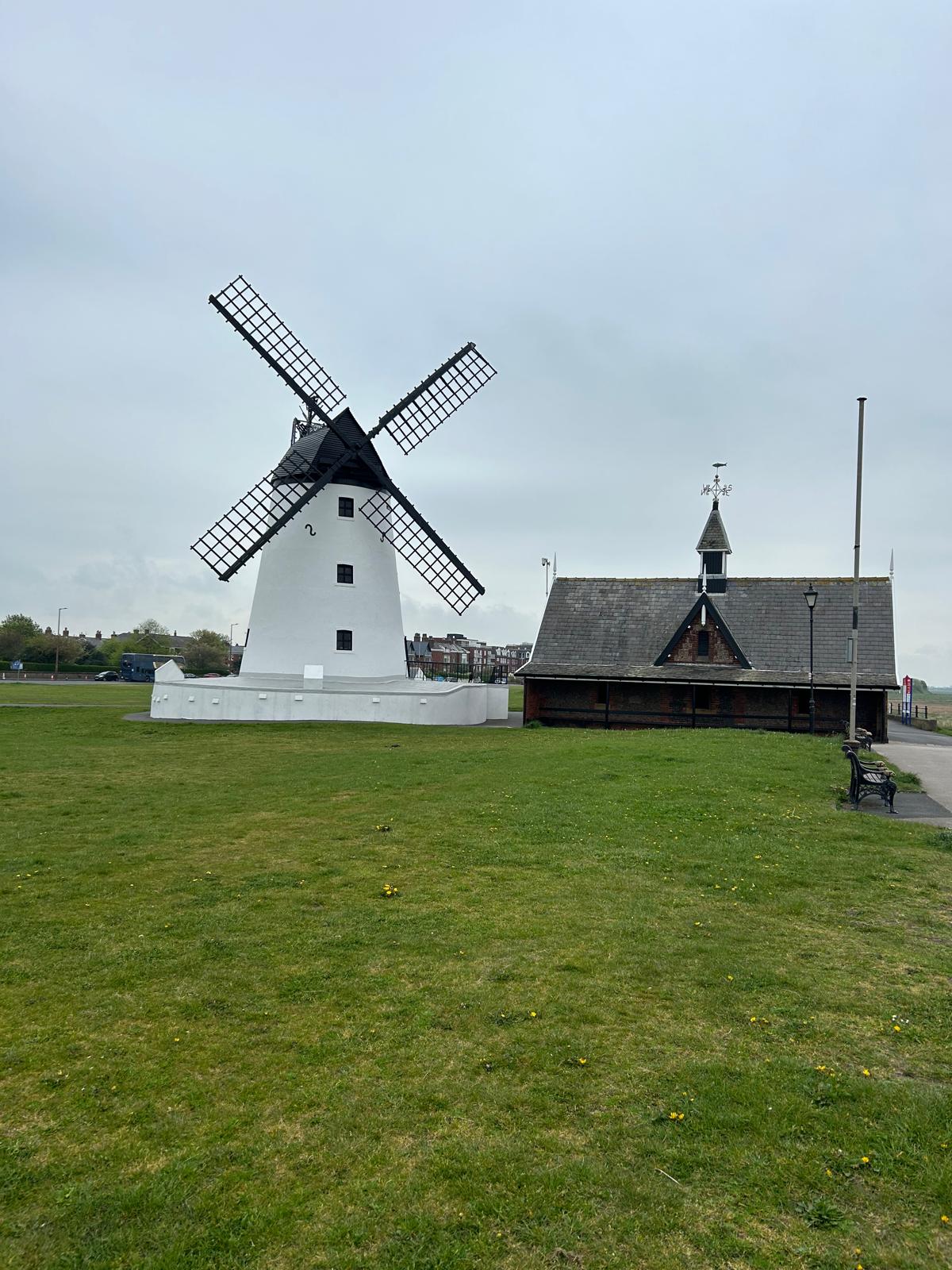
Day 55 May 3rd: Freckleton to Blackpool Central
We are excited to be reaching Blackpool today. On of the great English coastal resorts, renown for its pleasure beach and world famous for its ballroom full of Victorian architectural splendour.
We just reached Lytham St Annes Pier which is home of the giant chocolate éclair Fantastic!
Where am i now
We crossed the Ribble yesterday and start from Freckleton on the North bank of the river. We will then head towards Lytham and Lytham St Annes before coming into Blackpool. This means we have visited 3 counties in three days, Cheshire, Merseyside and now Lancashire. We now have a lot of Lancashire coastline and then Cumbria to cover before heading East along Hadrian's wall to the East coast starting at Berwick on Tweed.
5/1/2024 9:11:09 PM
Day 54 May 2nd: Southport to Tarleton

Where am i now
We are heading to Hesketh bank (end of English coastal path) and then Preston to be able to get over the river Ribble and onto the route to Lytham and Blackpool. Its around 14 miles long walk around. We are now up to 709 miles walked since the start so we are approaching 25% of the distance covered so far. A long way to go yet! The good news is that we have raised over £16,111 raised to date so 32% of out target thanks to the generosity of all that have become aware of us.
5/1/2024 6:37:49 AM
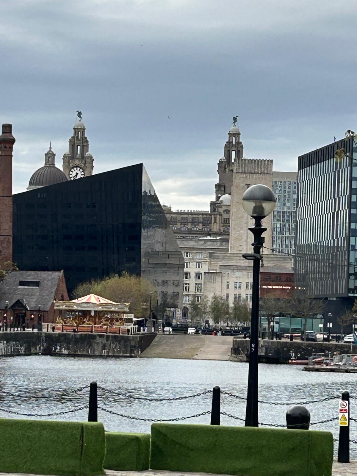
Day 53 May 1st: Liverpool to Southport
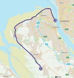
Todays route is just under 22 miles (one of our longer routes!)


Crosby beach

Where am i now
We made it to Liverpool yesterday and what a great city it is. It was made a European city of culture in 2008. The skyline of the city is impressive as its history. Today we plan to go om to Southport and in doing so, will go over the 700 miles walked. The distance from Great Britain’s northernmost point in Dunnet Head, Scotland, to Lizard Point, its southernmost point, is approximately 600 miles.
4/30/2024 6:15:45 AM
Day 52 April 30th Neston to Birkenhead

Where am i now
Yesterday was our last day south of Wales and we have travelled to England's North west coast which begins in the county of Cheshire. Our start point is Neston and we will travel just over 18 miles to get to our rest stop near Birkenhead ready to cross the River Mersey into Liverpool.
For those wondering who featured in the main picture this morning. These are our friends at BCPR technologies, Rob Alcock (another old fella), and Mike Prior ( who has joined on several walks along the way.)
4/24/2024 3:59:45 AM
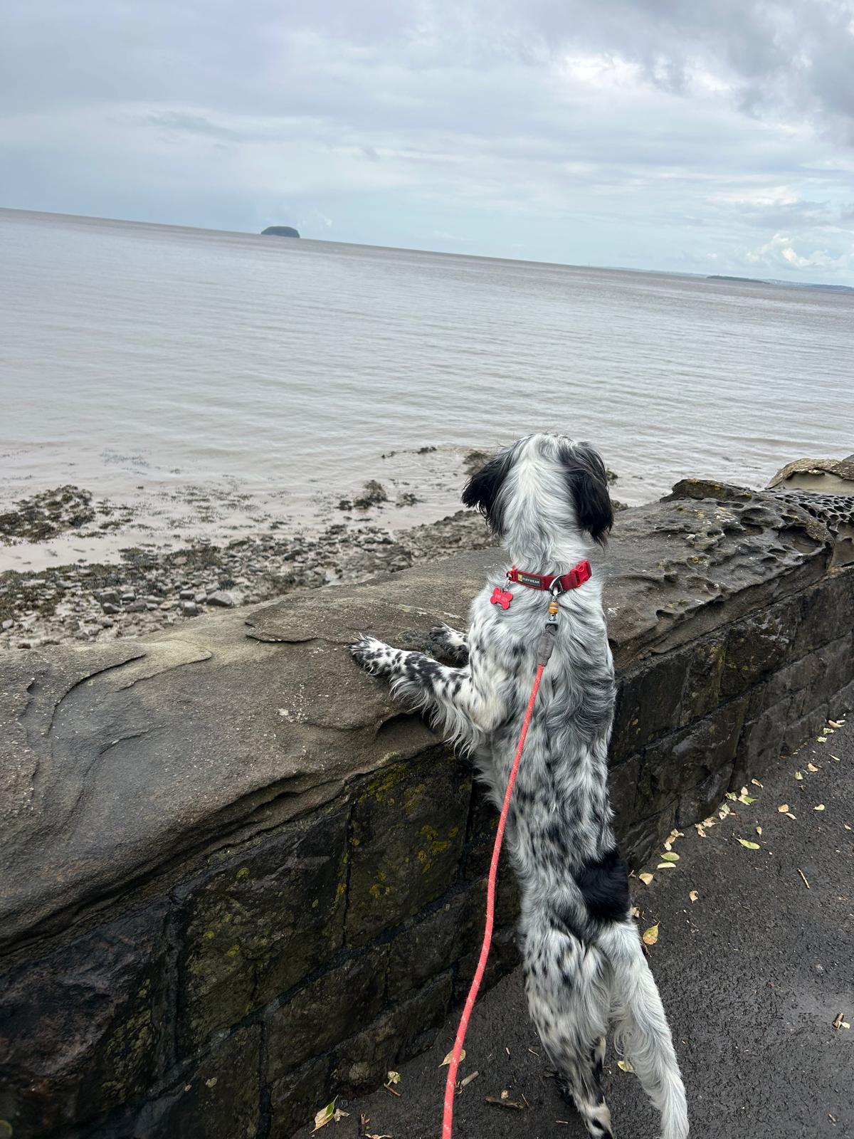
Day 45- 51 24th to 29th April: a few rest days preparing the next leg logistics
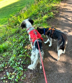

Where am i now
Having a rest and preparing the logistics for our next leg up to Carlisle. Time to check equipment and make sure we are prepared.
4/23/2024 7:18:33 AM
Day 44 23rd April: Weston-Super Mare

Sea Sand and Estuary Mud
Where am i now
Weston-Super Mare is believed to derive its name from West town, large, by the sea. For us, to the north of the town is Sand Point which marks the upper limit of the Bristol Channel and the lower limit of the Severn Estuary. The area around the town has been occupied since the Iron Age. It was still a small village until the 19th century when it developed as a seaside resort. A particularly favoured by people in the Victorian age when a railway station and piers were built.
4/22/2024 7:05:42 AM
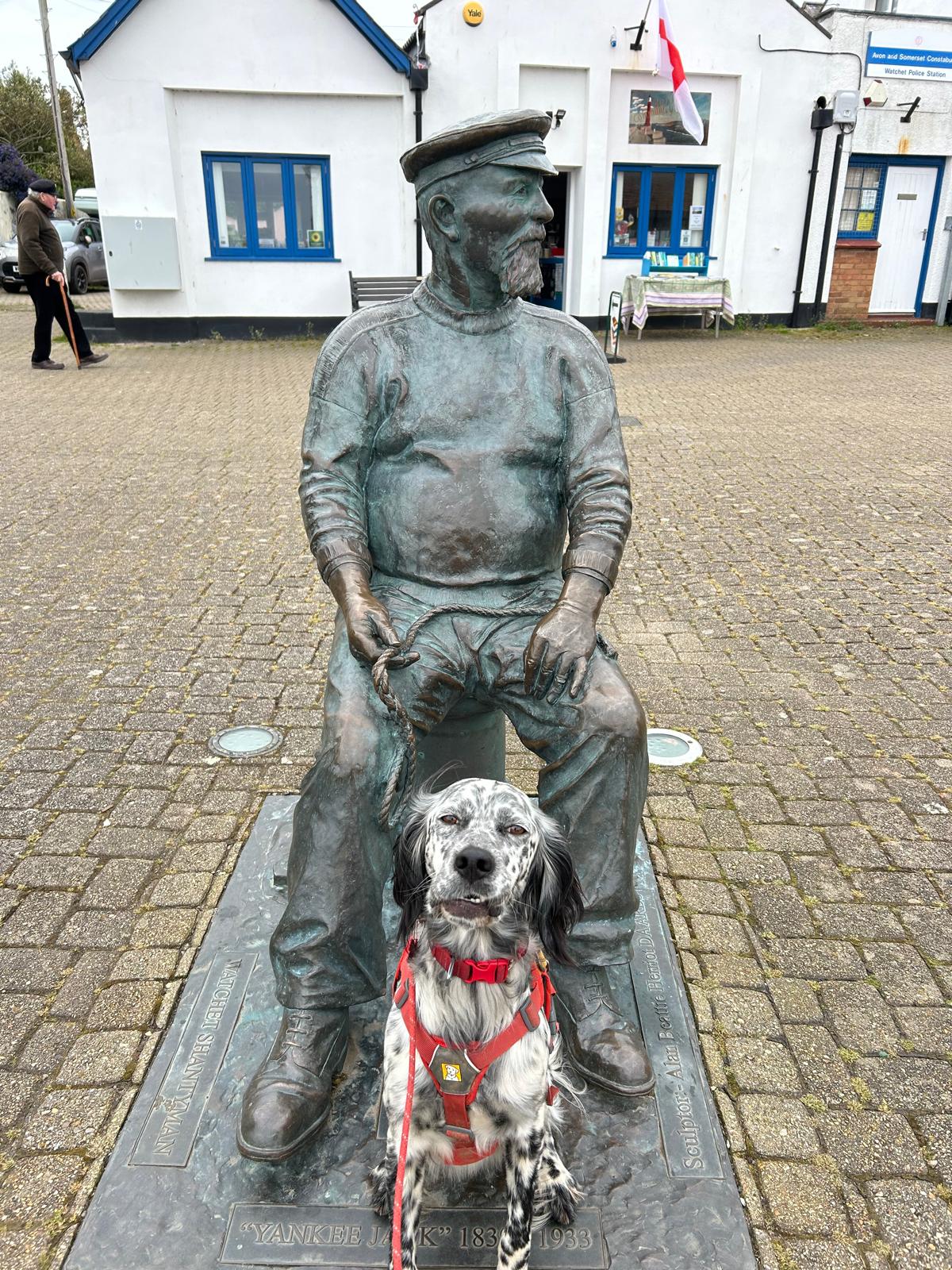
Day 43 April 22nd: Burnham on sea to Weston Super Mare

Where am i now
For all those who were wondering who Louis was posing rather well with.. Its Yankee Jack who is to be remembered for his shanties. 1838 -1933
We are closing in on the major milestone of completing walking the south west counties Dorset, Devon ,Cornwall and Somerset. The terrain is flatter and there has been is a definite estuary look to the sea. We will complete this stage this week, take a few days to recover before setting off for Cheshire.
4/21/2024 7:44:46 AM
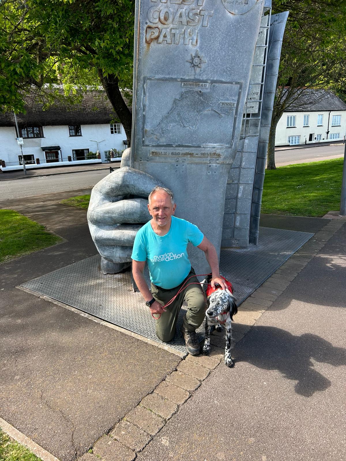
Day 42 21st April: Minehead to Hinckley
We are off to Hinckley area today today having completed the Southwest path, We now join the West Somerset coast path. A quick shout out to the Muddy Maids.


Where am i now
We ended the Southwest coast path with a lovely sunny Day. The weather looks like it will hold so we will press on to the Hinckley area with the next major target t of Weston Super Mare (WSM)
4/20/2024 7:41:30 AM
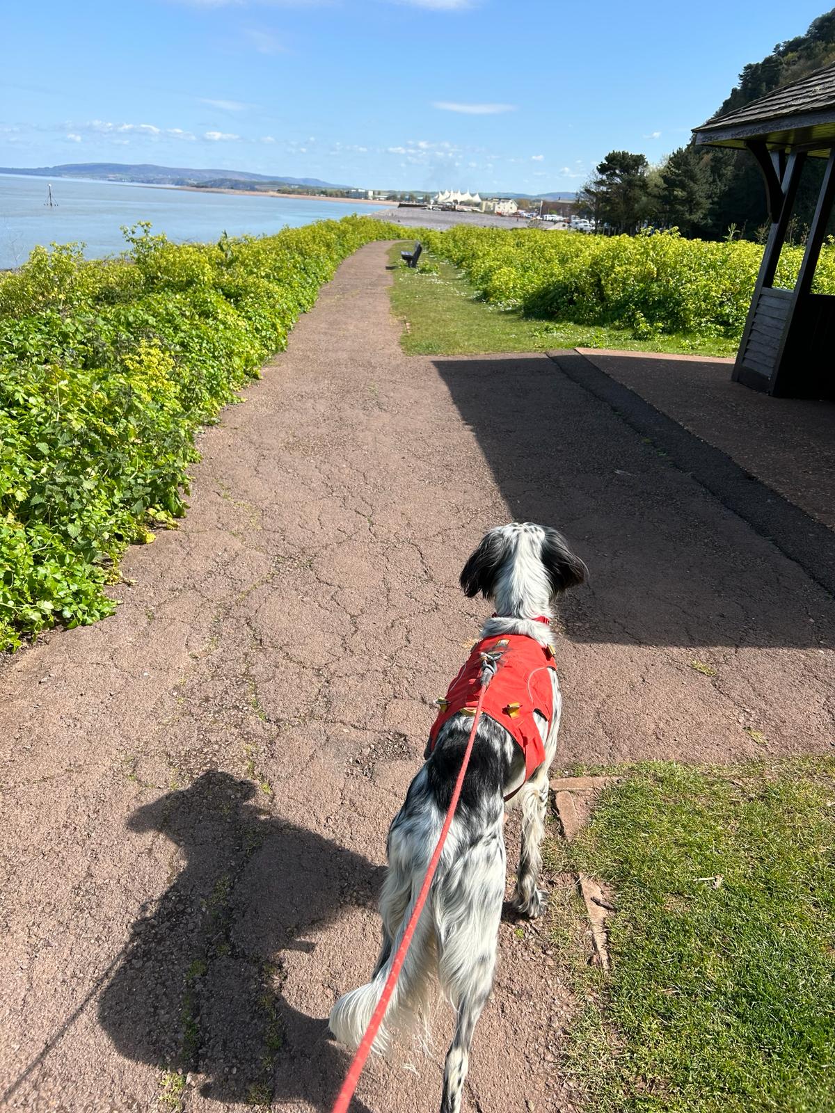
Day 41 20th April: Porlock to Minehead


Where am i now
Yesterday we passed though the last of our Devon experience to conclude our trips through Dorset, Devon South, Cornwall and Devon North. Devon certainly had some last treats for us, in particular yesterday around Lynton, Lynmouth and the 982 ft hill Foreland point. The border between the 2 counties is county gate, Well marked on the A39 road but as we are following the coast path, the transition was invisible as it should be.
4/19/2024 7:24:05 AM
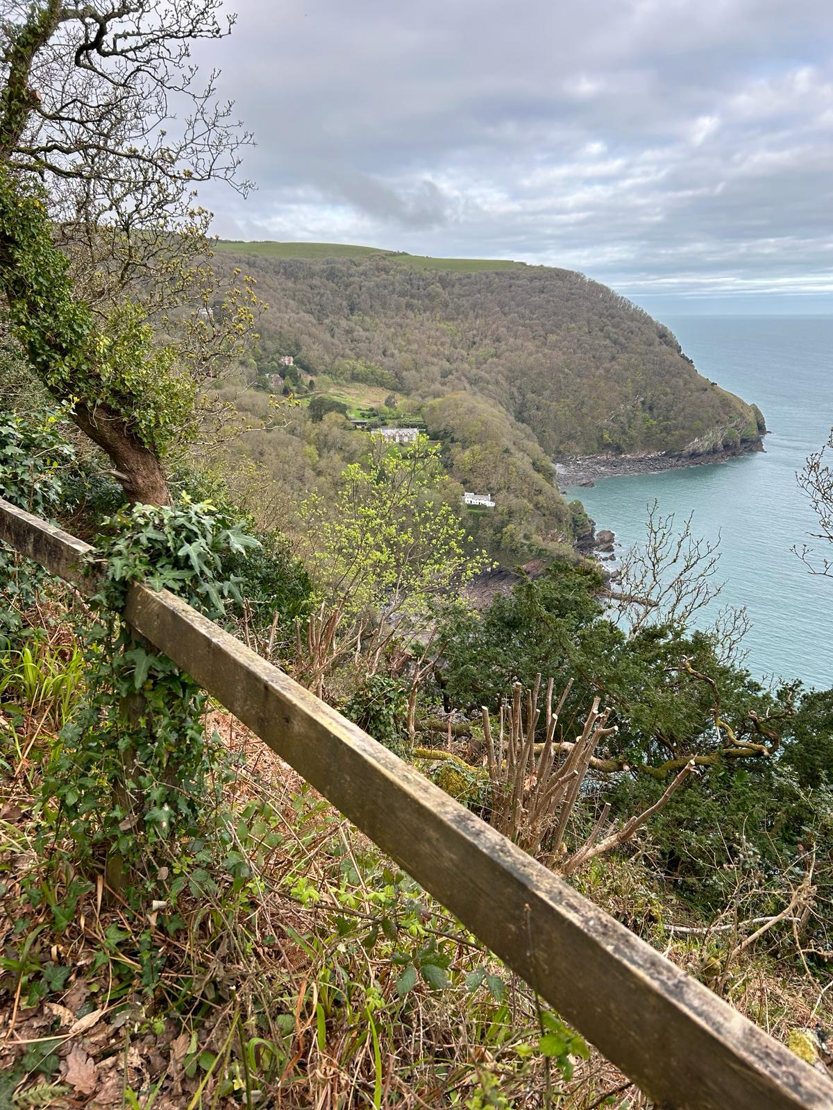
Day 40 19th April : Martinhoe to Porlock


Where am i now
Our route today takes us to Porlock
Porlock means enclosure by the harbour, In the Domesday Book the village was known as "Portloc". In 914 the Vikings plundered Porlock.
4/18/2024 7:15:51 AM
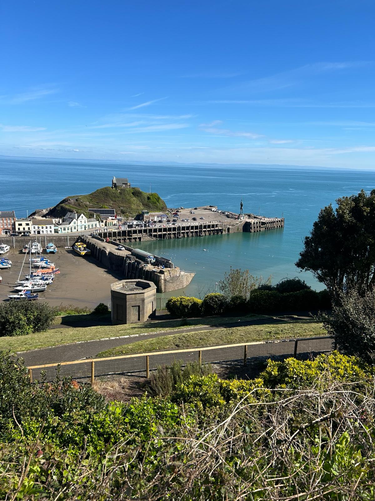
Day 39 18th April :Ilfracombe to Martinhoe


Where am i now
After such a good day yesterday following a rest day we will be striking out on one of the longer walks today Ilfracombe to Martinhoe. There is a lot of ascent today, That's around the height of Ben Nevis (1345m). and over 15 miles. This will be a real mission but the weather looks like it will be on our side. Louis will enjoy his dinner tonight but if anyone has some sausages for him on the route, I am sure he won't say no!
4/16/2024 7:57:54 PM
Day 38 17th April: Westward Ho! to Ilfracombe

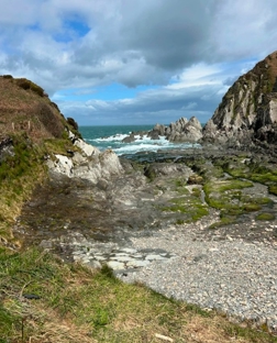
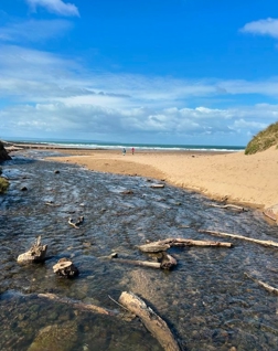
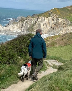
Where am i now
We are setting off this morning with the forecast that the weather is abating. Lets hope we can stay dry and out of the hailstones. Our destination was Bull point but with such lovely weather, we decided to press on to Ilfracombe.
4/15/2024 7:23:12 PM
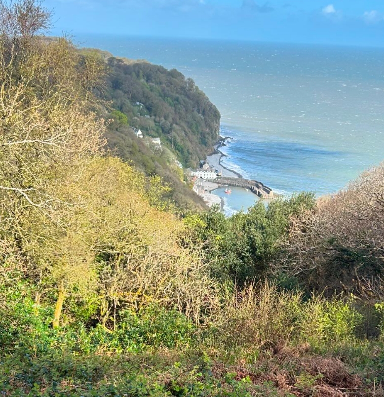
Day 37 16th April: Its a rest day. Pictures from yesterday
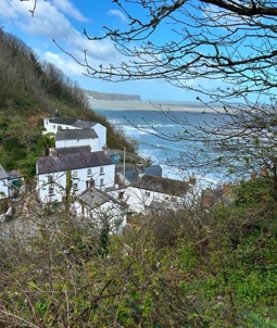
Where am i now
These are just a few of the picture we took yesterday leaving from Clovelly to Westward Ho! Today is a rest day to recover and take eat and sleep well ready to press onward on the 17th. Thanks to everyone for their kind donations taking us over the £1400 level today
4/14/2024 7:08:00 PM
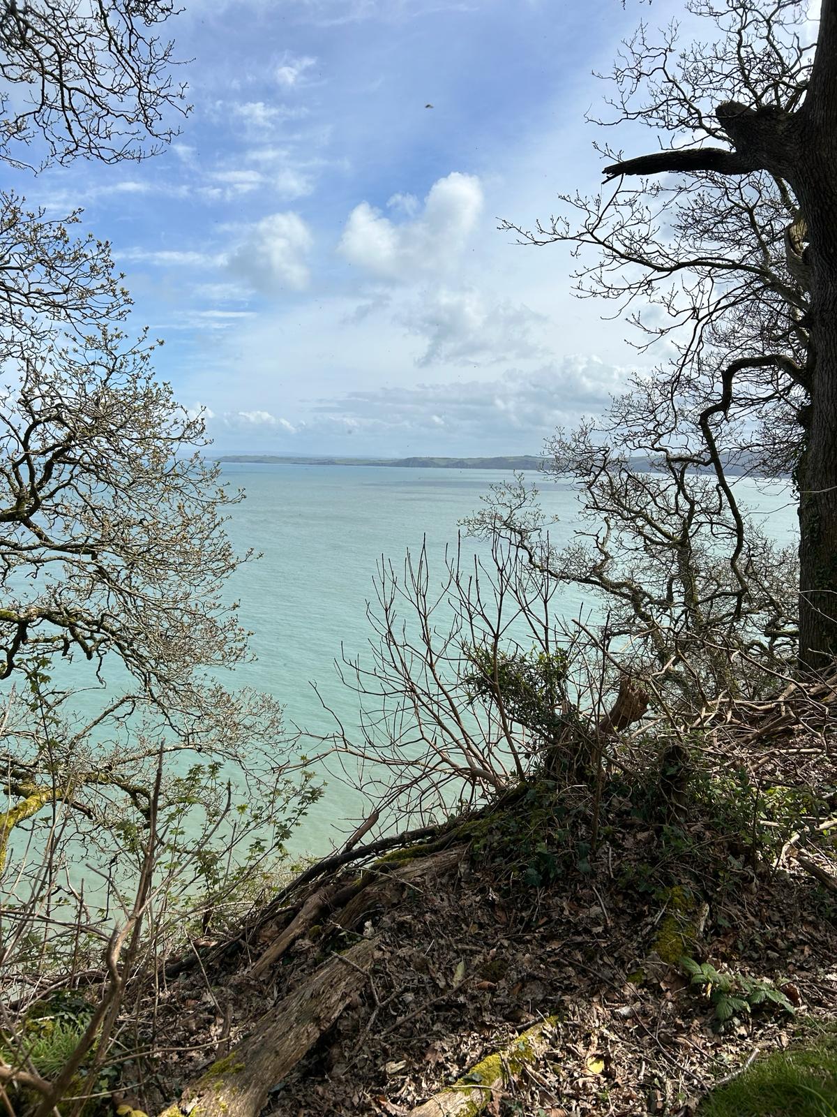
Day 36 15th April: Clovelly to Westward Ho!

Where am i now
Today we head out from the Clovelly area having spent the night in my good friend Adrian's mobile home. The feature picture shows the view from Clovelly across to westward Ho! Its around 11.5 miles by foot with 990 metres of ascent.
4/14/2024 7:12:53 AM
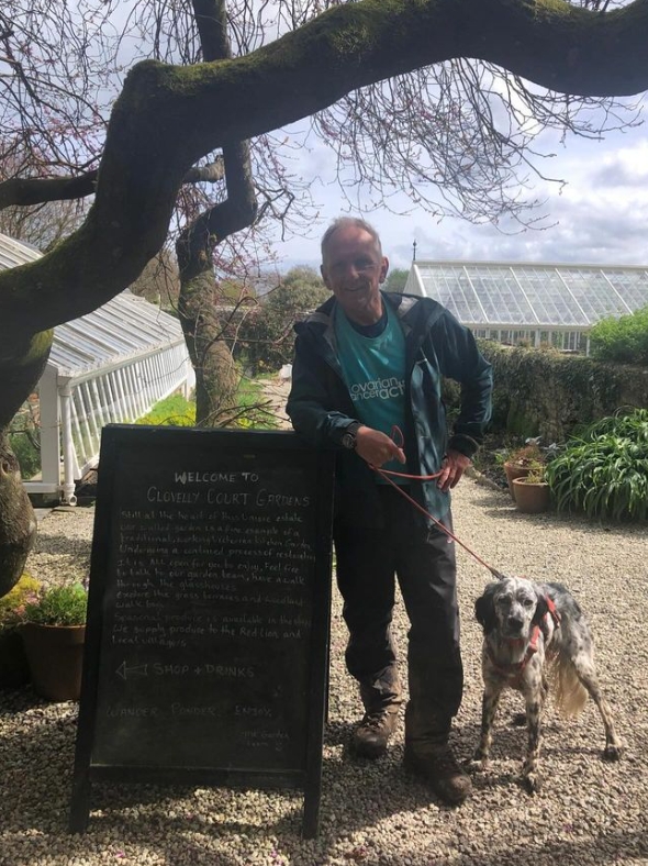
Day 35 April14th: Hartland Quay to Clovelly

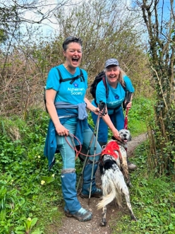
Where am i now
We are well into North Devon today and aiming for the historic village of Clovelly. once renown for the herring catch. Not for me, I'm allergic to fish!
4/13/2024 6:13:27 AM
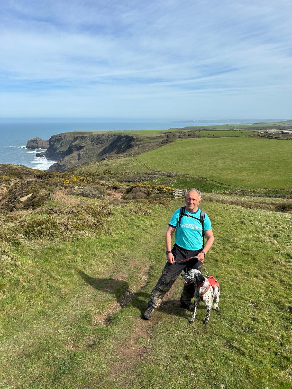
Day 34 April 13th: Widemouth Bay to Hartland Quay

Our route today takes us out of Cornwall. "ri farwell gans an leuv gromerci" we think that's Cornish for farewell and thanks.

“see you dreckly” Devon
Where am i now
Today's stretch is around 18.56 miles from Widemouth Bay to Hartland Quay not too far from Clovelly . That means we leave Cornwall and enter North Devon. Our last day was super with lovely weather to the point that It felt positively balmy.
4/12/2024 7:20:28 AM
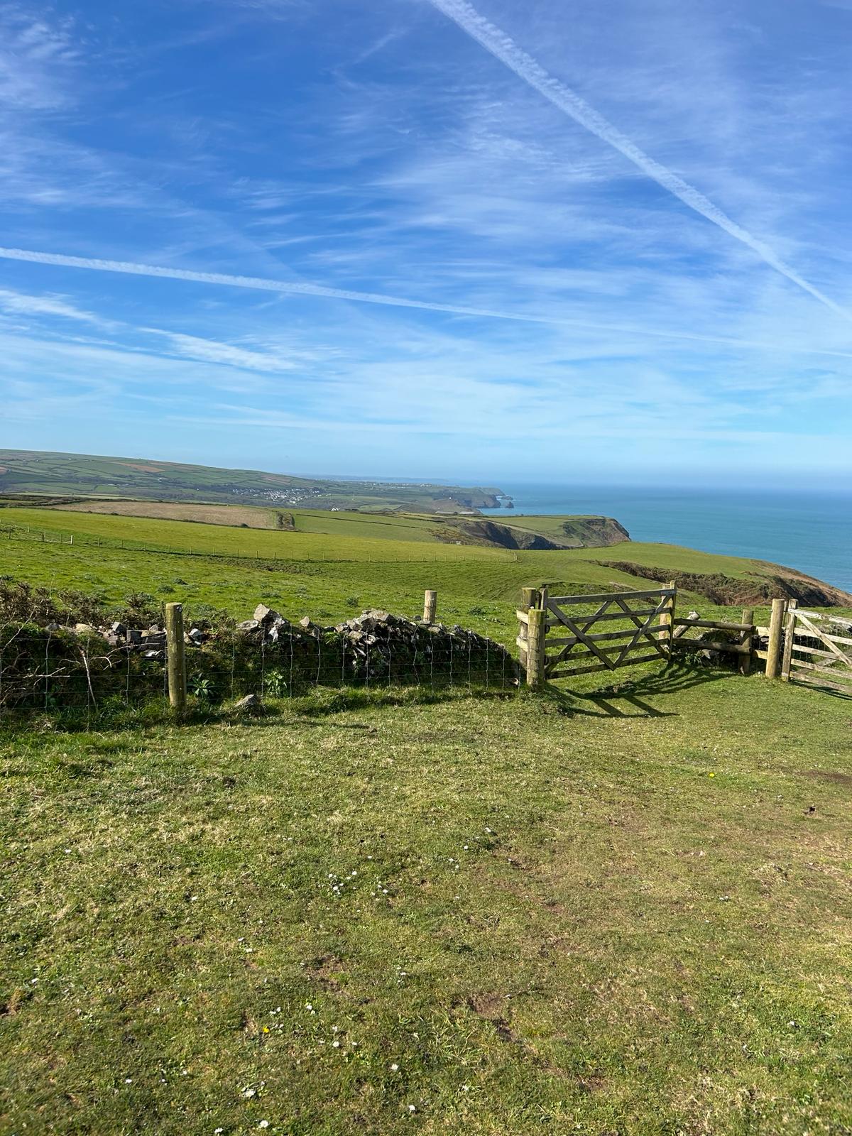
Day 33 April 12th: Boscastle to Widemouth Bay
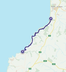
Today is likely to be the penultimate day in wonderful Cornwall

Crackington Haven: Lovely spot.
Where am i now
Looks like a much better day weather wise so we are hoping to get some good pictures for our Instagram and Facebook accounts. Thanks to all that are following those too!.
4/11/2024 6:33:26 AM
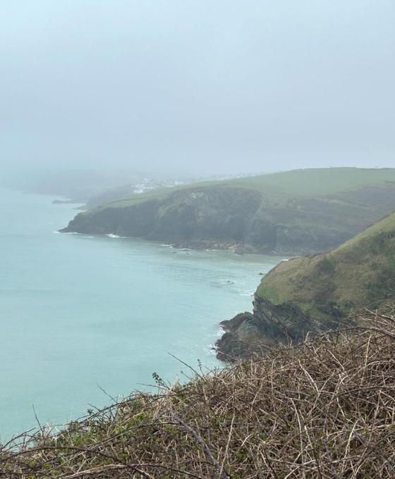
Day 32 April 11th: Port Gaverne to Boscastle

Where am i now
We are off to Boscastle today. The weather forecast is not much better than yesterday at 14c and over 1000m ascent ( and descent! ) to make. Another wet and tough day, mud and slippery rocks ahead!
4/9/2024 7:43:37 PM
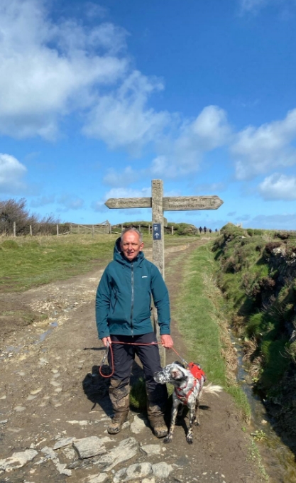
Day 31 April 10th: Harlyn to Port Gaverne


Where am i now
We are off to Port Gaverne via Padstow and New Polzeath today. Its fair march at Around 18 miles and we are hoping to miss the worst of the weather.
4/8/2024 8:19:34 PM
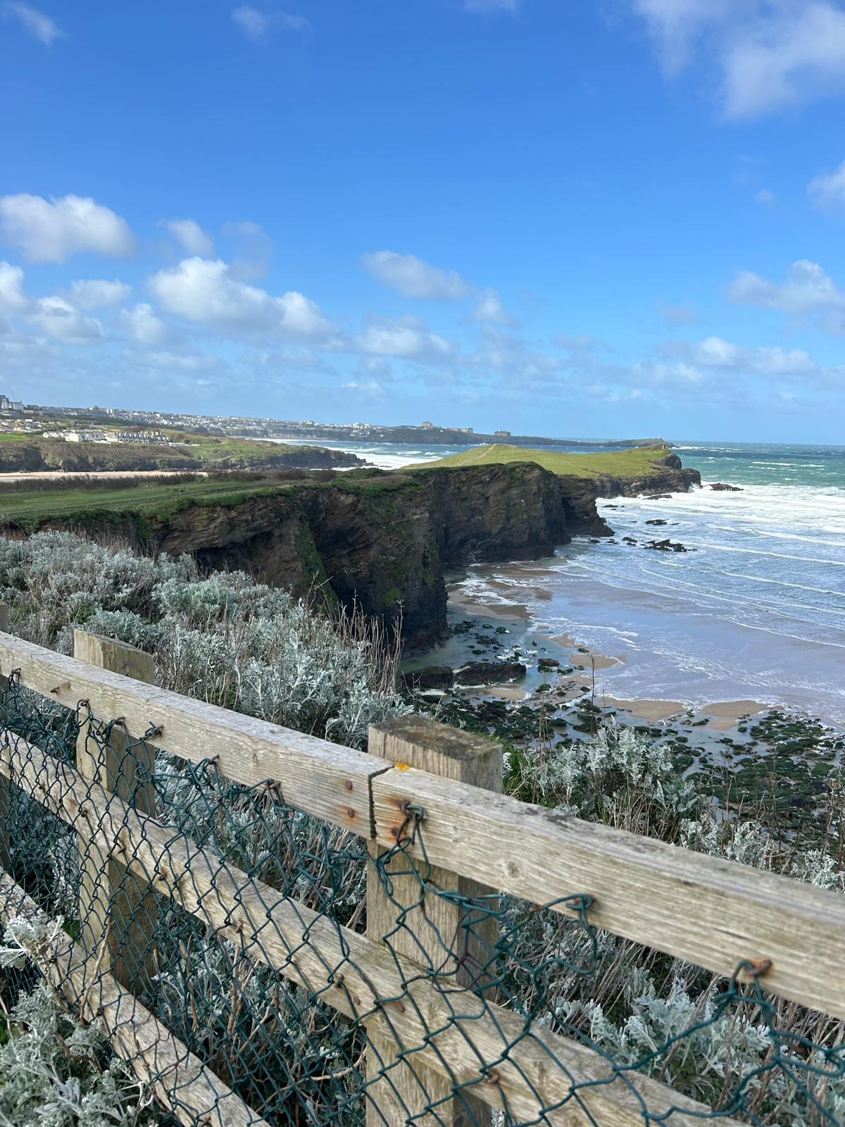
Day 30 April 9th: Newquay to Harlyn
As the weather was good for a change, We decided to press on so we are headed for Harlyn .
Newquay to Harlyn route map

Where am i now
4/7/2024 8:34:55 PM
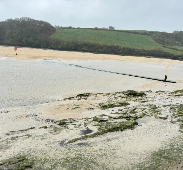
Day 29 April 8th: Perranporth to Newquay


Where am i now
Stunning beaches and scenery along this stretch . We hope the weather is kind to us and we can take in the beauty of the area. The sand dunes we are encountering are huge and up to 190 feet high. We made it across the Gannel estuary at low tide without getting too wet and got to Newquay for a well earned rest. My word we have had some weather lately. We will really appreciate a rest day tomorrow.
4/7/2024 6:36:30 AM
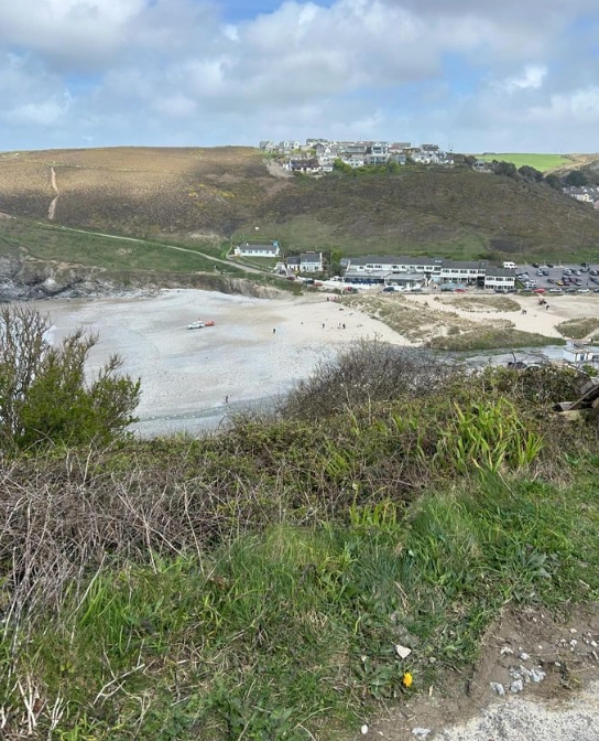
Day 28 April 7th: Porthtowan to Perranporth
Porthtowan to Perranporth
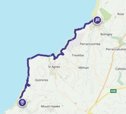

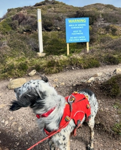
Where am i now
One of the trips Rob has particularly looked forward to seeing are the sections leading up to Perranporth and onto Newquay. There is a path between Rose and Perranporth that passes by old mining buildings where owls call eerily in the fading evening light and bats flutter across and around the path. Its the area where many a childhood memories have been made. Long car journeys that end with the magical North Cornish coast. It seemed like a distant land ( 3 kids in a Morris minor or VW beetle for 5 hours certainly felt like it!)
Crantock beach is still a family favourite.
4/5/2024 8:22:27 PM
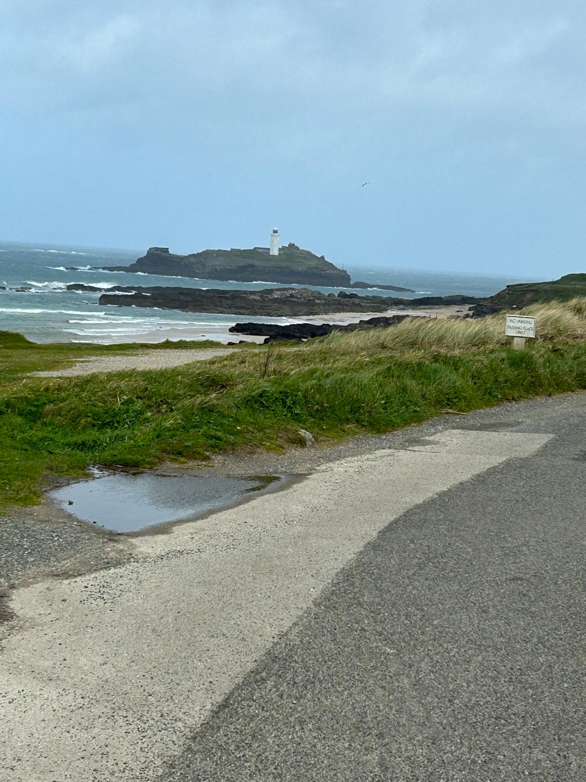
Day 27 April 6th: Hayle to Porthtowan


Where am i now
Porthtowan has a strong community spirit. a wealth of history and a beach that whispers of the ghosts of Sailors past. It is said never tread near where a ship has foundered. I think we will take that advice and respect all that set out on the wild north coast.
4/4/2024 4:21:11 PM
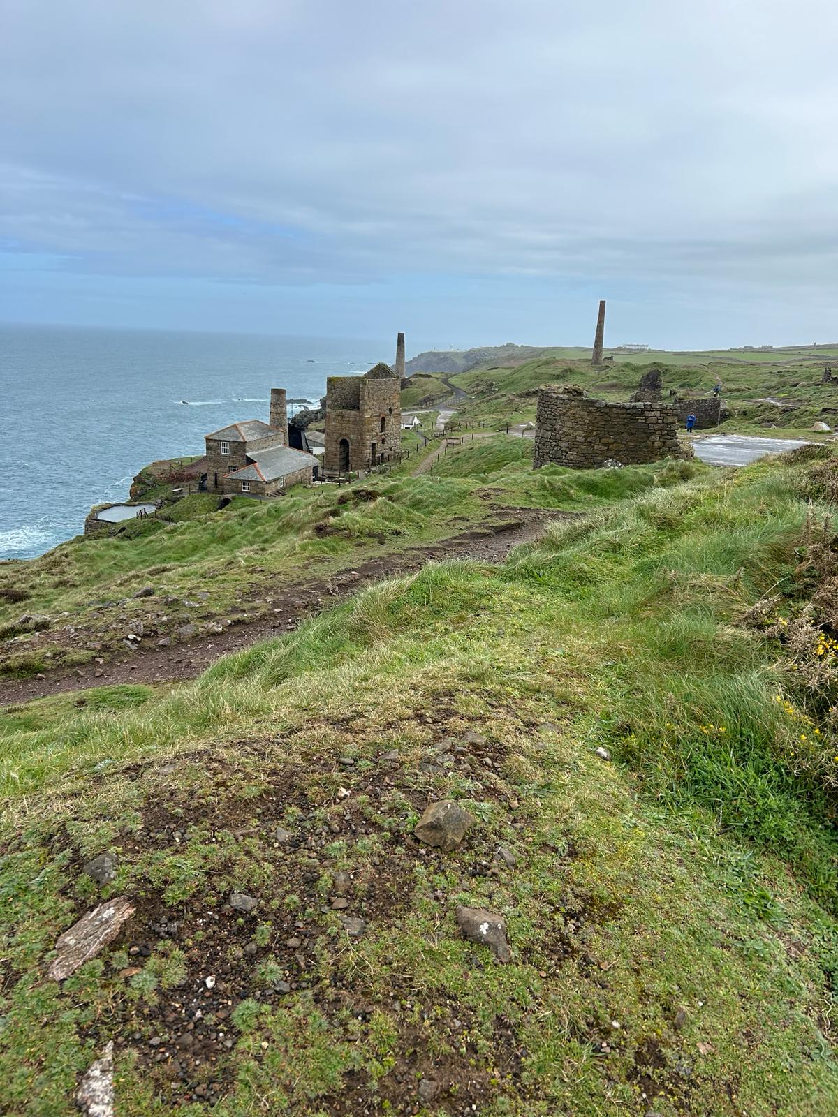
Day 26 April 5th: Trewey to Porth Kidney and Hayle via St Ives

Our route for the Friday the 5th of April passes through St Ive's and ends near Hayle
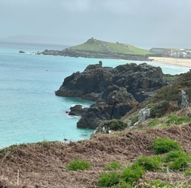
Where am i now
4/3/2024 8:06:04 PM
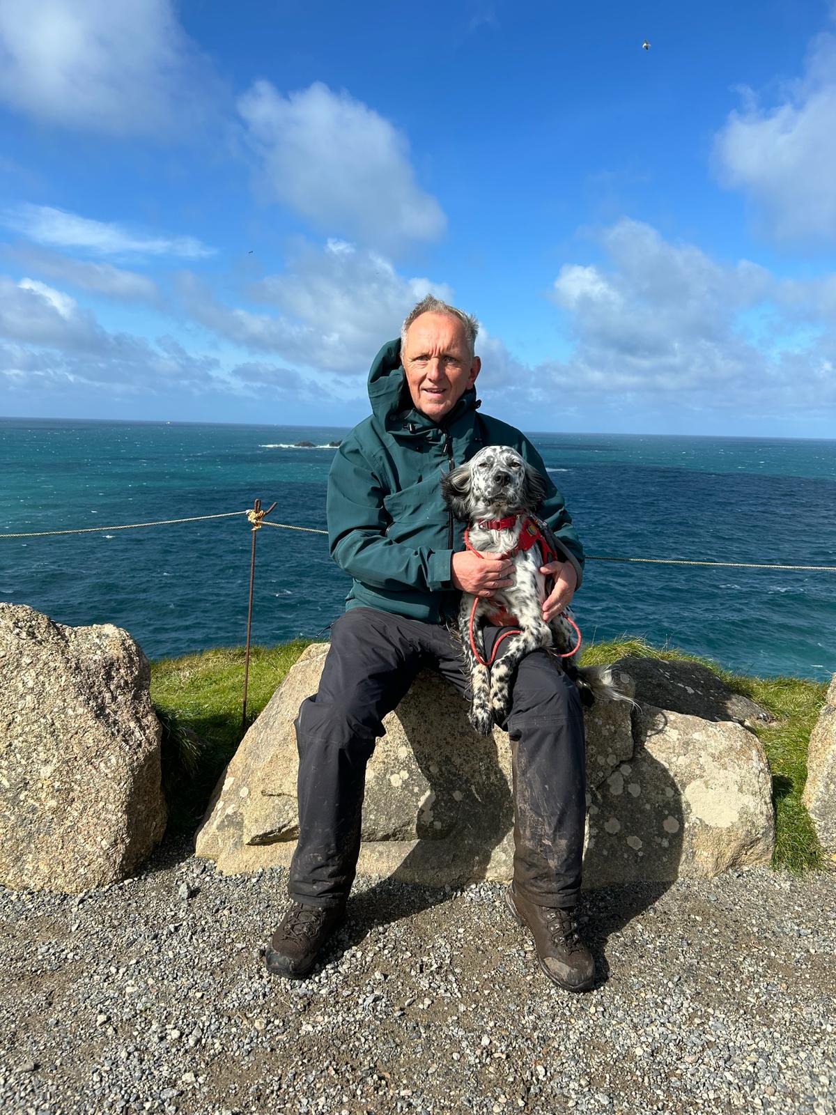
Day 26 April 4th: Cape Cornwall to Trewey

Our route today

The rain run off after so much poor weather is exceptional for the area.

The number of Mine shafts in the area is a testament to the endeavour and skill of the Miners.
Where am i now
We passed Lands End yesterday with sunshine!. We will head north easterly today will be heading up the rugged north Coast.
4/2/2024 8:12:08 PM
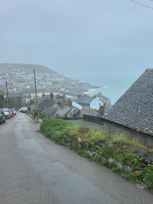
Day 25 April 3rd: St Levan to Cape Cornwall
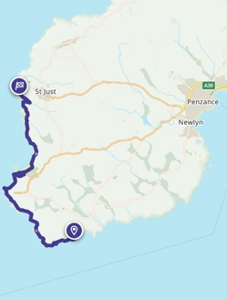
St Levan to Cape Cornwall route
Where am i now
Today we will pass England's most westerly point at Lands End before moving onto Cape Cornwall clos to St Just, which was the centre of Tin mining in this area of Cornwall. This means we will be heading onto to what is often referred to as the " North coast of Cornwall" Lets hope the weather is kind to us.
4/1/2024 8:04:39 PM
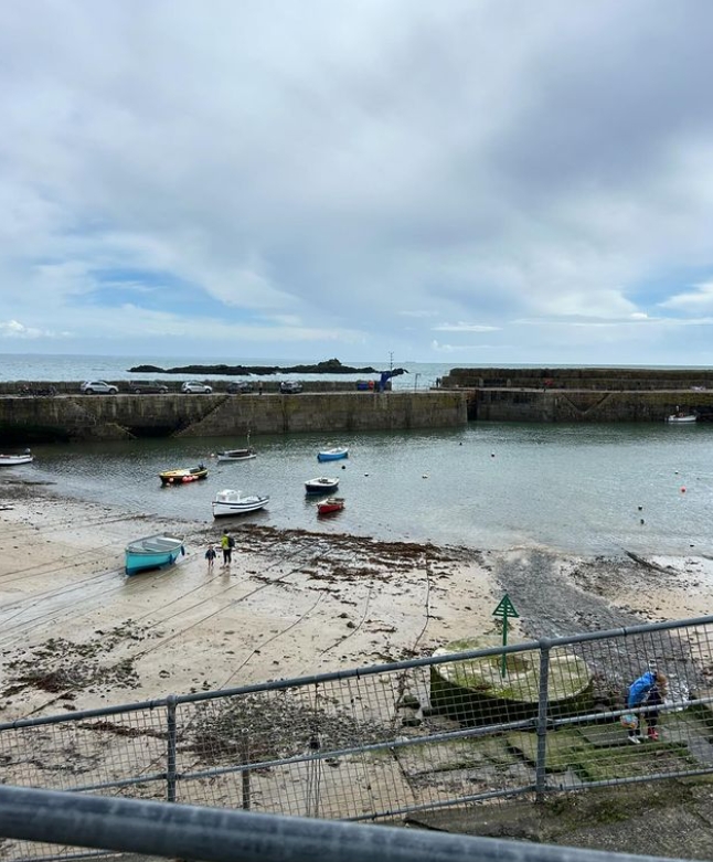
Day 24 April 2nd: Mousehole to St levan


Where am i now
Today we set off from Mousehole to reach our target for the day St Levan, where we will find the remains of the St Levan's chapel. We will be approaching the most westerly Point of England soon after which, we will be heading along the north coat in an easterly direction. That will be a milestone for us!
Video of area:
3/31/2024 9:36:49 PM
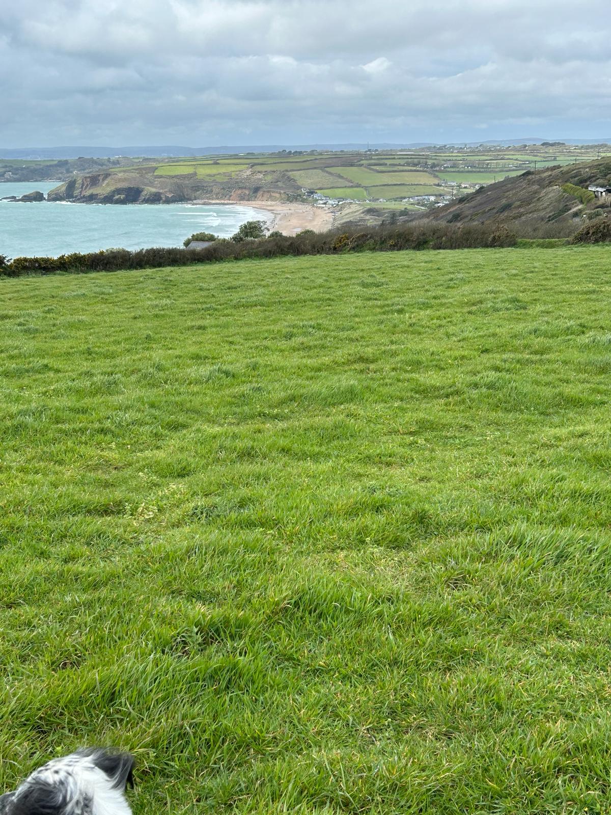
Day 23 April 1st: Praa Sands to Mousehole


Where am i now
Today we head off from Praa Sands to Mousehole passing through Penzance and Newlyn
3/30/2024 5:54:13 PM
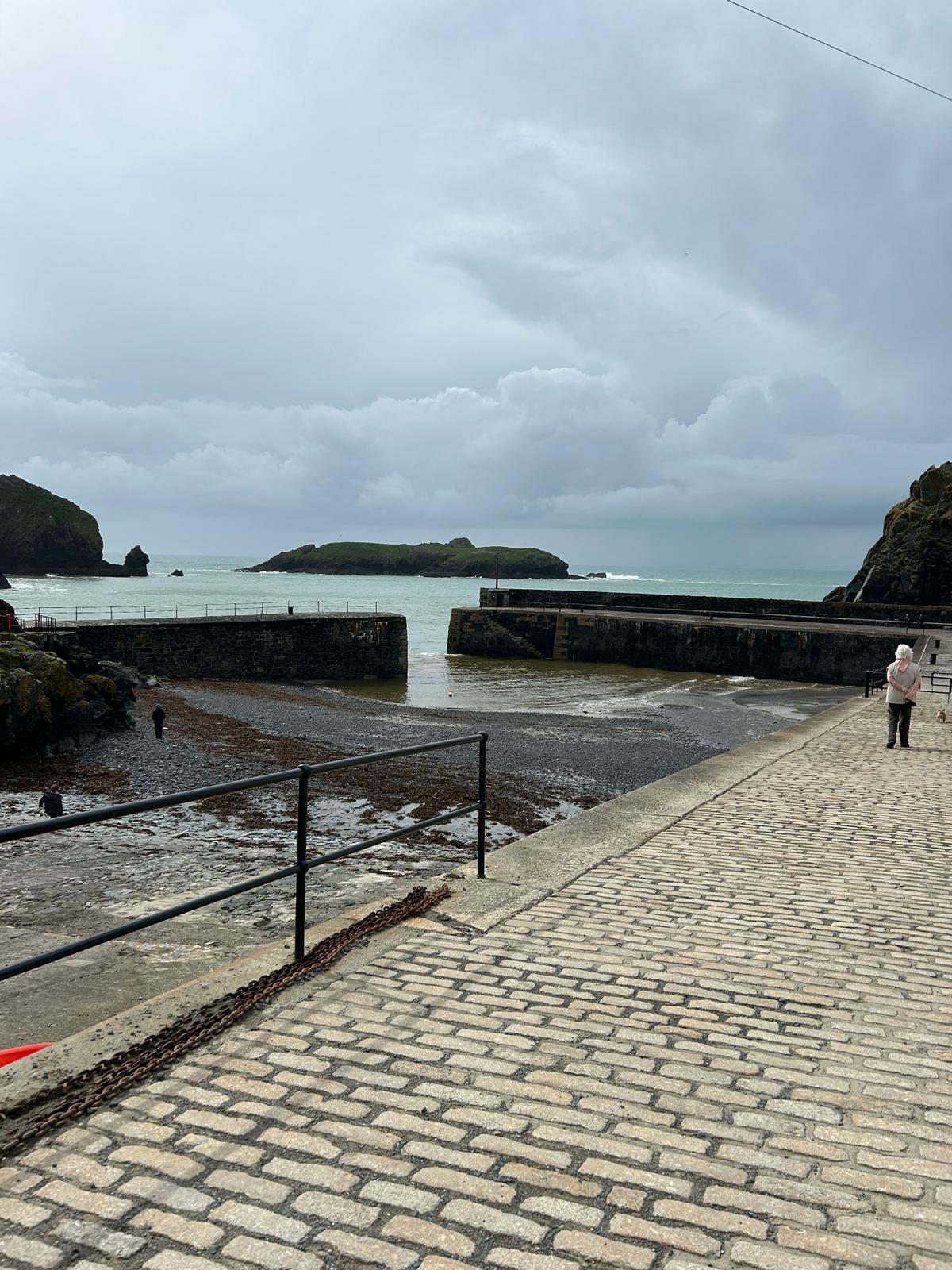
Day 22 March 31st: Mullion Cove to Praa Sands
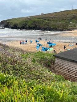
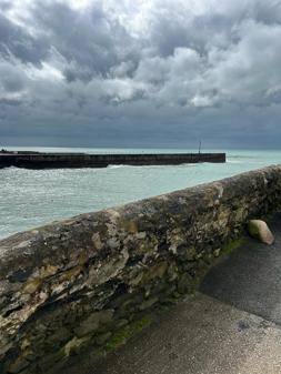

Where am i now
3/30/2024 6:44:41 AM
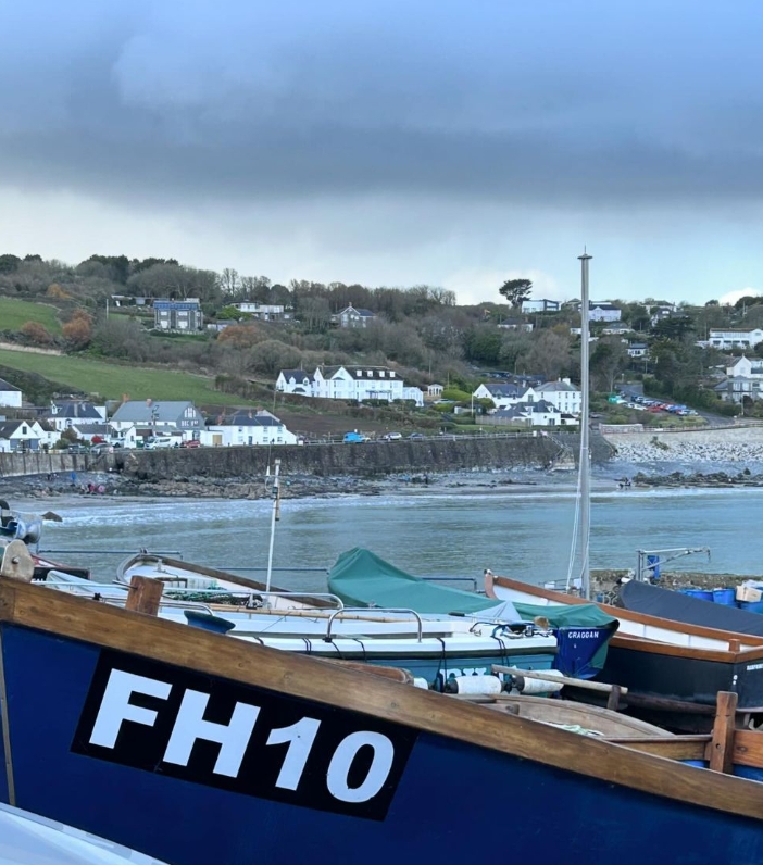
Day 21 Saturday 30th March: (1)
Today we set off from Cadgwith cove to Mullion Cove stopping off at the Lizard which is the most southerly point in England and seeing if we can spot seals in Polpeor cove. Weather permitting setting ourselves up to reach the most westerly point in the next week, Lands End.
Cornwall has 2 of the 4 Key Geographic points of England within 25 miles of each other.
Where am i now
3/29/2024 11:00:06 AM
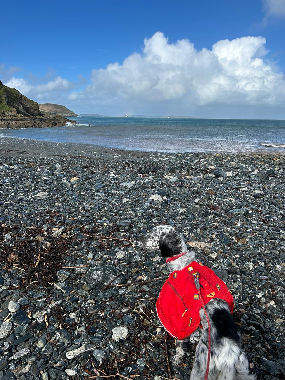
Day 20: 29th of March: Porthallow to Cadgwith

Porthallow to Cadgwith route today
Louis thought it looked promising. Rain is expected today at times today but not continual and much less wind. Hoping to round the Lizard Point tomorrow..
We now, after nearly3 weeks walking, have about the same distance to travel as it is to cross the USA from east to west coast at around 2742 miles, at least according to Alexa this morning.
Thanks for that Alexa! Reminds me of Forest Gump.


Short clip below of the early start.
Whatsapp Video 2024 03 29 At 19.54.38 Facc9d1a Coverack Bay
Where am i now
.
3/27/2024 9:51:56 AM
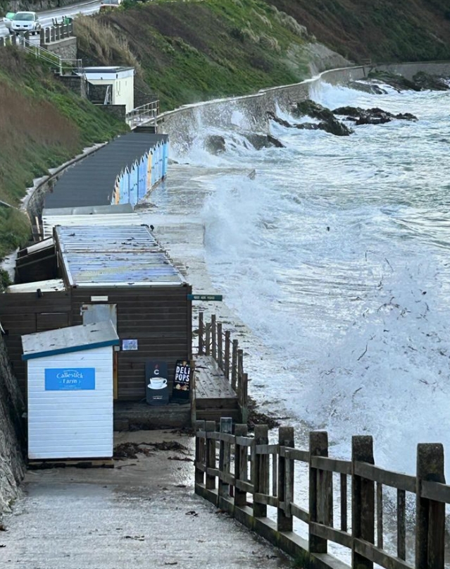
Day 19 28th of March: Falmouth to Porthallow

.
Where am i now
Today we are heading off from Falmouth to Porthallow. Having had a rest day, we are invigorated to continue our quest and support the cause. After a couple of hours battling the wind and rain, we decided that it was sensible to take a short overland cut across inland in the interests of safety for Louis.
3/27/2024 6:39:02 AM
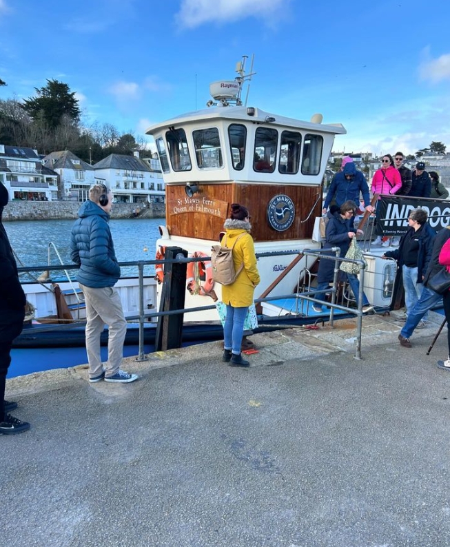
Day 18 Wednesday 27h of March: Falmouth A rest and plan ahead day
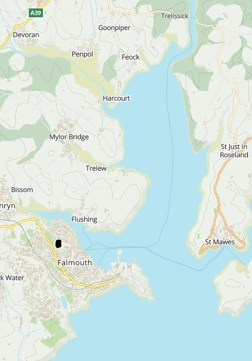
Where am i now
Today will be our first opportunity to take a rest day after 17 consecutive days walking, climbing and at times wading. We finally take a day to plan ahead and also take a very welcome rest and re-fuel. We are both well, although tired having covered 250 miles both carrying rucksacks or panniers. We would like to take the opportunity to say thank you! to all the people who have supported us either with donations (or general encouragement (Louis really loves that!). We know we have a long way to go with over 90% of the journey ahead of us, but we really take heart by the both comments as well as the donations left on our just giving page . For those of you who choose to remain anonymous it is no less appreciated.
3/24/2024 8:24:37 PM
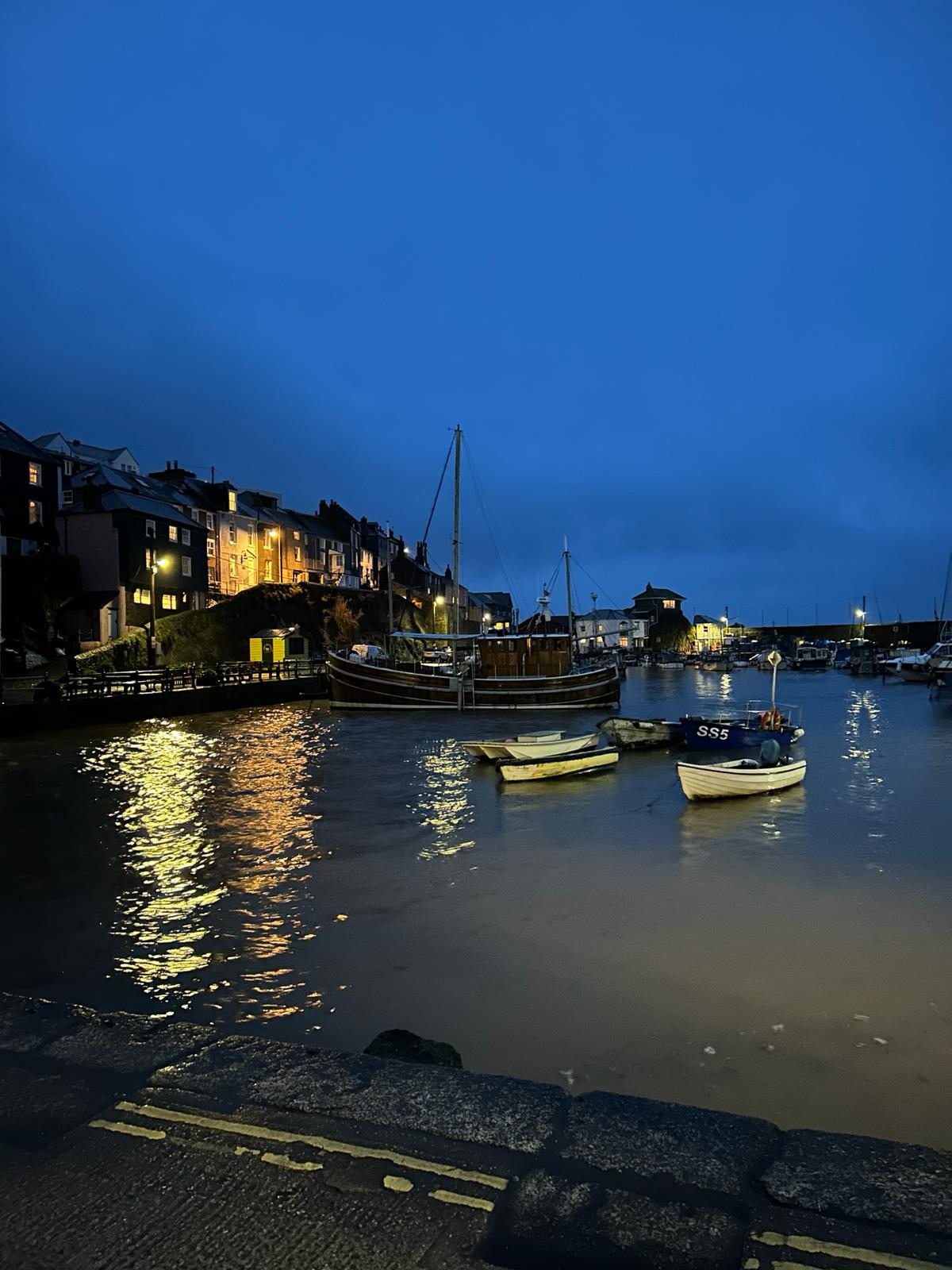
Day 17 Tuesday 26th of March
 .
. Todays Route
https://explore.osmaps.com/route/20786883/26th-march
Mevagissy to Portscatho (Falmouth)
Where am i now
We are hoping for a better weather day today as yesterday 'orrible. Louis was glad of the cover of his backpack but it really was dreadful and we were glad and grateful to eventually get in the dry. Today will be our last walking day, after which we will have our first opportunity to take a rest day after 17 consecutive days walking. Time for a welcome rest and re-fuel.
3/24/2024 8:21:33 PM
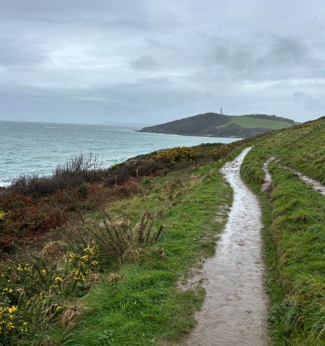
Day 16 Monday 25th of March Lansallos to Mevagissy
.
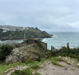
Todays Route
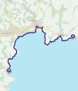
Where am i now
A long slog today, down to the ferry at Fowey from our start point and across the water. A recommendation received for a pit stop in Par which we will need as its strong winds and rain all day. Then onto Mevagissy.
3/23/2024 10:04:13 PM
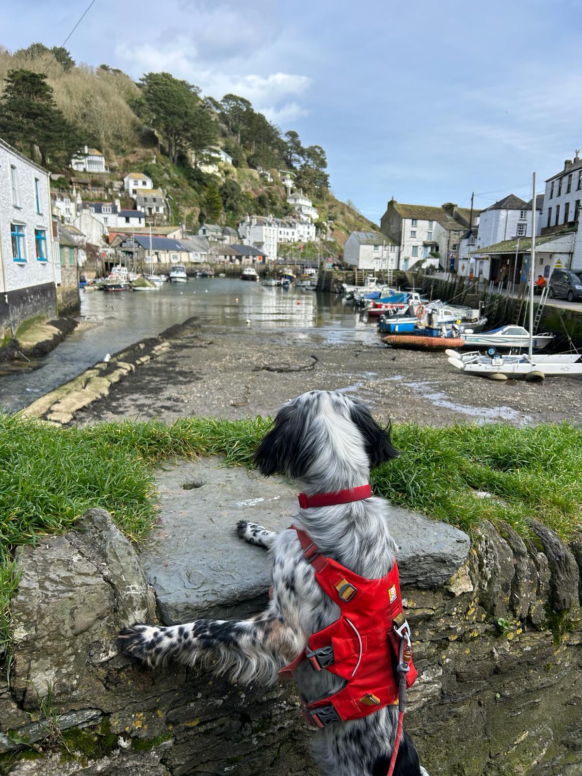
Day 15 Sunday 24th of March Portwrinkle to Lansallos via looe
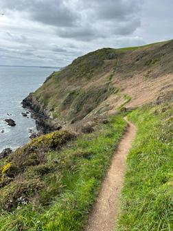
.
Todays Route
https://explore.osmaps.com/route/20785822/24th-march-amended

Where am i now
Our route takes us from Portwrinkle to Lansallos stopping off at Looe. The weather was fine so we got to meet to meet lots of walkers enjoying a Sunday stroll. We even managed to extend our walk for the Day by a few extra miles
3/22/2024 7:49:37 AM
Day 14 Saturday 23rd of March Plymouth To Portwrinkle
Todays route means for now we leave Devon and walk on into Cornwall. Its been 192 miles from delightful Dorset, through Glorious Devon and onto the Jewel of the west, the incomparable, Cornwall.

Where am i now
3/22/2024 7:49:27 AM
Day 13 Friday 22nd of March Mothercombe to Plymouth
We made it to Plymouth, Both of us ready for a good dinner.

Our route today from Mothercombe to Plymouth 25KM or 15.5 miles


Where am i now
Wet Feet - the only way across is to wade at low tide. Today we are lucky as we are being dropped off on the far side in Mothercombe to start our day and push into Plymouth 🐾🐾
3/21/2024 7:22:13 AM
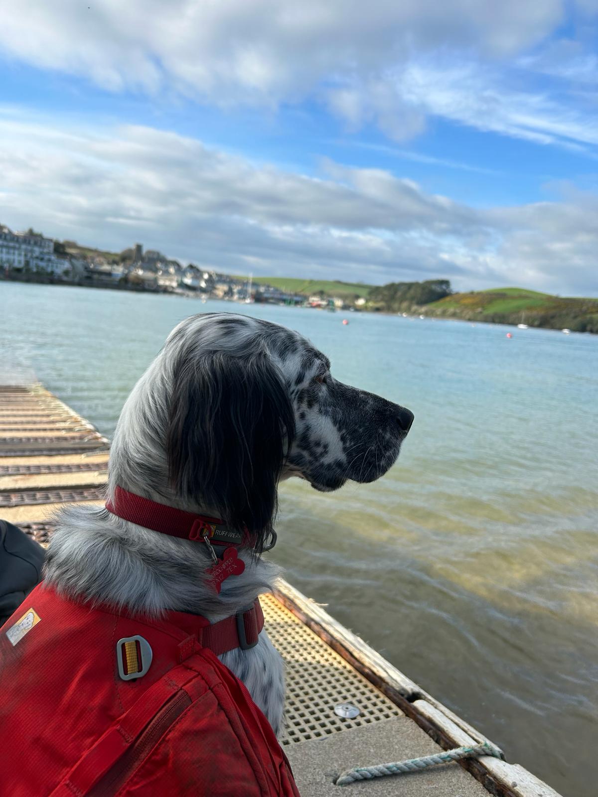
Day 12 Thursday 21st Salcombe to Kingston
Our route today Salcombe to Torwood

https://explore.osmaps.com/route/20469546/21st-march
Short video of our surrounding area around Bolt Head include in this update today
Tough going! Thankfully its not raining.
Where am i now
Well Yesterday was a tough one! Circa 18 miles . Our route today is a little kinder on the paws and boots. The picture featured is the last crossing into Salcombe. A welcome site indeed! Its the spring Equinox, Longer days...most encouraging.
Whatsapp Video 2024 03 22 At 08.14.30 Bdc0a162 Bolt head devon
3/18/2024 5:52:32 PM
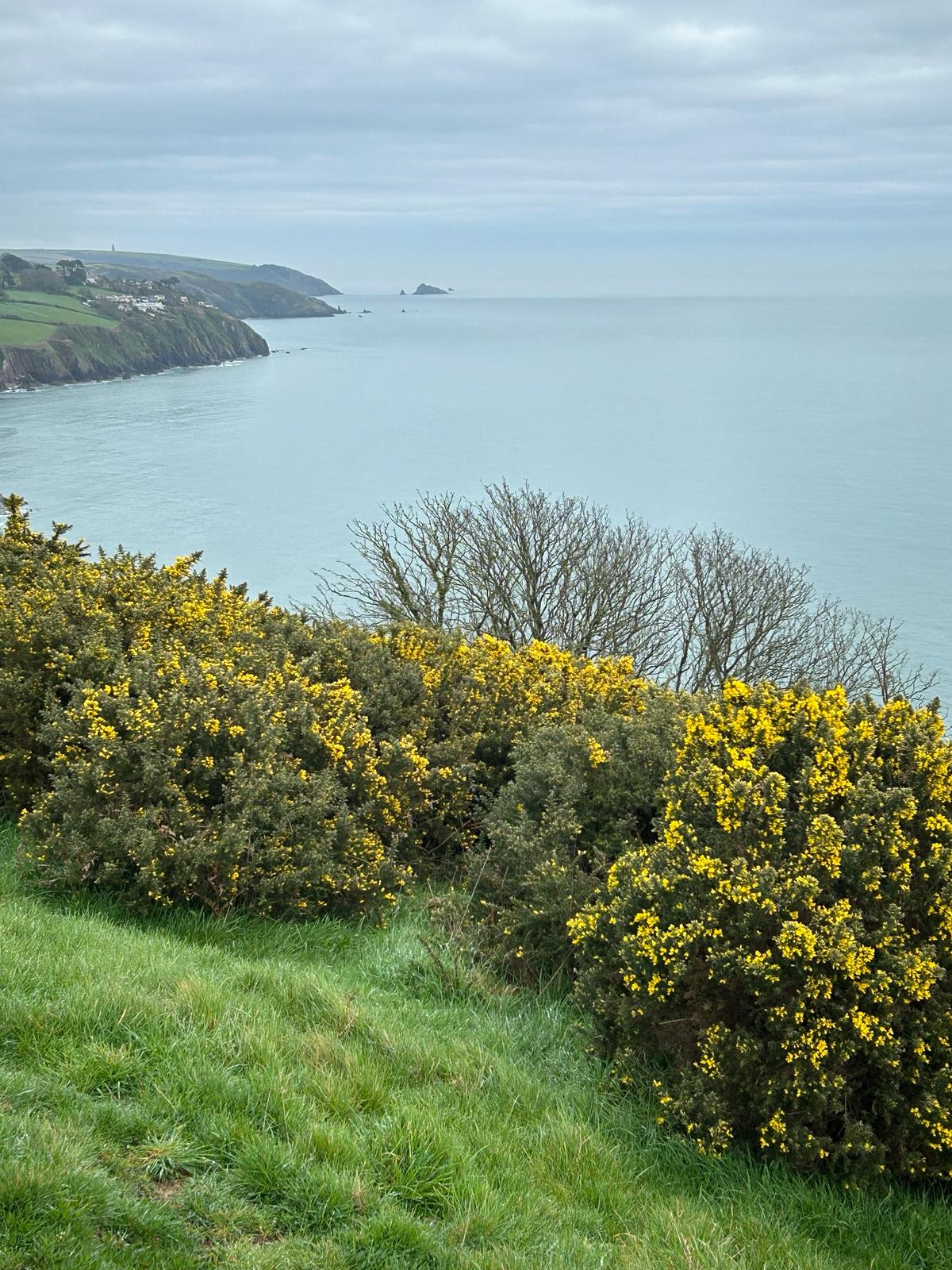
Day 11 Wednesday 20th of March 2024 Soke Fleming to Salcombe


Where am i now
Our route today is a long one but the reward is beautiful Salcombe. We are currently near Blackstone Rock after climbing out of Stoke Fleming our start point today
3/18/2024 5:52:17 PM
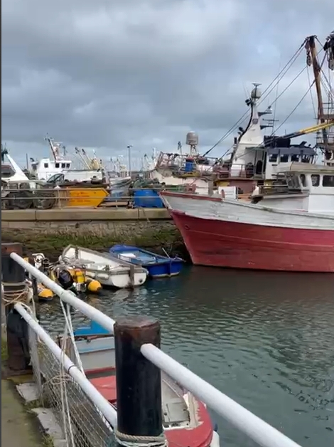
Day 10 19th March: Brixham to Stoke Fleming
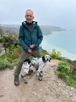

Its steep and slippery in these weather conditions/
Looking from Kingswear nearing Dartmouth

Route for Tuesday 19th of March

From Brixham, around the coast path to Kingswear across the Dartmouth ferry and onward to Stoke Fleming..
We learned today that over £60m worth of fish was sold at Brixham in 2022, Brixham Trawler Agents said, beating last year's record of £43.6m.
Its Ironic that the "old fella" is allergic to fish!
.
Where am i now
3/17/2024 6:17:04 PM
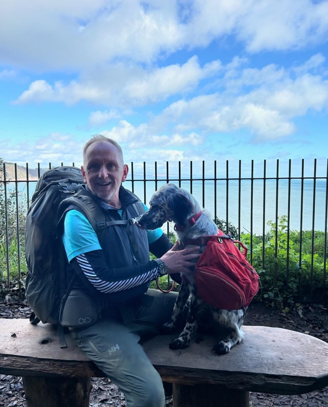
Day 9 March 18th Torquay to Brixham
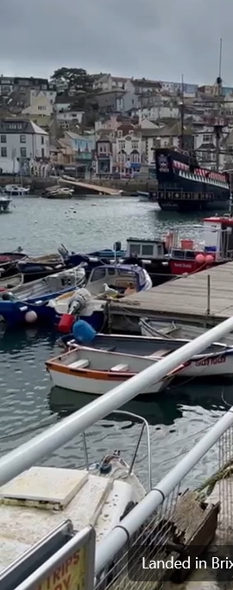
Short video:
Whatsapp Video 2024 03 18 At 17.16.44 Aab65ad5 Video Of Brixham
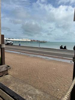
Paignton Pier on the way to Brixham

Louis resting this morning

Where am i now
3/16/2024 9:16:32 PM
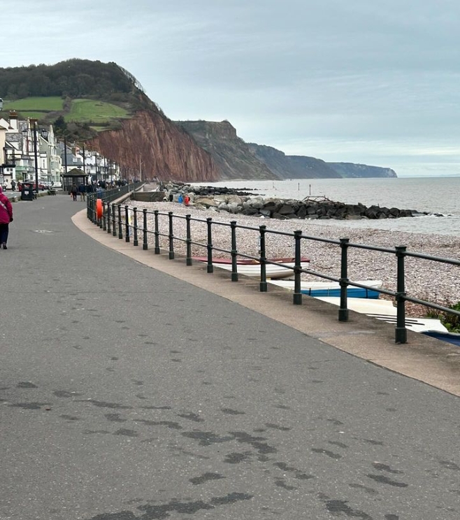
Day 8 March 17th Exmouth to Torquay


Where am i now
Dawlish Looking west to Teignmouth
1Sunday and Monday below.
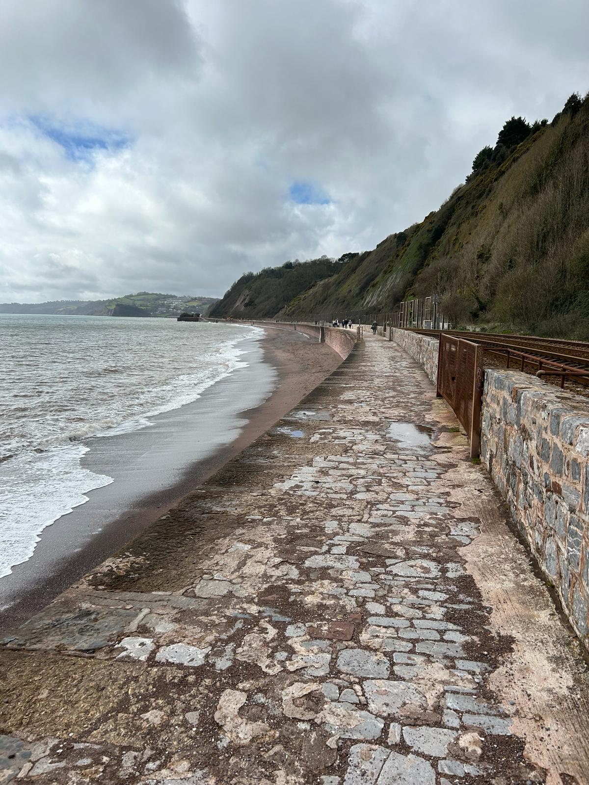
3/15/2024 8:18:52 PM
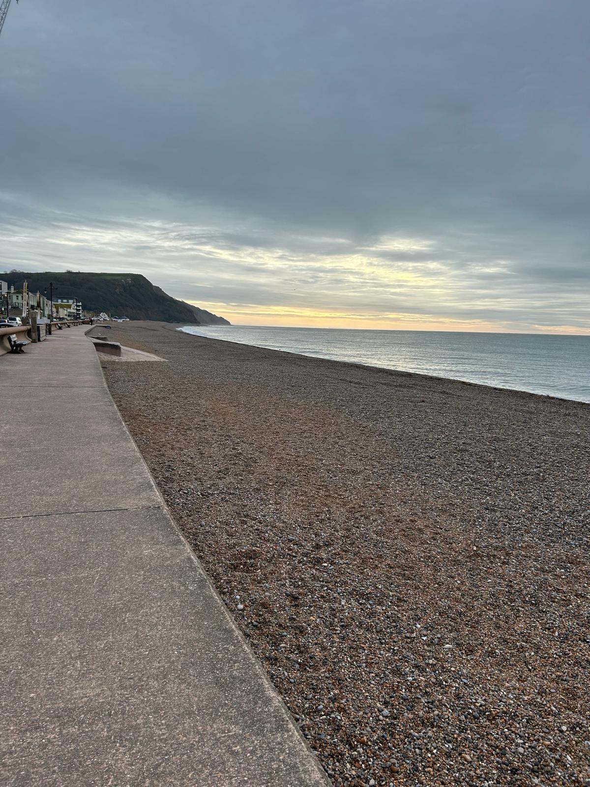
Day 7 March 16th Seaton to Exmouth
Go West Young Louis - On the beach this morning checking out our first climb of the day to Sidmouth and beyond.


Where am i now
Our route from Seaton to Exmouth plan. A big shout out to all the kind people we have met along the way. For the media that have covered us, so far, thanks, its been great and you have been so kind. Saturday will mark our first week completed. For all those people who have asked where I will be over the next days
We have included Map links for the Saturday Sunday and Monday below.
3/14/2024 10:02:22 PM
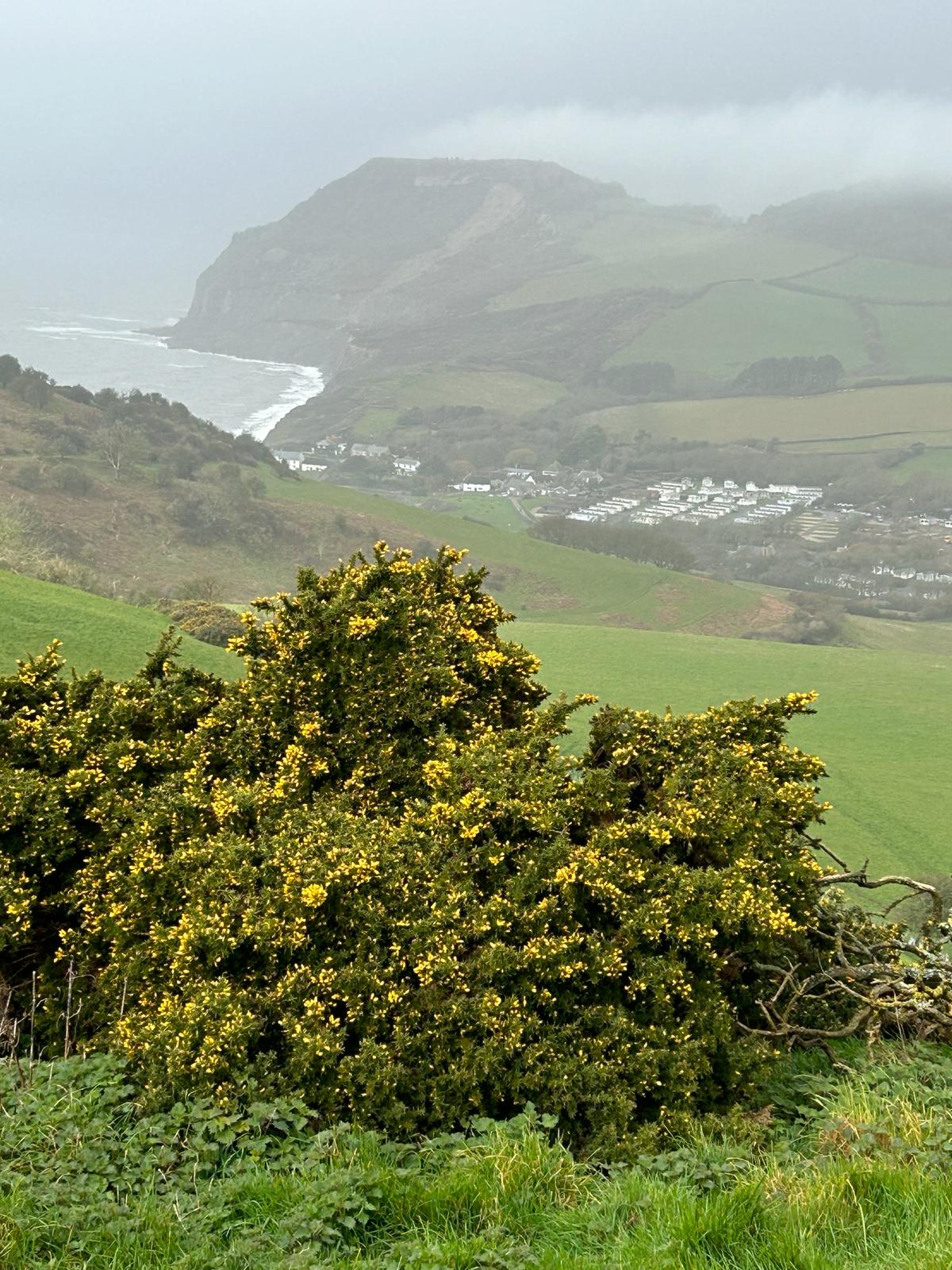
Day 6 March 15th Bridport to Seaton
Where am i now
Our route today from Bridport Dorset to Seaton Devon. Pretty much our first climb coming out of Eype. Up and over Thorncombe Beacon. Just before the downpour ☹. What goes down around here usually goes back up. Looking across to Golden Cap, the highest point in Dorset - Had to go over that to 🐾
3/14/2024 7:40:17 AM
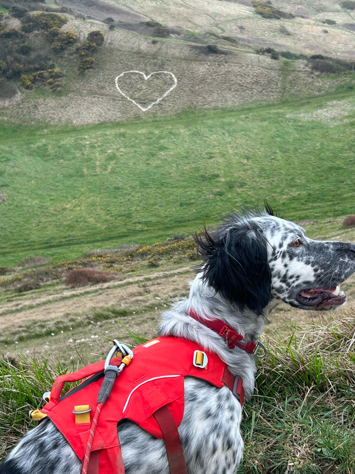
Day 5: March 14th Weymouth to Bridport
We leave the lovely people of Weymouth this morning to travel onwards, upwards and sometimes sideways! If you spot us, Give a wave! Check out our pictures towards the bottom of our homepage for more picture of out travels.
Where am i now
3/13/2024 7:46:18 AM
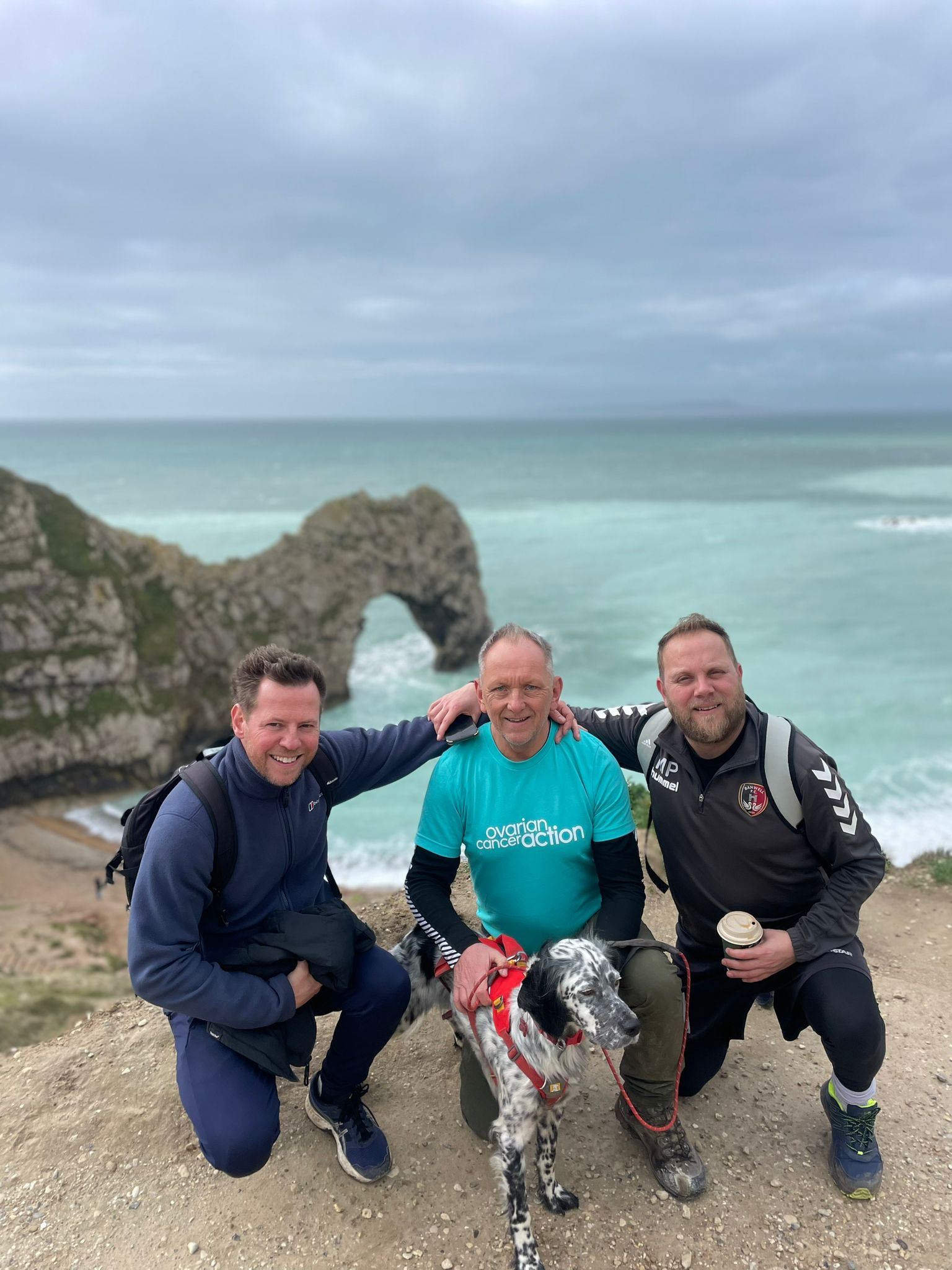
Day 4: March 13th Lulworth to Weymouth Dorset
We are heading from Lulworth along the coast to Weymouth. Joining us today are our good friends, Scott Mason and Mike Prior.
Day 4: To Weymouth
Where am i now
3/12/2024 7:10:12 AM
Day 3 March 12th Worth Maltravers to Lulworth and Durdle door
We are making our way towards Lulworth along the coast subject to MOD firing range being inactive but we may have to divert inland to avoid path closures. There a lot of rain about today so think this could be a tough one. Wish us luck!
Day 3: To Lulworth cove
Where am i now
Chapmans pool was closed so we had to make some detours. I don't think Louis was convinced it was the quickest way! ![enter image description here][1]
A day of drizzle, detours and mud. At least we got to see Kimmeridge bay and a great waterfall
Our route today
[OS Map][2]
3/11/2024 8:44:36 AM
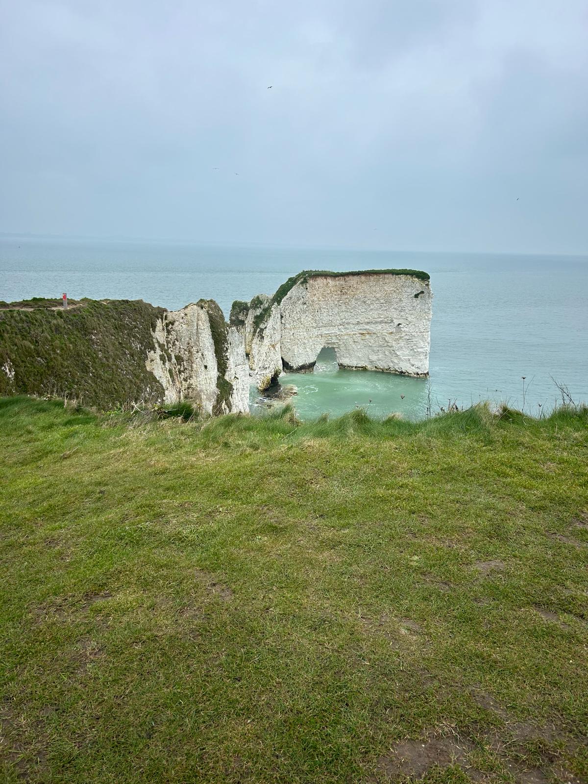
Day 2 March 11th Studland Bay to Knoll House and beyond
We are currently making our way towards along the coast to Old Harry rocks, then onto Swanage before progressing to our next rest stop. We have found the that coast path is very muddy and at times we have both been up to our knees in mud!
Where am i now
Our route today Harrys Rock
click on the links to see the route in detail
3/11/2024 8:01:55 AM
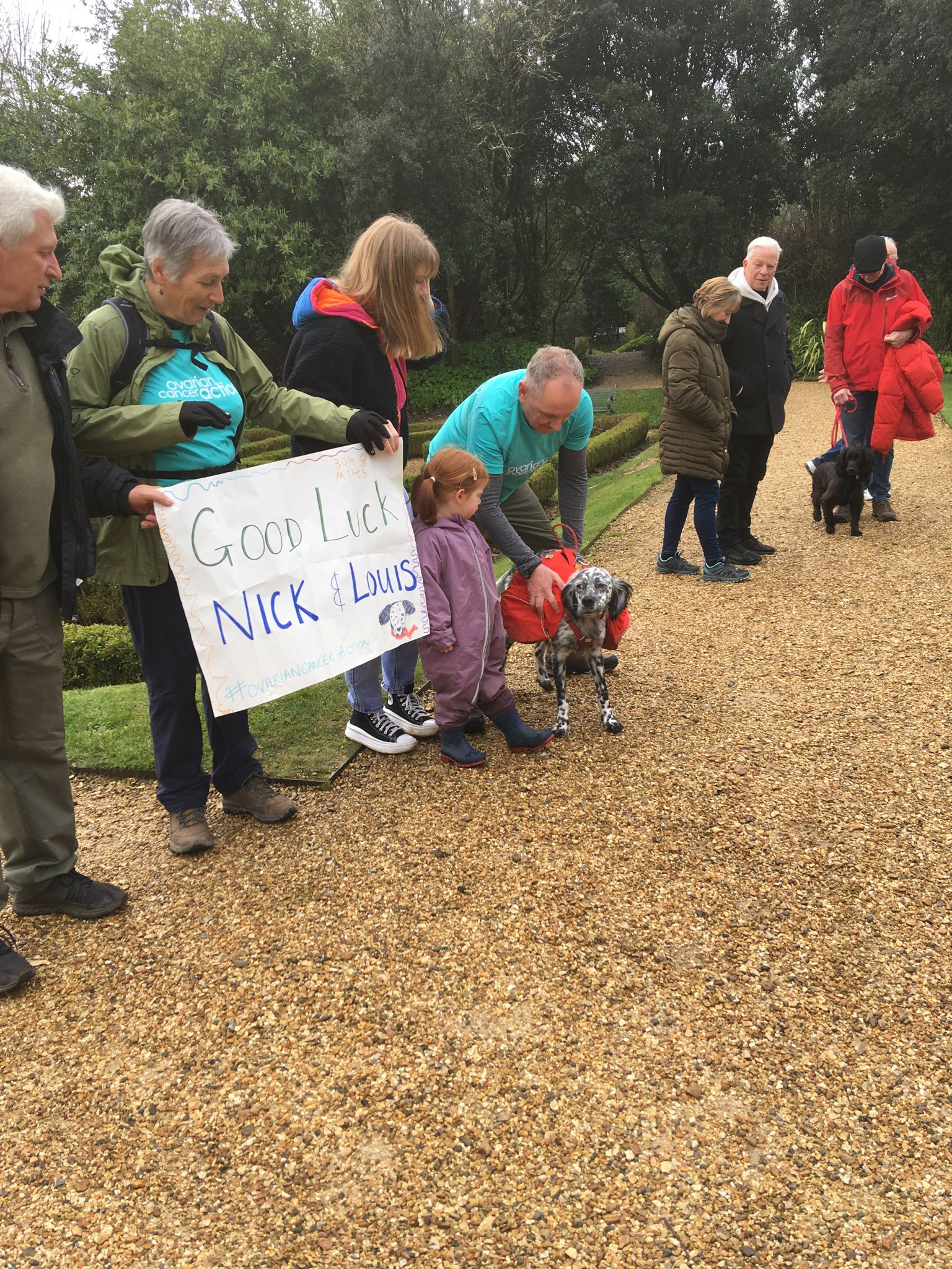
Our first day March 10th 2024 Highcliffe to Studland Dorset
A wonderful start with excellent weather. Our friends and supporters joined us at Highcliffe Castle Dorset to head off along the coast to Knoll House Studland. A journey of some 15 miles. Along the way we met some lovely people of Bournemouth and Poole. Thanks to the BBC who covered our story and the the article on BBC online. See our gallery for more pictures. Https://www.bbc.co.uk/news/uk-england-dorset-68527103
Crossing the River Stour at Christchurch ( thanks for the free passage Mr Ferryman)

Bournemouth and Poole

Sandbanks to Studland ferry

Where am i now
Yesterday's route
Our first day March 10th 2024 Highcliffe to Studland Dorset
Today 11th of March 2024 route.
2/5/2024 7:27:53 PM
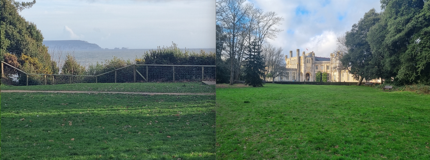
Start line approaching
Start line is now in sight – Louis & Nick leave from Highcliffe Castle (BH23 4LE) on Sunday 10th March (Mother’s Day). Stepping off at 09:30 hours. Take the 1st step with us and wave us on our way.
Where am i now
1/5/2024 5:30:21 PM
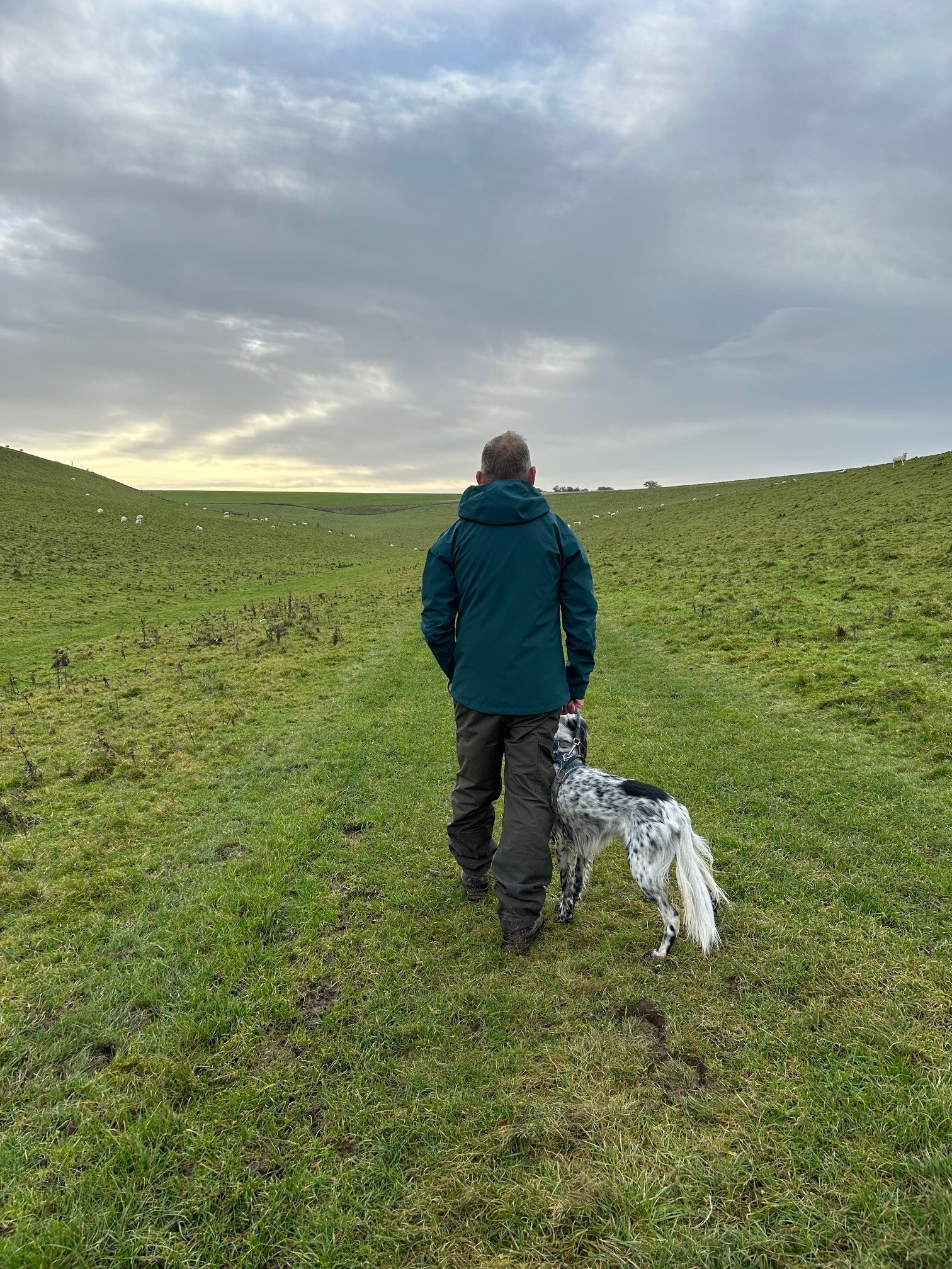
Getting Prepared
Nick & Louis’ journey so far is all about training. We walk between 8 – 10 miles a day over mixed terrain as we prepare ourselves for the start date – which is looming large now at 10th March 2024.
Where am i now

Total Journey in Miles

Current week Of 28 Weeks

544 miles

£'s Donated so far = 115% of target (including Gift Aid)